121 Boulder Dr Red Bud, IL 62278
Estimated Value: $249,000 - $315,000
Studio
--
Bath
--
Sq Ft
10,454
Sq Ft
About This Home
This home is located at 121 Boulder Dr, Red Bud, IL 62278 and is currently estimated at $274,765. 121 Boulder Dr is a home with nearby schools including Red Bud Elementary School, Red Bud High School, and St. Johns Lutheran School.
Ownership History
Date
Name
Owned For
Owner Type
Purchase Details
Closed on
Sep 12, 2012
Sold by
Booker Kenneth W and Booker Dawn R
Bought by
Booker Kenneth W and Booker Dawn R
Current Estimated Value
Home Financials for this Owner
Home Financials are based on the most recent Mortgage that was taken out on this home.
Original Mortgage
$144,000
Outstanding Balance
$99,595
Interest Rate
3.56%
Mortgage Type
New Conventional
Estimated Equity
$175,170
Purchase Details
Closed on
May 12, 2009
Sold by
Blossom City Developments Llc
Bought by
Bookr Kenneth W and Bookr Dawn R
Create a Home Valuation Report for This Property
The Home Valuation Report is an in-depth analysis detailing your home's value as well as a comparison with similar homes in the area
Home Values in the Area
Average Home Value in this Area
Purchase History
| Date | Buyer | Sale Price | Title Company |
|---|---|---|---|
| Booker Kenneth W | -- | None Available | |
| Bookr Kenneth W | $33,500 | None Available |
Source: Public Records
Mortgage History
| Date | Status | Borrower | Loan Amount |
|---|---|---|---|
| Open | Booker Kenneth W | $144,000 |
Source: Public Records
Tax History
| Year | Tax Paid | Tax Assessment Tax Assessment Total Assessment is a certain percentage of the fair market value that is determined by local assessors to be the total taxable value of land and additions on the property. | Land | Improvement |
|---|---|---|---|---|
| 2024 | $4,487 | $81,060 | $13,035 | $68,025 |
| 2022 | $3,800 | $70,760 | $11,380 | $59,380 |
| 2021 | $3,691 | $67,745 | $10,895 | $56,850 |
| 2020 | $3,761 | $69,400 | $11,162 | $58,238 |
| 2019 | $4,193 | $69,780 | $9,565 | $60,215 |
| 2018 | $4,139 | $76,932 | $10,545 | $66,387 |
| 2017 | $3,930 | $68,705 | $11,070 | $57,635 |
| 2016 | $3,675 | $66,625 | $10,735 | $55,890 |
| 2015 | $3,666 | $65,640 | $10,575 | $55,065 |
| 2014 | $3,666 | $67,100 | $10,810 | $56,290 |
| 2013 | $3,612 | $67,100 | $10,810 | $56,290 |
Source: Public Records
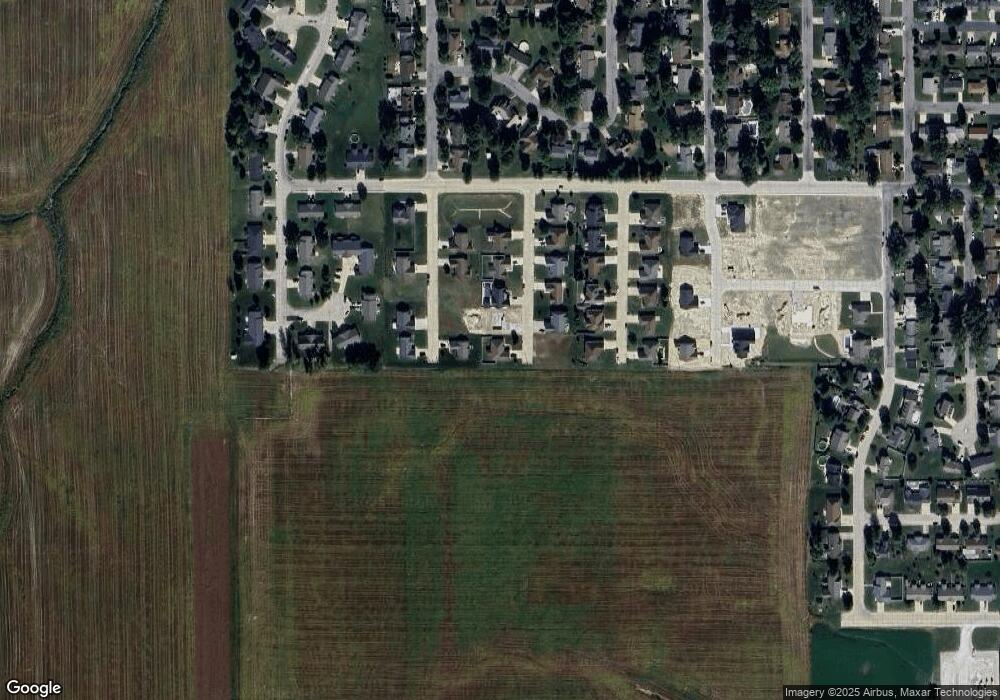
Map
Nearby Homes
- 409 Cobblestone Ln
- 1109 Stone St
- 708 Meadow Dr
- 1034 Raymond Dr
- 000 Route 159
- 319 Willow Oak Dr
- 1113 E Market St
- 201 Kaskaskia St
- Crook Rd
- 5511 Cedar Ridge Ln
- 0 White Swan Park Unit 32 17096895
- 000 Crook Dr
- 7066 White Swan Ln
- 16.8+ G Rd
- 5728 Brand Woods Dr
- Lot 1 E Back St
- Lot 2 E Back St
- 110 N Park St
- 7057 State Route 156
- 5466 Kk Rd
- 1120 Bayberry Ln
- 113 Boulder Dr
- 120 Boulder Dr
- 116 Boulder Dr
- 112 Boulder Dr
- 109 Boulder Dr
- 1121 Bayberry Ln
- 1108 Bayberry Ln
- 121 Sandstone Dr
- 1117 Bayberry Ln
- 117 Sandstone Dr
- 108 Boulder Dr
- 113 Sandstone Dr
- 104 Boulder Dr
- 105 Boulder Dr
- 1109 Bayberry Ln
- 109 Sandstone Dr
- 1104 Bayberry Ln
- 14 Cole Ct Unit 16
- 9 Cole Ct
Your Personal Tour Guide
Ask me questions while you tour the home.