Estimated Value: $154,178 - $234,000
3
Beds
2
Baths
1,120
Sq Ft
$164/Sq Ft
Est. Value
About This Home
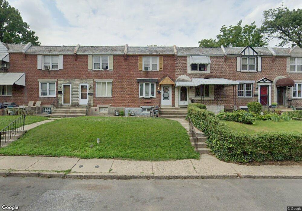
This home is located at 121 Branford Rd, Darby, PA 19023 and is currently estimated at $183,295, approximately $163 per square foot. 121 Branford Rd is a home located in Delaware County with nearby schools including Park Lane Elementary School, Penn Wood Middle School, and Penn Wood High School - Cypress Street Campus.
Ownership History
Date
Name
Owned For
Owner Type
Purchase Details
Closed on
Nov 12, 2020
Sold by
Lxr Rs Vii Llc
Bought by
Lxr Lpp 5 Llc
Current Estimated Value
Purchase Details
Closed on
Sep 25, 2017
Sold by
Lied Michael
Bought by
Lxr Rs Iv Llc
Purchase Details
Closed on
Jun 3, 2011
Sold by
Secretary Of Housing & Urban Development
Bought by
Lieb Michael
Purchase Details
Closed on
Aug 20, 2010
Sold by
Bac Home Loans Servicing Lp
Bought by
The Secretary Of Housing & Urban Develop
Purchase Details
Closed on
Mar 17, 2010
Sold by
Mcdonald Christopher D
Bought by
Bac Home Loans Servicing Lp and Countrywide Home Loans Servicing Lp
Purchase Details
Closed on
Dec 15, 2003
Sold by
Mckenzie Margaret A
Bought by
Mckenzie Margaret A and Mcdonald Christopher D
Create a Home Valuation Report for This Property
The Home Valuation Report is an in-depth analysis detailing your home's value as well as a comparison with similar homes in the area
Home Values in the Area
Average Home Value in this Area
Purchase History
| Date | Buyer | Sale Price | Title Company |
|---|---|---|---|
| Lxr Lpp 5 Llc | -- | None Available | |
| Lxr Lpp 5 Llc | $1,358 | None Listed On Document | |
| Lxr Rs Iv Llc | $60,000 | Land Services Usa Inc | |
| Lieb Michael | $30,000 | None Available | |
| The Secretary Of Housing & Urban Develop | -- | None Available | |
| Bac Home Loans Servicing Lp | -- | None Available | |
| Mckenzie Margaret A | -- | -- |
Source: Public Records
Tax History Compared to Growth
Tax History
| Year | Tax Paid | Tax Assessment Tax Assessment Total Assessment is a certain percentage of the fair market value that is determined by local assessors to be the total taxable value of land and additions on the property. | Land | Improvement |
|---|---|---|---|---|
| 2025 | $3,180 | $64,220 | $18,680 | $45,540 |
| 2024 | $3,180 | $64,220 | $18,680 | $45,540 |
| 2023 | $2,992 | $64,220 | $18,680 | $45,540 |
| 2022 | $2,910 | $64,220 | $18,680 | $45,540 |
| 2021 | $4,061 | $64,220 | $18,680 | $45,540 |
| 2020 | $2,262 | $30,960 | $15,140 | $15,820 |
| 2019 | $2,166 | $30,960 | $15,140 | $15,820 |
| 2018 | $2,139 | $30,960 | $0 | $0 |
| 2017 | $2,100 | $30,960 | $0 | $0 |
| 2016 | $170 | $30,960 | $0 | $0 |
| 2015 | $173 | $30,960 | $0 | $0 |
| 2014 | $170 | $30,960 | $0 | $0 |
Source: Public Records
Map
Nearby Homes
- 129 Branford Rd
- 29 Concord Rd
- 27 Concord Rd
- 33 Mermont Cir
- 1345 Park Ln
- 306 Golf Rd
- 1210 Berkley Rd
- 1232 Edgehill Rd
- 209 Weymouth Rd
- 1246 Wycombe Ave
- 1237 Edgehill Rd
- 32 Elder Ave
- 14 W Providence Rd
- 1203 Edgehill Rd
- 30 E Providence Rd
- 28 S 12th St
- 1125 Main St
- 1143 Chestnut St
- 1115 Chestnut St
- 14 N Macdade Blvd
- 123 Branford Rd
- 125 Branford Rd
- 119 Branford Rd
- 127 Branford Rd
- 117 Branford Rd
- 115 Branford Rd
- 113 Branford Rd
- 22 Golf Rd
- 111 Branford Rd
- 28 Golf Rd
- 109 Branford Rd
- 20 Golf Rd
- 107 Branford Rd
- 105 Branford Rd
- 122 Branford Rd
- 120 Branford Rd
- 124 Branford Rd
- 103 Branford Rd
- 118 Branford Rd
- 126 Branford Rd