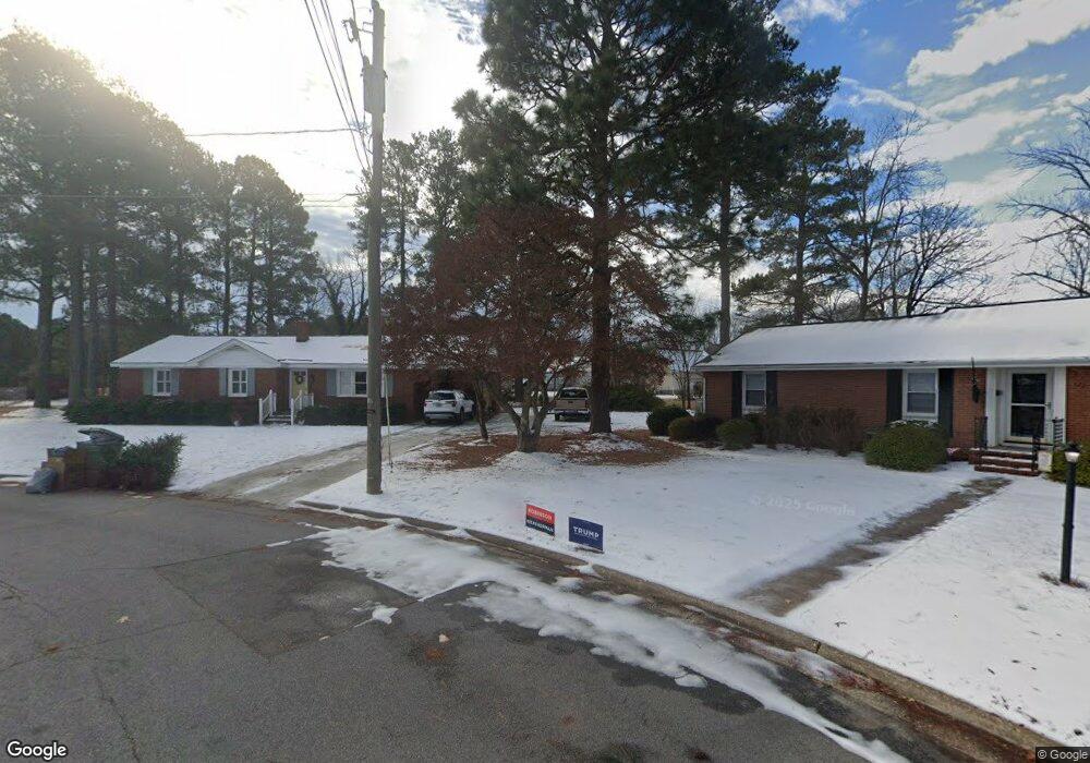
121 Briarcliff Cir Roanoke Rapids, NC 27870
Estimated Value: $156,000 - $226,000
3
Beds
2
Baths
1,535
Sq Ft
$122/Sq Ft
Est. Value
About This Home
This home is located at 121 Briarcliff Cir, Roanoke Rapids, NC 27870 and is currently estimated at $187,159, approximately $121 per square foot. 121 Briarcliff Cir is a home located in Halifax County with nearby schools including Roanoke Rapids High School, Gingerbread House, and Miracle Tabernacle Christian School.
Ownership History
Date
Name
Owned For
Owner Type
Purchase Details
Closed on
Aug 14, 2019
Sold by
Lewis Max G
Bought by
Haislip Edward G and Haislip Victoria C
Current Estimated Value
Home Financials for this Owner
Home Financials are based on the most recent Mortgage that was taken out on this home.
Original Mortgage
$109,100
Interest Rate
3.8%
Mortgage Type
New Conventional
Create a Home Valuation Report for This Property
The Home Valuation Report is an in-depth analysis detailing your home's value as well as a comparison with similar homes in the area
Home Values in the Area
Average Home Value in this Area
Purchase History
| Date | Buyer | Sale Price | Title Company |
|---|---|---|---|
| Haislip Edward G | $114,500 | -- |
Source: Public Records
Mortgage History
| Date | Status | Borrower | Loan Amount |
|---|---|---|---|
| Closed | Haislip Edward G | $109,100 |
Source: Public Records
Tax History Compared to Growth
Tax History
| Year | Tax Paid | Tax Assessment Tax Assessment Total Assessment is a certain percentage of the fair market value that is determined by local assessors to be the total taxable value of land and additions on the property. | Land | Improvement |
|---|---|---|---|---|
| 2025 | $25 | $140,300 | $34,500 | $105,800 |
| 2024 | $25 | $140,300 | $34,500 | $105,800 |
| 2023 | $2,444 | $122,900 | $34,500 | $88,400 |
| 2022 | $2,324 | $122,900 | $34,500 | $88,400 |
| 2021 | $2,251 | $122,900 | $34,500 | $88,400 |
| 2020 | $2,261 | $122,900 | $34,500 | $88,400 |
| 2019 | $2,141 | $114,100 | $34,500 | $79,600 |
| 2018 | $2,094 | $114,100 | $34,500 | $79,600 |
| 2017 | $2,092 | $114,100 | $34,500 | $79,600 |
| 2016 | $2,153 | $114,100 | $34,500 | $79,600 |
| 2015 | $2,053 | $114,100 | $34,500 | $79,600 |
| 2014 | $2,125 | $124,090 | $39,750 | $84,340 |
Source: Public Records
Map
Nearby Homes
- 113 Briarcliff Cir
- 1111 E 7th St
- 1103 E 7th St
- 1100 E 7th St
- 785 Rivers Edge Pkwy
- 783 Rivers Edge Pkwy
- 792 Rivers Edge Pkwy
- 779 Rivers Edge Pkwy
- 786 Rivers Edge Pkwy
- 784 Rivers Edge Pkwy
- 738 Rivers Edge Pkwy
- 782 Rivers Edge Pkwy
- LOT 14 Stoney Brook Dr
- Taft Plan at Canal Walk
- Roosevelt Plan at Canal Walk
- Monroe Plan at Canal Walk
- Jefferson Plan at Canal Walk
- 780 Rivers Edge Pkwy
- 769 Rivers Edge Pkwy
- 778 Rivers Edge Pkwy
- 116 Briarcliff Cir
- 117 Briarcliff Cir
- 1112 E 7th St
- 712 Rivers Edge Pkwy
- 710 Rivers Edge Pkwy
- 112 Briarcliff Cir
- 1110 E 7th St
- 1116 E 7th St
- 714 Rivers Edge Pkwy
- 108 Briarcliff Cir
- 708 Rivers Edge Pkwy
- 109 Briarcliff Cir
- 1106 E 7th St
- 716 Rivers Edge Pkwy
- 105 Briarcliff Cir
- 1104 E 7th St
- 104 Briarcliff Cir
- 706 Rivers Edge Pkwy
- 1109 E 7th St
- 1102 E 7th St