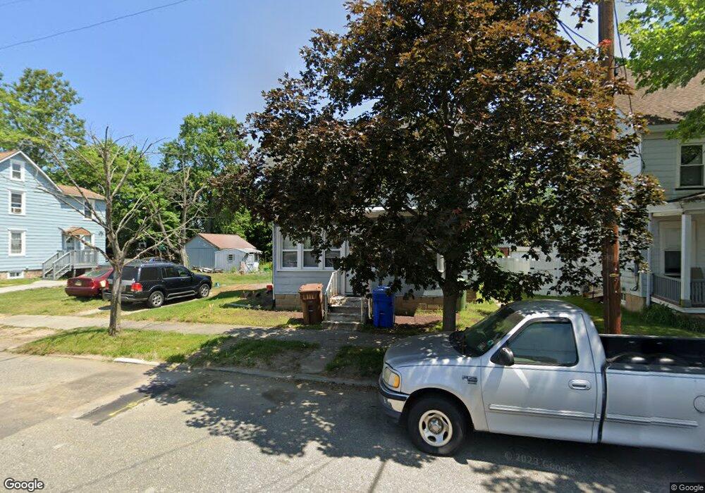
121 Broad St Swedesboro, NJ 08085
Estimated Value: $200,922 - $258,000
--
Bed
--
Bath
1,216
Sq Ft
$190/Sq Ft
Est. Value
About This Home
This home is located at 121 Broad St, Swedesboro, NJ 08085 and is currently estimated at $231,231, approximately $190 per square foot. 121 Broad St is a home located in Gloucester County with nearby schools including Margaret C Clifford School, Gov. Charles C. Stratton School, and Gen. Charles G. Harker School.
Ownership History
Date
Name
Owned For
Owner Type
Purchase Details
Closed on
Aug 5, 2010
Sold by
Kier Douglas T and Kier Caroline M
Bought by
Kier Douglas T and Kier Caroline M
Current Estimated Value
Purchase Details
Closed on
Sep 10, 2009
Sold by
Kier Douglas T
Bought by
Keir Douglas T and Kier Caroline M
Home Financials for this Owner
Home Financials are based on the most recent Mortgage that was taken out on this home.
Original Mortgage
$131,257
Outstanding Balance
$86,363
Interest Rate
5.31%
Mortgage Type
FHA
Estimated Equity
$144,868
Purchase Details
Closed on
Feb 26, 1999
Sold by
Puglisi Samuel and Puglisi Ann M
Bought by
Kier Douglas T
Home Financials for this Owner
Home Financials are based on the most recent Mortgage that was taken out on this home.
Original Mortgage
$78,750
Interest Rate
6.78%
Mortgage Type
FHA
Create a Home Valuation Report for This Property
The Home Valuation Report is an in-depth analysis detailing your home's value as well as a comparison with similar homes in the area
Home Values in the Area
Average Home Value in this Area
Purchase History
| Date | Buyer | Sale Price | Title Company |
|---|---|---|---|
| Kier Douglas T | -- | None Available | |
| Keir Douglas T | -- | None Available | |
| Kier Douglas T | $83,000 | Heritage Title & Abstract |
Source: Public Records
Mortgage History
| Date | Status | Borrower | Loan Amount |
|---|---|---|---|
| Open | Keir Douglas T | $131,257 | |
| Closed | Kier Douglas T | $78,750 |
Source: Public Records
Tax History Compared to Growth
Tax History
| Year | Tax Paid | Tax Assessment Tax Assessment Total Assessment is a certain percentage of the fair market value that is determined by local assessors to be the total taxable value of land and additions on the property. | Land | Improvement |
|---|---|---|---|---|
| 2025 | $4,558 | $107,200 | $35,000 | $72,200 |
| 2024 | $4,518 | $107,200 | $35,000 | $72,200 |
| 2023 | $4,518 | $107,200 | $35,000 | $72,200 |
| 2022 | $4,509 | $107,200 | $35,000 | $72,200 |
| 2021 | $4,184 | $107,200 | $35,000 | $72,200 |
| 2020 | $4,352 | $107,200 | $35,000 | $72,200 |
| 2019 | $4,275 | $107,200 | $35,000 | $72,200 |
| 2018 | $4,317 | $107,200 | $35,000 | $72,200 |
| 2017 | $4,293 | $107,200 | $35,000 | $72,200 |
| 2016 | $4,289 | $107,200 | $35,000 | $72,200 |
| 2015 | $4,166 | $107,200 | $35,000 | $72,200 |
| 2014 | $4,253 | $116,000 | $40,200 | $75,800 |
Source: Public Records
Map
Nearby Homes
- 209 Broad St
- 414 Vanneman Ave
- 110 Franklin St
- 1602 Kings Hwy
- 122 East Ave
- 109 Chestnut St
- 26 Garwin Rd
- 218 Dominics Ct
- 112 Jules Dr
- 48 Garwin Rd
- 1030 Auburn Rd
- 2101 Lexington Mews
- 155 Erica Ct
- 2153 Route 322
- 163 Erica Ct
- 176 Patricia Dr
- 1508 Lexington Mews
- 1406 Lexington Mews
- 1801 Lexington Mews
- 114 Saratoga Ln
- 115 Broad St
- 127 Broad St Unit M02
- 111 Broad St
- 118 Church St
- 124 Church St Unit M02
- 129 Broad St
- 103 Broad St
- 124 Broad St
- 101 Broad St
- 120 Broad St
- 110 Church St
- 110 Church St
- 123 Church St Unit M02
- 102 Church St Unit 104
- 127 Church St
- 111 Church St
- 117 Church St
- 216 2nd St
- 113 Church St
- 301 2nd St Unit 3