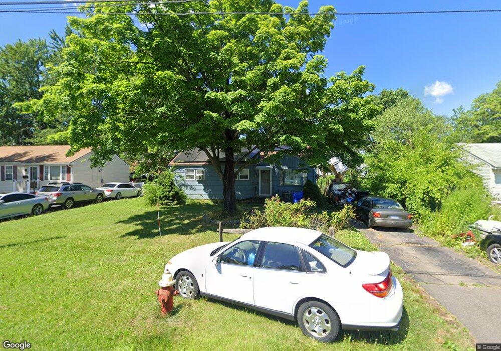
121 Brookside Cir Wethersfield, CT 06109
Estimated Value: $235,000 - $305,000
3
Beds
1
Bath
888
Sq Ft
$310/Sq Ft
Est. Value
About This Home
This home is located at 121 Brookside Cir, Wethersfield, CT 06109 and is currently estimated at $275,111, approximately $309 per square foot. 121 Brookside Cir is a home located in Hartford County with nearby schools including Emerson-Williams School, Silas Deane Middle School, and Wethersfield High School.
Ownership History
Date
Name
Owned For
Owner Type
Purchase Details
Closed on
Oct 17, 1994
Sold by
Sevene Henry R Est
Bought by
Devaney Rebecca A
Current Estimated Value
Home Financials for this Owner
Home Financials are based on the most recent Mortgage that was taken out on this home.
Original Mortgage
$82,300
Interest Rate
8.43%
Mortgage Type
Unknown
Create a Home Valuation Report for This Property
The Home Valuation Report is an in-depth analysis detailing your home's value as well as a comparison with similar homes in the area
Home Values in the Area
Average Home Value in this Area
Purchase History
| Date | Buyer | Sale Price | Title Company |
|---|---|---|---|
| Devaney Rebecca A | $83,000 | -- |
Source: Public Records
Mortgage History
| Date | Status | Borrower | Loan Amount |
|---|---|---|---|
| Closed | Devaney Rebecca A | $82,300 |
Source: Public Records
Tax History
| Year | Tax Paid | Tax Assessment Tax Assessment Total Assessment is a certain percentage of the fair market value that is determined by local assessors to be the total taxable value of land and additions on the property. | Land | Improvement |
|---|---|---|---|---|
| 2025 | $6,476 | $157,110 | $63,170 | $93,940 |
| 2024 | $4,709 | $108,960 | $58,100 | $50,860 |
| 2023 | $4,552 | $108,960 | $58,100 | $50,860 |
| 2022 | $4,476 | $108,960 | $58,100 | $50,860 |
| 2021 | $4,431 | $108,960 | $58,100 | $50,860 |
| 2020 | $4,434 | $108,960 | $58,100 | $50,860 |
| 2019 | $4,439 | $108,960 | $58,100 | $50,860 |
| 2018 | $4,433 | $108,700 | $55,000 | $53,700 |
| 2017 | $4,323 | $108,700 | $55,000 | $53,700 |
| 2016 | $4,189 | $108,700 | $55,000 | $53,700 |
| 2015 | $4,151 | $108,700 | $55,000 | $53,700 |
| 2014 | $3,994 | $108,700 | $55,000 | $53,700 |
Source: Public Records
Map
Nearby Homes
- 1 Brussels Ave
- 19 Albert Ave
- 1 Bristol St
- 219-221 Jordan Ln
- 192 Wolcott Hill Rd
- 295 Ridge Rd Unit 8
- 55 Rutledge Rd
- 144 Brown St
- 23 Hillcrest Ave
- 107 Harmund Place
- 166 George St
- 28 Bolton St
- 43 Yale St
- 18 Avalon Place
- 51 Hanmer St
- 208 Mountain St
- 173 Timber Trail
- 317-319 Garden St
- 183-185 Cheshire St
- 273 Forest Dr
- 115 Brookside Cir
- 127 Brookside Cir
- 111 Brookside Cir
- 133 Brookside Cir
- 122 Brookside Cir
- 116 Brookside Cir
- 128 Brookside Cir
- 107 Brookside Cir
- 132 Brookside Cir
- 112 Brookside Cir
- 141 Brookside Cir
- 39 Brookside Cir
- 43 Brookside Cir
- 101 Brookside Cir
- 33 Brookside Cir
- 142 Brookside Cir
- 106 Brookside Cir
- 49 Brookside Cir
- 27 Brookside Cir
- 147 Brookside Cir
Your Personal Tour Guide
Ask me questions while you tour the home.