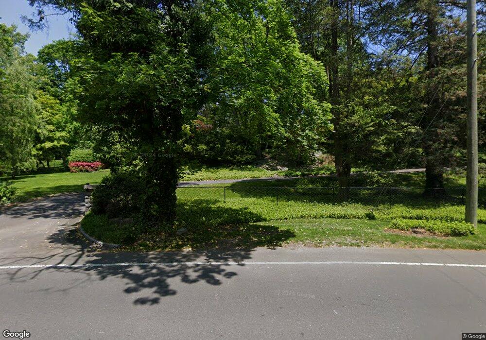
121 Brookside Dr Greenwich, CT 06831
Mid-Country West NeighborhoodEstimated Value: $4,868,000 - $6,612,000
Studio
--
Bath
--
Sq Ft
96,268
Sq Ft
About This Home
This home is located at 121 Brookside Dr, Greenwich, CT 06831 and is currently estimated at $5,729,004. 121 Brookside Dr is a home located in Fairfield County with nearby schools including North Street School, Central Middle School, and Greenwich High School.
Ownership History
Date
Name
Owned For
Owner Type
Purchase Details
Closed on
Apr 11, 1986
Bought by
Crowley James F and Crowley Martha M
Current Estimated Value
Create a Home Valuation Report for This Property
The Home Valuation Report is an in-depth analysis detailing your home's value as well as a comparison with similar homes in the area
Home Values in the Area
Average Home Value in this Area
Purchase History
| Date | Buyer | Sale Price | Title Company |
|---|---|---|---|
| Crowley James F | -- | -- |
Source: Public Records
Mortgage History
| Date | Status | Borrower | Loan Amount |
|---|---|---|---|
| Open | Crowley James F | $375,000 | |
| Open | Crowley James F | $1,100,000 | |
| Closed | Crowley James F | $1,000,000 | |
| Closed | Crowley James F | $1,000,000 |
Source: Public Records
Tax History
| Year | Tax Paid | Tax Assessment Tax Assessment Total Assessment is a certain percentage of the fair market value that is determined by local assessors to be the total taxable value of land and additions on the property. | Land | Improvement |
|---|---|---|---|---|
| 2025 | $34,567 | $2,796,920 | $876,120 | $1,920,800 |
| 2024 | $32,607 | $2,731,820 | $876,120 | $1,855,700 |
| 2023 | $28,994 | $2,491,790 | $876,120 | $1,615,670 |
| 2022 | $28,730 | $2,491,790 | $876,120 | $1,615,670 |
| 2021 | $34,519 | $2,867,060 | $792,680 | $2,074,380 |
| 2020 | $34,462 | $2,867,060 | $792,680 | $2,074,380 |
| 2019 | $34,806 | $2,867,060 | $792,680 | $2,074,380 |
| 2018 | $34,032 | $2,867,060 | $792,680 | $2,074,380 |
| 2017 | $34,459 | $2,867,060 | $792,680 | $2,074,380 |
| 2016 | $33,914 | $2,867,060 | $792,680 | $2,074,380 |
| 2015 | $34,545 | $2,896,880 | $1,353,310 | $1,543,570 |
| 2014 | $33,676 | $2,896,880 | $1,353,310 | $1,543,570 |
Source: Public Records
Map
Nearby Homes
- 68 Dearfield Dr
- 7 Dearfield Ln
- 11 Lafayette Ct Unit 5B
- 11 Lafayette Ct Unit 5B
- 6 Benedict Place
- 51 Glen Rd
- 47 Lafayette Place Unit 6J
- 47 Lafayette Place Unit 6J
- 60 Prospect St Unit A58
- 60 Prospect St
- 1 Prescott Ln
- 25 W Elm St Unit 65
- 25 W Elm St Unit 43
- 50 Church St Unit 5
- 21 Calhoun Dr
- 63 Church St Unit A
- 84 E Putnam Ave
- 3 Bolling Place
- 65 Sherwood Place
- 169 Mason St Unit 3B
- 125 Brookside Dr
- 21 Grove Ln
- 25 Grove Ln
- 115 Brookside Dr
- 20 Glenville Rd
- 124 Brookside Dr
- 18 Glenville Rd
- 12 Glenville Rd
- 12 Glenville Rd Unit 210
- 12 Glenville Rd Unit 104
- 12 Glenville Rd Unit 107
- 12 Glenville Rd Unit 302
- 12 Glenville Rd Unit 211
- 12 Glenville Rd Unit 111
- 12 Glenville Rd Unit 105
- 12 Glenville Rd Unit 209
- 28 Glenville Rd
- 116 Brookside Dr
- 15 Grove Ln
Your Personal Tour Guide
Ask me questions while you tour the home.