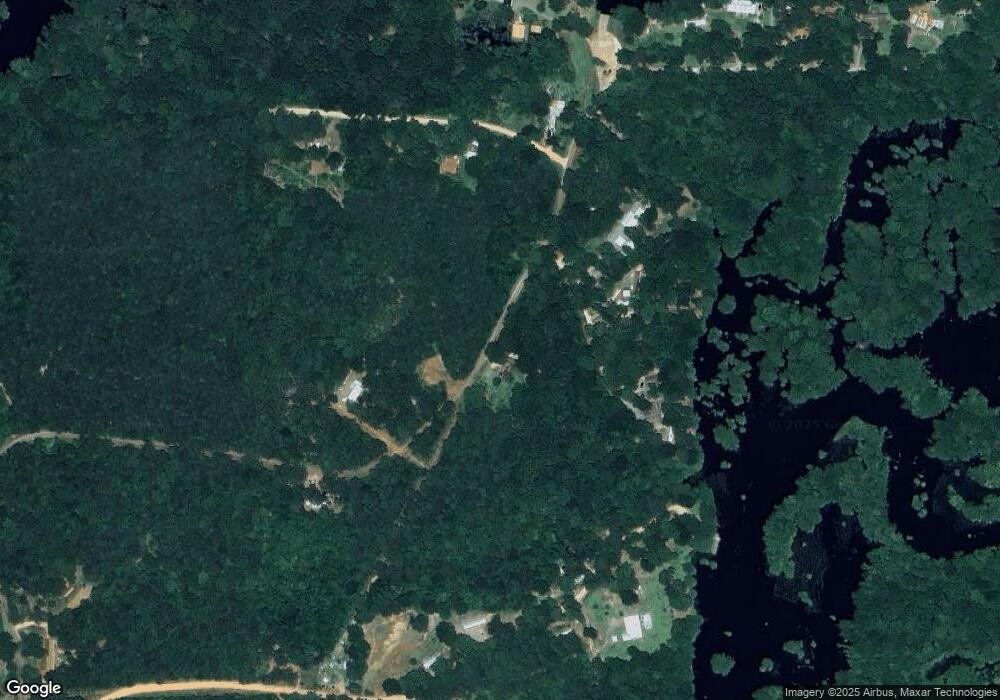
121 Bud Davidson Rd Bernice, LA 71222
Estimated Value: $155,000 - $270,000
2
Beds
2
Baths
1,166
Sq Ft
$168/Sq Ft
Est. Value
About This Home
This home is located at 121 Bud Davidson Rd, Bernice, LA 71222 and is currently estimated at $195,524, approximately $167 per square foot. 121 Bud Davidson Rd is a home located in Union Parish with nearby schools including Union Parish 6th Grade Center.
Ownership History
Date
Name
Owned For
Owner Type
Purchase Details
Closed on
Dec 4, 2012
Sold by
Howard Dennis Roy
Bought by
Easterwood Jimmy D and Easterwood Peggy L
Current Estimated Value
Home Financials for this Owner
Home Financials are based on the most recent Mortgage that was taken out on this home.
Original Mortgage
$100,800
Outstanding Balance
$68,685
Interest Rate
3.4%
Mortgage Type
New Conventional
Estimated Equity
$126,839
Purchase Details
Closed on
Aug 20, 2010
Sold by
Green Land & Investments L L C
Bought by
Howard Dennis Roy
Home Financials for this Owner
Home Financials are based on the most recent Mortgage that was taken out on this home.
Original Mortgage
$83,870
Interest Rate
4.58%
Mortgage Type
FHA
Purchase Details
Closed on
Sep 16, 2009
Sold by
Green Alvin Y and Green Sybil H
Bought by
Green Land & Investments L L C
Create a Home Valuation Report for This Property
The Home Valuation Report is an in-depth analysis detailing your home's value as well as a comparison with similar homes in the area
Purchase History
| Date | Buyer | Sale Price | Title Company |
|---|---|---|---|
| Easterwood Jimmy D | $112,000 | None Available | |
| Howard Dennis Roy | $85,000 | None Available | |
| Green Land & Investments L L C | -- | None Available |
Source: Public Records
Mortgage History
| Date | Status | Borrower | Loan Amount |
|---|---|---|---|
| Open | Easterwood Jimmy D | $100,800 | |
| Previous Owner | Howard Dennis Roy | $83,870 |
Source: Public Records
Tax History
| Year | Tax Paid | Tax Assessment Tax Assessment Total Assessment is a certain percentage of the fair market value that is determined by local assessors to be the total taxable value of land and additions on the property. | Land | Improvement |
|---|---|---|---|---|
| 2025 | $1,260 | $14,666 | $4,375 | $10,291 |
| 2024 | $1,260 | $14,666 | $4,375 | $10,291 |
| 2023 | $953 | $11,100 | $4,063 | $7,037 |
| 2022 | $117 | $11,100 | $4,063 | $7,037 |
| 2021 | $15 | $11,100 | $4,063 | $7,037 |
| 2020 | $15 | $11,100 | $4,063 | $7,037 |
| 2019 | $15 | $10,660 | $4,375 | $6,285 |
| 2018 | $15 | $10,661 | $4,375 | $6,286 |
| 2017 | $13 | $10,661 | $4,375 | $6,286 |
| 2016 | $5 | $10,661 | $4,375 | $6,286 |
| 2015 | $5 | $7,779 | $2,000 | $5,779 |
| 2014 | $5 | $7,780 | $2,000 | $5,780 |
| 2013 | $569 | $7,780 | $2,000 | $5,780 |
Source: Public Records
Map
Nearby Homes
- 674 Sandfield Rd
- 0 Cypress Creek Rd
- 0 & 0 Masonic Rd
- 00 Jinks Rd
- 0 lot 1 Mcintosh Rd
- 1607 Cypress Creek Rd
- 214 Dogwood Ln
- 272 Dogwood Ln
- 218 Dogwood Ln
- 000 Scotts Hideaway Rd Unit 7 ac
- 000 Scotts Hideaway Rd Unit 8.6 ac
- 200 Malcolm Jerry Rd
- 142 Fox
- 113 Green Bay Rd
- 000 Dozier Rd
- 0 lot 3 Platts Landing
- 000 Spring Lake Rd
- 781 Scotts Hideaway Rd
- Lot 35 Dozier Creek Cir
- Lot 27 Dozier Creek Cir
- 119 Bud Davidson Rd
- 111 Bud Davidson Rd
- 143 Bud Davidson Rd
- 141 Bud Davidson Rd
- 1240 Hog Pen Rd
- 1206 Hog Pen Rd
- 1227 Hog Pen Rd
- 161 Shannon Rd
- 1207 Hog Pen Rd
- 1231 Hog Pen Rd
- 253 Kays Landing
- 241 Kays Landing
- 248 Kays Landing
- 000 Kay's Landing
- 246 Kays Landing
- 125 Shannon Rd
- 177 Platt Dr
- 177 Kays Landing
- 198 Kays Landing
- 1335 Hog Pen Rd
