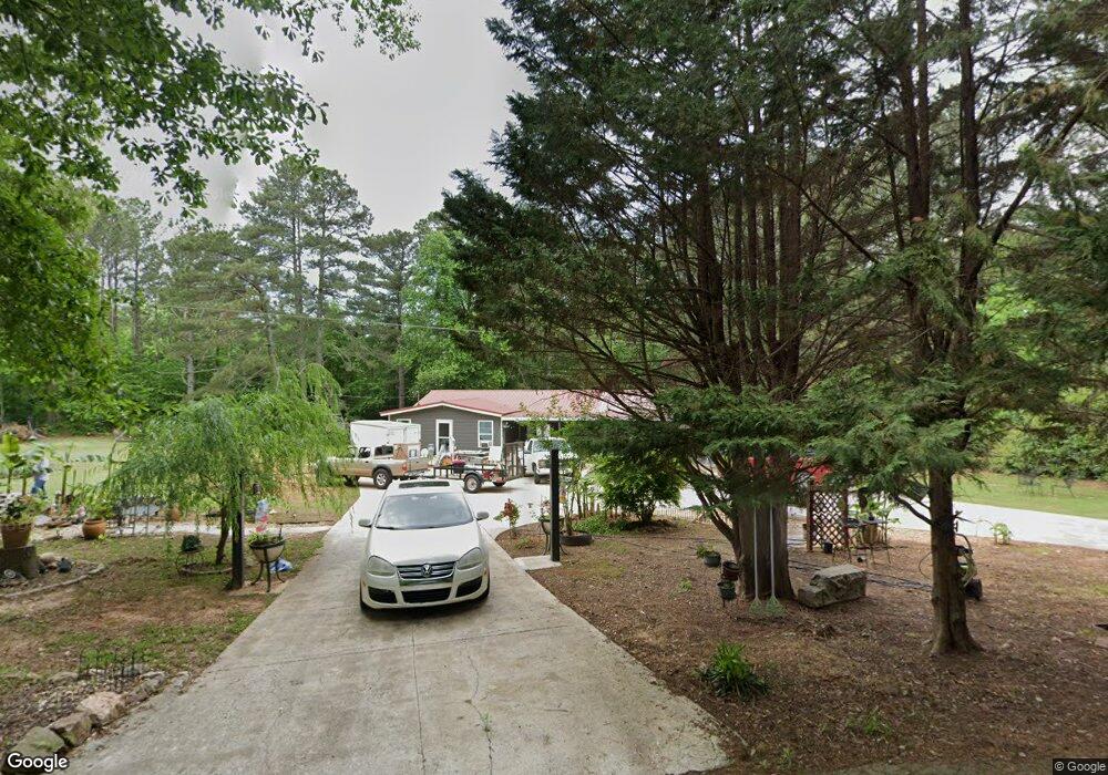
121 Byrd Trail Carrollton, GA 30116
Estimated Value: $198,000 - $236,000
3
Beds
1
Bath
1,188
Sq Ft
$181/Sq Ft
Est. Value
About This Home
This home is located at 121 Byrd Trail, Carrollton, GA 30116 and is currently estimated at $215,221, approximately $181 per square foot. 121 Byrd Trail is a home with nearby schools including Whitesburg Elementary School, Central Middle School, and Central High School.
Ownership History
Date
Name
Owned For
Owner Type
Purchase Details
Closed on
Nov 2, 2005
Sold by
Nunez Juan and Nunez Luis
Bought by
Nunez Juan
Current Estimated Value
Purchase Details
Closed on
Sep 29, 1999
Sold by
Nunez Juan
Bought by
Nunez Juan and Nunez Luis
Purchase Details
Closed on
May 28, 1999
Sold by
Davenport Randy and Davenport D
Bought by
Dunson Vanessa S
Purchase Details
Closed on
Nov 16, 1988
Bought by
Davenport Randy and Davenport D
Create a Home Valuation Report for This Property
The Home Valuation Report is an in-depth analysis detailing your home's value as well as a comparison with similar homes in the area
Home Values in the Area
Average Home Value in this Area
Purchase History
| Date | Buyer | Sale Price | Title Company |
|---|---|---|---|
| Nunez Juan | -- | -- | |
| Nunez Juan | -- | -- | |
| Nunez Juan | $58,000 | -- | |
| Dunson Vanessa S | $37,000 | -- | |
| Davenport Randy | -- | -- |
Source: Public Records
Tax History Compared to Growth
Tax History
| Year | Tax Paid | Tax Assessment Tax Assessment Total Assessment is a certain percentage of the fair market value that is determined by local assessors to be the total taxable value of land and additions on the property. | Land | Improvement |
|---|---|---|---|---|
| 2024 | $945 | $57,043 | $7,282 | $49,761 |
| 2023 | $945 | $51,074 | $5,826 | $45,248 |
| 2022 | $732 | $40,202 | $3,884 | $36,318 |
| 2021 | $644 | $34,267 | $3,107 | $31,160 |
| 2020 | $581 | $30,731 | $2,825 | $27,906 |
| 2019 | $548 | $28,747 | $2,825 | $25,922 |
| 2018 | $502 | $25,934 | $2,640 | $23,294 |
| 2017 | $503 | $25,934 | $2,640 | $23,294 |
| 2016 | $504 | $25,934 | $2,640 | $23,294 |
| 2015 | $364 | $17,017 | $6,213 | $10,804 |
| 2014 | $366 | $17,018 | $6,213 | $10,804 |
Source: Public Records
Map
Nearby Homes
- 0 Heath Rd Unit 20173471
- 00 Heath Rd
- 2800 Georgia 16
- 2800 Sr 16
- 2716 Georgia 16
- 200 Heath Rd
- 201 Little New York Rd
- 0 Clem Lowell Rd Unit 10479926
- 0 Clem Lowell Rd Unit 147578
- 0 Clem Lowell Rd Unit 7630669
- 185 White Oak Ct
- 184 Whooping Creek Church Rd
- 143 Oak Leaf Dr Unit 163
- 143 Oak Leaf Dr
- 2181 2201 Star Point
- 0 Bankhead Hwy and Sassafras Unit 140936
- 357 Old Driver Rd
- 207 Sally Duke Dr
- 248 Sally Duke Dr
- 255 Sally Duke Dr
- 101 Byrd Trail
- 127 Byrd Trail
- 69 Byrd Trail
- 196 Cypress Cir
- 210 Cypress Cir
- 43 Byrd Trail
- 3205 S Highway 16
- 3185 S Highway 16
- 3159 S Highway 16
- 38 Juniper Dr
- 38 Juniper Dr Unit M136
- 186 Cypress Cir
- 0 W Miles Rd Unit 2761712
- 0 W Miles Rd Unit 7639524
- 0000 W Miles Rd
- 0 W Miles Rd Unit 2&3 8080077
- 0 W Miles Rd Unit 8545902
- 220 Cypress Cir Unit 53
- 220 Cypress Cir
- 220 Cypress Cir