121 Carrolls Way Tisbury, MA 02568
Vineyard Haven NeighborhoodEstimated Value: $1,653,780
--
Bed
2
Baths
2,124
Sq Ft
$779/Sq Ft
Est. Value
About This Home
This home is located at 121 Carrolls Way, Tisbury, MA 02568 and is currently estimated at $1,653,780, approximately $778 per square foot. 121 Carrolls Way is a home located in Dukes County with nearby schools including Tisbury Elementary School and Martha's Vineyard Regional High School.
Ownership History
Date
Name
Owned For
Owner Type
Purchase Details
Closed on
Jun 29, 2012
Sold by
Aritaur Communications
Bought by
Comcast Of Connecticut
Current Estimated Value
Purchase Details
Closed on
Aug 7, 1998
Sold by
Broadcast Prop Inc
Bought by
Tower Ventures Inc
Home Financials for this Owner
Home Financials are based on the most recent Mortgage that was taken out on this home.
Original Mortgage
$3,200,000
Interest Rate
6.92%
Mortgage Type
Commercial
Create a Home Valuation Report for This Property
The Home Valuation Report is an in-depth analysis detailing your home's value as well as a comparison with similar homes in the area
Home Values in the Area
Average Home Value in this Area
Purchase History
| Date | Buyer | Sale Price | Title Company |
|---|---|---|---|
| Comcast Of Connecticut | $700,000 | -- | |
| Tower Ventures Inc | $215,000 | -- |
Source: Public Records
Mortgage History
| Date | Status | Borrower | Loan Amount |
|---|---|---|---|
| Previous Owner | Tower Ventures Inc | $3,200,000 |
Source: Public Records
Tax History Compared to Growth
Tax History
| Year | Tax Paid | Tax Assessment Tax Assessment Total Assessment is a certain percentage of the fair market value that is determined by local assessors to be the total taxable value of land and additions on the property. | Land | Improvement |
|---|---|---|---|---|
| 2025 | $6,549 | $895,900 | $579,800 | $316,100 |
| 2024 | $7,149 | $895,900 | $579,800 | $316,100 |
| 2023 | $6,115 | $909,900 | $579,800 | $330,100 |
| 2022 | $5,926 | $729,800 | $447,300 | $282,500 |
| 2021 | $6,364 | $741,700 | $447,300 | $294,400 |
| 2020 | $6,475 | $741,700 | $447,300 | $294,400 |
| 2019 | $6,386 | $741,700 | $447,300 | $294,400 |
| 2018 | $6,616 | $741,700 | $447,300 | $294,400 |
| 2017 | $5,787 | $676,800 | $422,000 | $254,800 |
| 2016 | $5,800 | $676,800 | $422,000 | $254,800 |
| 2015 | $5,645 | $676,800 | $422,000 | $254,800 |
Source: Public Records
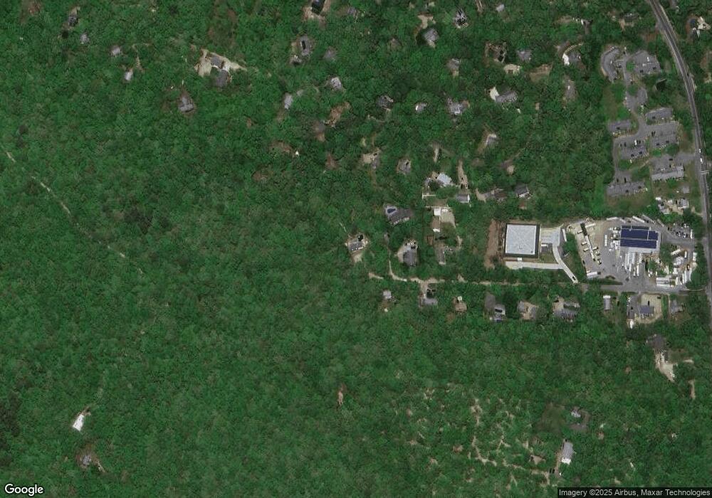
Map
Nearby Homes
- 169 Clover Hill Dr
- 12 Park Ave
- 12 Wheelhouse Way
- 56 Holmes Hole Rd Unit 10
- 56 Holmes Hole Rd
- 10 Putnam Way
- 51 Lantern Ln
- 27 Chapde Ln
- 0 Red Buoy Ln Unit Lot 147 32500278
- 50 Lantern Ln
- 147 Red Buoy Ln Unit 2.1
- 71 Stoney Hill Rd
- 385 Barnes Rd
- 249 State Rd
- 96 Dunham Ave
- 73 & 0 Old Country Ln
- 31 Lamberts Cove Rd
- 0 Barnes Rd Unit 32400334
- 0 Barnes Rd Unit 59 42701
- 5A2.12 State Rd
- 23 Wind Chime Ln
- 11 Wind Chime Ln
- 118 Carrolls Way
- 14 Mclellan Way
- 144 Clover Hill Dr
- 162 Clover Hill Dr
- 149 Clover Hill Dr
- 6 Mclellan Way
- 6 Mclellan Way
- 128 Clover Hill Dr
- 102 Carrolls Way
- 15 Mclellan Way
- 110 Clover Hill Dr
- 110 Clover Hill Dr Unit 1
- 104 Clover Hill Rd
- 104 Clover Hill Dr
- 170 Clover Hill Dr
- 0 Clover Hill Dr
- 157B Clover Hill Dr
- 100 Clover Hill Dr