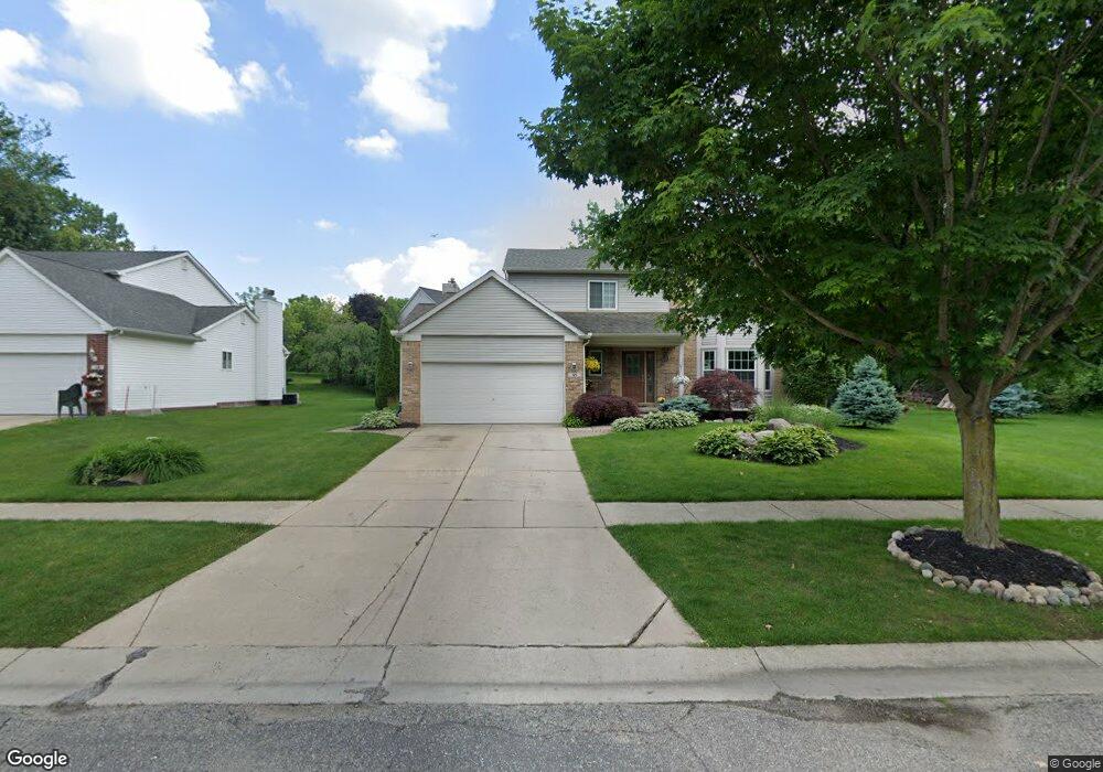
121 Chestnut Ridge Walled Lake, MI 48390
Estimated Value: $455,158 - $482,000
3
Beds
3
Baths
1,924
Sq Ft
$244/Sq Ft
Est. Value
About This Home
This home is located at 121 Chestnut Ridge, Walled Lake, MI 48390 and is currently estimated at $468,790, approximately $243 per square foot. 121 Chestnut Ridge is a home located in Oakland County with nearby schools including Walled Lake Elementary School, Sarah G. Banks Middle School, and Walled Lake Western High School.
Ownership History
Date
Name
Owned For
Owner Type
Purchase Details
Closed on
Dec 6, 2017
Sold by
Lariviere Mark and Lariviere Rita Kay
Bought by
Lariviere Mark F and Lariviere Rita K
Current Estimated Value
Purchase Details
Closed on
May 12, 1997
Sold by
Walled Lake Dev
Bought by
A J Van Oyen Builder Inc
Create a Home Valuation Report for This Property
The Home Valuation Report is an in-depth analysis detailing your home's value as well as a comparison with similar homes in the area
Home Values in the Area
Average Home Value in this Area
Purchase History
| Date | Buyer | Sale Price | Title Company |
|---|---|---|---|
| Lariviere Mark F | -- | None Available | |
| A J Van Oyen Builder Inc | $46,000 | -- |
Source: Public Records
Tax History Compared to Growth
Tax History
| Year | Tax Paid | Tax Assessment Tax Assessment Total Assessment is a certain percentage of the fair market value that is determined by local assessors to be the total taxable value of land and additions on the property. | Land | Improvement |
|---|---|---|---|---|
| 2024 | $4,416 | $197,600 | $0 | $0 |
| 2023 | $4,161 | $190,740 | $0 | $0 |
| 2022 | $4,147 | $171,710 | $0 | $0 |
| 2021 | $4,202 | $157,860 | $0 | $0 |
| 2020 | $4,012 | $148,330 | $0 | $0 |
| 2019 | $4,135 | $142,530 | $0 | $0 |
| 2018 | $4,127 | $137,540 | $0 | $0 |
| 2017 | $4,104 | $128,420 | $0 | $0 |
| 2016 | $4,101 | $122,810 | $0 | $0 |
| 2015 | -- | $113,630 | $0 | $0 |
| 2014 | -- | $95,300 | $0 | $0 |
| 2011 | -- | $97,740 | $0 | $0 |
Source: Public Records
Map
Nearby Homes
- 325 Glenwood Dr Unit 12
- 461 Alexander Dr
- 1640 High Pointe Dr
- 1249 Glenwood Ct
- 132 Copper Ridge Ct
- 1778 Addison Cir
- 1777 Addison Cir
- 44900 Bayview Dr Unit 21
- 855 S Pontiac Trail Unit A205
- 144 Coalmont St
- 895 S Pontiac Trail Unit 203
- 149 N Haven St
- 44847 Larkspur Unit 9
- 1900 S Lake Ct
- 16107 Addington Dr
- 27202 Chesapeake Cir Unit 320
- 24202 Chesapeake Cir Unit 287
- 420 Wellsboro St
- 1338 Andover Cir
- 1128 Andover Cir Unit 88
- 119 Chestnut Ridge
- 305 Ryan Ct
- 307 Ryan Ct
- 117 Chestnut Ridge
- 130 Chestnut Ridge
- 128 Chestnut Ridge
- 309 Ryan Ct
- 115 Chestnut Ridge
- 126 Chestnut Ridge
- 303 Ryan Ct
- 124 Chestnut Ridge
- 301 Ryan Ct
- 1580 High Pointe Dr Unit 14
- 113 Chestnut Ridge
- 45520 W Pontiac Trail
- 320 Alexander Dr
- 1590 High Pointe Dr
- 340 Alexander Dr Unit 40
- 525 Woodland Hills Dr Unit 8
- 120 Chestnut Ridge