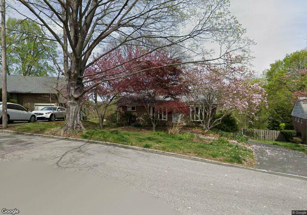
121 Cornell Rd Bala Cynwyd, PA 19004
Estimated Value: $738,073 - $861,000
3
Beds
3
Baths
1,744
Sq Ft
$457/Sq Ft
Est. Value
About This Home
This home is located at 121 Cornell Rd, Bala Cynwyd, PA 19004 and is currently estimated at $797,768, approximately $457 per square foot. 121 Cornell Rd is a home located in Montgomery County with nearby schools including Cynwyd School, Bala-Cynwyd Middle School, and Lower Merion High School.
Ownership History
Date
Name
Owned For
Owner Type
Purchase Details
Closed on
May 16, 2009
Sold by
Brown Kurt A and Gould Jane M
Bought by
Gillespie Avrum and Gin Rosalie
Current Estimated Value
Home Financials for this Owner
Home Financials are based on the most recent Mortgage that was taken out on this home.
Original Mortgage
$384,716
Outstanding Balance
$242,679
Interest Rate
4.82%
Estimated Equity
$555,089
Purchase Details
Closed on
Oct 26, 1995
Sold by
Rovner Frani Weinstock
Bought by
Brown Kurt A and Gould Jane M
Create a Home Valuation Report for This Property
The Home Valuation Report is an in-depth analysis detailing your home's value as well as a comparison with similar homes in the area
Home Values in the Area
Average Home Value in this Area
Purchase History
| Date | Buyer | Sale Price | Title Company |
|---|---|---|---|
| Gillespie Avrum | $398,000 | None Available | |
| Brown Kurt A | $215,000 | -- |
Source: Public Records
Mortgage History
| Date | Status | Borrower | Loan Amount |
|---|---|---|---|
| Open | Gillespie Avrum | $384,716 |
Source: Public Records
Tax History Compared to Growth
Tax History
| Year | Tax Paid | Tax Assessment Tax Assessment Total Assessment is a certain percentage of the fair market value that is determined by local assessors to be the total taxable value of land and additions on the property. | Land | Improvement |
|---|---|---|---|---|
| 2025 | $8,833 | $211,520 | $137,590 | $73,930 |
| 2024 | $8,833 | $211,520 | $137,590 | $73,930 |
| 2023 | $8,464 | $211,520 | $137,590 | $73,930 |
| 2022 | $8,308 | $211,520 | $137,590 | $73,930 |
| 2021 | $8,119 | $211,520 | $137,590 | $73,930 |
| 2020 | $7,921 | $211,520 | $137,590 | $73,930 |
| 2019 | $7,781 | $211,520 | $137,590 | $73,930 |
| 2018 | $7,781 | $211,520 | $137,590 | $73,930 |
| 2017 | $7,495 | $211,520 | $137,590 | $73,930 |
| 2016 | $7,413 | $211,520 | $137,590 | $73,930 |
| 2015 | $6,912 | $211,520 | $137,590 | $73,930 |
| 2014 | $6,912 | $211,520 | $137,590 | $73,930 |
Source: Public Records
Map
Nearby Homes
- 135 Cornell Rd
- 195 Belmont Ave
- 0 Penn Ave
- 717 Stradone Rd
- 116 E Princeton Rd
- 42 Madison Ave Unit 272
- 17 Jefferson St
- 19 Rock Hill Rd Unit 7-D
- 4523 Riverside Way
- 534 Ott Rd
- 138 Rockland Ave
- 51 Academy Rd
- 85 Price St
- 4584 Riverside Way
- 4586 Riverside Way
- 205 Ebenezer Ave
- 131 Carson St
- 4419 Baker St
- 317 Marywatersford Rd
- 220 Jefferson St
- 119 Cornell Rd
- 123 Cornell Rd
- 712 Belmont Terrace
- 117 Cornell Rd
- 125 Cornell Rd
- 708 Belmont Terrace
- 118 Cornell Rd
- 115 Cornell Rd
- 127 Cornell Rd
- 124 Cornell Rd
- 706 Belmont Terrace
- 114 Cornell Rd Unit 400
- 126 Cornell Rd
- 704 Belmont Terrace
- 113 Cornell Rd
- 129 Cornell Rd
- 240 Rock Hill Rd
- 711 Fordham Rd
- 232 Rock Hill Rd
- 232 Rock Hill Rd Unit 2