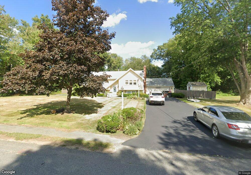
121 Country Rd Hanover, MA 02339
Estimated Value: $819,772 - $913,000
4
Beds
3
Baths
2,260
Sq Ft
$386/Sq Ft
Est. Value
About This Home
This home is located at 121 Country Rd, Hanover, MA 02339 and is currently estimated at $871,443, approximately $385 per square foot. 121 Country Rd is a home located in Plymouth County with nearby schools including Hanover High School, South Shore Charter Public School, and Norwell KinderCare.
Ownership History
Date
Name
Owned For
Owner Type
Purchase Details
Closed on
Feb 12, 2010
Sold by
Dallessandro Richard J and Dallessandro Normalee A
Bought by
Mccusker Matthew S and Mccusker Carol J
Current Estimated Value
Home Financials for this Owner
Home Financials are based on the most recent Mortgage that was taken out on this home.
Original Mortgage
$225,000
Outstanding Balance
$149,581
Interest Rate
5.12%
Mortgage Type
Purchase Money Mortgage
Estimated Equity
$721,862
Create a Home Valuation Report for This Property
The Home Valuation Report is an in-depth analysis detailing your home's value as well as a comparison with similar homes in the area
Home Values in the Area
Average Home Value in this Area
Purchase History
| Date | Buyer | Sale Price | Title Company |
|---|---|---|---|
| Mccusker Matthew S | $429,500 | -- |
Source: Public Records
Mortgage History
| Date | Status | Borrower | Loan Amount |
|---|---|---|---|
| Open | Mccusker Matthew S | $225,000 |
Source: Public Records
Tax History Compared to Growth
Tax History
| Year | Tax Paid | Tax Assessment Tax Assessment Total Assessment is a certain percentage of the fair market value that is determined by local assessors to be the total taxable value of land and additions on the property. | Land | Improvement |
|---|---|---|---|---|
| 2025 | $8,391 | $679,400 | $269,400 | $410,000 |
| 2024 | $8,215 | $639,800 | $269,400 | $370,400 |
| 2023 | $8,313 | $616,200 | $244,900 | $371,300 |
| 2022 | $8,394 | $550,400 | $244,900 | $305,500 |
| 2021 | $8,825 | $498,800 | $222,600 | $276,200 |
| 2020 | $8,692 | $494,200 | $222,600 | $271,600 |
| 2019 | $7,499 | $457,000 | $222,600 | $234,400 |
| 2018 | $7,368 | $452,600 | $222,600 | $230,000 |
| 2017 | $8,028 | $434,700 | $209,500 | $225,200 |
| 2016 | $7,009 | $415,700 | $190,500 | $225,200 |
| 2015 | $6,051 | $374,700 | $190,500 | $184,200 |
Source: Public Records
Map
Nearby Homes
- 118 Bates Way
- 70 Dillingham Way
- 216 Whiting St
- 1239 Main St
- 375 Webster St
- 120 Deerfield Ln
- 141 Deerfield Ln
- 276 Woodland Dr
- 80 Coolidge Rd
- 53 Chestnut St
- 206-208 Hinghm St
- 436 E Water St
- 354 Webster St
- 55 Turner Rd
- 18 Colby St
- 62 Larchmont Ln
- 8 Old Farm Rd
- 214 Washington St Unit 24
- 214 Washington St Unit 28
- 18 Midfield Dr
- 158 Hacketts Pond Dr
- 101 Country Rd
- 142 Hacketts Pond Dr
- 77 Country Rd
- 122 Country Rd
- 134 Country Rd
- 110 Country Rd
- 110 Country Rd
- 63 Country Rd
- 130 Hacketts Pond Dr
- 145 Hacketts Pond Dr
- 157 Hacketts Pond Dr
- 100 Country Rd
- 49 Country Rd
- 90 Country Rd
- 190 Hacketts Pond Dr
- 175 Hacketts Pond Dr
- 133 Hacketts Pond Dr
- 66 Country Rd
- 118 Hacketts Pond Dr