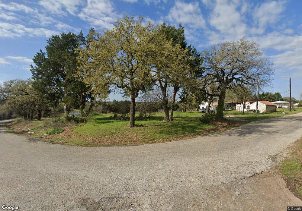
121 County Road 2140 Decatur, TX 76234
Estimated Value: $333,000 - $775,000
--
Bed
2
Baths
1,842
Sq Ft
$245/Sq Ft
Est. Value
About This Home
This home is located at 121 County Road 2140, Decatur, TX 76234 and is currently estimated at $450,601, approximately $244 per square foot. 121 County Road 2140 is a home located in Wise County with nearby schools including Decatur High School.
Ownership History
Date
Name
Owned For
Owner Type
Purchase Details
Closed on
Oct 20, 2005
Sold by
Taylor Terrance D and Skelton Whitney L
Bought by
Tanner Gary W
Current Estimated Value
Home Financials for this Owner
Home Financials are based on the most recent Mortgage that was taken out on this home.
Original Mortgage
$122,720
Outstanding Balance
$65,561
Interest Rate
5.73%
Mortgage Type
New Conventional
Estimated Equity
$385,040
Purchase Details
Closed on
Oct 7, 2004
Sold by
Young Cam Holding Ltd
Bought by
Tanner Gary
Purchase Details
Closed on
Aug 9, 2004
Sold by
King Loretta M
Bought by
Tanner Gary
Create a Home Valuation Report for This Property
The Home Valuation Report is an in-depth analysis detailing your home's value as well as a comparison with similar homes in the area
Home Values in the Area
Average Home Value in this Area
Purchase History
| Date | Buyer | Sale Price | Title Company |
|---|---|---|---|
| Tanner Gary W | -- | Fidelity National Title Agen | |
| Tanner Gary | -- | -- | |
| Tanner Gary | -- | -- |
Source: Public Records
Mortgage History
| Date | Status | Borrower | Loan Amount |
|---|---|---|---|
| Open | Tanner Gary W | $122,720 |
Source: Public Records
Tax History Compared to Growth
Tax History
| Year | Tax Paid | Tax Assessment Tax Assessment Total Assessment is a certain percentage of the fair market value that is determined by local assessors to be the total taxable value of land and additions on the property. | Land | Improvement |
|---|---|---|---|---|
| 2025 | $2,812 | $230,808 | $202,753 | $28,055 |
| 2024 | $2,812 | $230,904 | $202,753 | $28,151 |
| 2023 | $2,609 | $215,994 | $187,806 | $28,188 |
| 2022 | $2,770 | $180,507 | $165,247 | $15,260 |
| 2021 | $2,157 | $134,530 | $125,170 | $9,360 |
| 2020 | $1,969 | $122,050 | $112,660 | $9,390 |
| 2019 | $1,745 | $101,570 | $92,110 | $9,460 |
| 2018 | $3,800 | $214,240 | $72,280 | $141,960 |
| 2017 | $2,853 | $160,730 | $28,000 | $132,730 |
| 2016 | $2,640 | $156,720 | $23,990 | $132,730 |
| 2015 | -- | $139,590 | $20,990 | $118,600 |
| 2014 | -- | $139,590 | $20,990 | $118,600 |
Source: Public Records
Map
Nearby Homes
- 362 Decatur Cemetery Rd
- Lot 12 Cedar Springs Estates
- 114 Cemetery Rd
- 3092 N Trinity St
- 2811 N Trinity St
- 175 Quail Ridge Ct
- 165 Quail Ridge Ct
- 1952 Old Decatur Rd
- 918 Old Decatur Rd
- TBD E Hwy 380 Hwy
- 2270 County Road 2360
- 307 E Vernon St
- 114 Sondra Lin Blvd
- 903 N Miller St
- 802 N Church St
- 101 E Mulberry St
- 304 Cyndilu Ln
- 700 N Church St
- 602 N Cates St
- 302 E Ash St
- 160 County Road 2140
- 674 Cemetery Rd
- 658 Cemetery Rd
- 660 Cemetery Rd
- 662 Cemetery Rd
- 643 Cemetery Rd
- 652 Cemetery Rd
- 644 Cemetery Rd
- 644 Cemetery Rd
- 638 Cemetery Rd
- 788 Cemetery Rd
- 232 County Road 2140
- 232 County Road 2140
- 232 County Road 2140
- 626 Cemetery Rd
- 356 Cemetery Rd
- 614 Cemetery Rd
- 796 Decatur Cemetery Rd
- 831 Cemetery Rd
- 875 Cemetery Rd