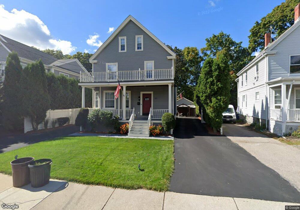
121 Crescent St Auburndale, MA 02466
Auburndale NeighborhoodEstimated Value: $1,414,902 - $2,171,000
4
Beds
2
Baths
2,519
Sq Ft
$712/Sq Ft
Est. Value
About This Home
This home is located at 121 Crescent St, Auburndale, MA 02466 and is currently estimated at $1,793,226, approximately $711 per square foot. 121 Crescent St is a home located in Middlesex County with nearby schools including Williams Elementary School, Charles E Brown Middle School, and Newton South High School.
Ownership History
Date
Name
Owned For
Owner Type
Purchase Details
Closed on
Jan 5, 1988
Sold by
Mcsheffrey Mary F
Bought by
Otoole Michael
Current Estimated Value
Create a Home Valuation Report for This Property
The Home Valuation Report is an in-depth analysis detailing your home's value as well as a comparison with similar homes in the area
Home Values in the Area
Average Home Value in this Area
Purchase History
| Date | Buyer | Sale Price | Title Company |
|---|---|---|---|
| Otoole Michael | $170,000 | -- |
Source: Public Records
Mortgage History
| Date | Status | Borrower | Loan Amount |
|---|---|---|---|
| Open | Otoole Michael | $50,000 | |
| Closed | Otoole Michael | $151,000 | |
| Closed | Otoole Michael | $20,000 |
Source: Public Records
Tax History
| Year | Tax Paid | Tax Assessment Tax Assessment Total Assessment is a certain percentage of the fair market value that is determined by local assessors to be the total taxable value of land and additions on the property. | Land | Improvement |
|---|---|---|---|---|
| 2025 | $11,677 | $1,191,500 | $839,300 | $352,200 |
| 2024 | $11,290 | $1,156,800 | $814,900 | $341,900 |
| 2023 | $10,550 | $1,036,300 | $617,800 | $418,500 |
| 2022 | $10,094 | $959,500 | $572,000 | $387,500 |
| 2021 | $8,990 | $905,200 | $539,600 | $365,600 |
| 2020 | $9,450 | $905,200 | $539,600 | $365,600 |
| 2019 | $9,183 | $878,800 | $523,900 | $354,900 |
| 2018 | $7,775 | $800,000 | $475,600 | $324,400 |
| 2017 | $8,392 | $754,700 | $448,700 | $306,000 |
| 2016 | $8,026 | $705,300 | $419,300 | $286,000 |
| 2015 | $7,653 | $659,200 | $391,900 | $267,300 |
Source: Public Records
Map
Nearby Homes
- 7 Sharon Ave Unit 7
- 1917 Commonwealth Ave Unit 1917
- 0 Duncan Rd Unit 72925240
- 194 Auburn St
- 194 Auburn St Unit 2
- 305 Webster St Unit 2
- 226 Auburn St Unit 226
- 27 Tennyson Rd
- 1754 Washington St
- 160 Pine St Unit 15
- 160 Pine St Unit 12
- 283 Melrose St
- 232 Melrose St Unit 2
- 17 Lasell St
- 40 Sewall St
- 10 Higgins St
- 26 Sewall St
- 383 Cherry St Unit 383
- 8 Elm St Unit 8
- 16 Elm St Unit 16
- 117 Crescent St
- 97 Auburn St
- 46 Sharon Ave
- 6 Sharon Ave
- 15 Normandy Rd
- 105 Auburn St
- 4 Sharon Ave Unit 4
- 4 Sharon Ave
- 99
- 11 Normandy Rd
- 85 Auburn St
- 19 Normandy Rd
- 16 Sharon Ave
- 16 Sharon Ave Unit 16
- 18 Sharon Ave Unit 18
- 120 Crescent St
- 116 Crescent St
- 109 Auburn St Unit 1
- 81 Auburn St Unit 83
- 108 Crescent St
Your Personal Tour Guide
Ask me questions while you tour the home.