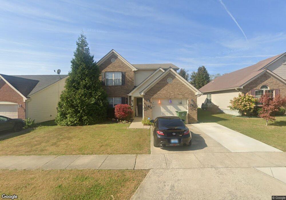
121 Dalton Rd Unit 88RC Georgetown, KY 40324
Southeast Scott County NeighborhoodEstimated Value: $294,031 - $322,000
3
Beds
3
Baths
1,693
Sq Ft
$182/Sq Ft
Est. Value
About This Home
This home is located at 121 Dalton Rd Unit 88RC, Georgetown, KY 40324 and is currently estimated at $307,508, approximately $181 per square foot. 121 Dalton Rd Unit 88RC is a home located in Scott County with nearby schools including Eastern Elementary School, Scott County Middle School, and Scott County High School.
Ownership History
Date
Name
Owned For
Owner Type
Purchase Details
Closed on
Oct 27, 2009
Sold by
Lake Crossing Llc
Bought by
Ledford Veronica N
Current Estimated Value
Home Financials for this Owner
Home Financials are based on the most recent Mortgage that was taken out on this home.
Original Mortgage
$145,860
Outstanding Balance
$93,883
Interest Rate
5.04%
Mortgage Type
New Conventional
Estimated Equity
$213,625
Create a Home Valuation Report for This Property
The Home Valuation Report is an in-depth analysis detailing your home's value as well as a comparison with similar homes in the area
Home Values in the Area
Average Home Value in this Area
Purchase History
| Date | Buyer | Sale Price | Title Company |
|---|---|---|---|
| Ledford Veronica N | $143,000 | None Available |
Source: Public Records
Mortgage History
| Date | Status | Borrower | Loan Amount |
|---|---|---|---|
| Open | Ledford Veronica N | $145,860 |
Source: Public Records
Tax History
| Year | Tax Paid | Tax Assessment Tax Assessment Total Assessment is a certain percentage of the fair market value that is determined by local assessors to be the total taxable value of land and additions on the property. | Land | Improvement |
|---|---|---|---|---|
| 2025 | $2,036 | $228,600 | $0 | $0 |
| 2024 | $1,975 | $219,600 | $0 | $0 |
| 2023 | $1,837 | $202,600 | $37,500 | $165,100 |
| 2022 | $1,688 | $198,500 | $35,000 | $163,500 |
| 2021 | $1,694 | $179,800 | $35,000 | $144,800 |
| 2020 | $1,473 | $171,400 | $35,000 | $136,400 |
| 2019 | $1,411 | $161,700 | $0 | $0 |
| 2018 | $1,337 | $154,100 | $0 | $0 |
| 2017 | $1,306 | $149,820 | $0 | $0 |
| 2016 | $1,179 | $146,438 | $0 | $0 |
| 2015 | $1,144 | $143,000 | $0 | $0 |
| 2014 | $1,186 | $143,000 | $0 | $0 |
| 2011 | $89 | $143,000 | $0 | $0 |
Source: Public Records
Map
Nearby Homes
- 140 Dalton Rd
- 191 Johnstone Trail
- 208 Johnstone Trail
- 206 Johnstone Trail
- 204 Johnstone Trail
- 105 Jennifer Dr
- 124 Thorndale Dr
- 144 Limestone Ln
- 139 Limestone Ln
- 115 Oxford Landing Dr
- 117 Oxford Landing Dr
- 124 Amick Way
- 118 Oxford Landing Dr
- The Sutton Bay Plan at Oxford Landing - Trend Collection
- The Granite Coast Plan at Oxford Landing - Trend Collection
- The Bayberry Lane Plan at Oxford Landing - Trend Collection
- The Balsam Springs Plan at Oxford Landing - Trend Collection
- The Newbury Cross Plan at Oxford Landing - Trend Collection
- The Laurel Square Plan at Oxford Landing - Trend Collection
- The Beacon Falls Plan at Oxford Landing - Trend Collection
- 121 Dalton Rd
- 123 Dalton Rd
- 119 Dalton Rd
- 125 Dalton Rd
- 117 Dalton Rd
- 77 Brookford Way
- 79 Brookford Way
- 75 Brookford Way
- 81 Brookford Way
- 115 Dalton Rd
- 73 Brookford Way
- 127 Dalton Rd
- 120 Dalton Rd
- 122 Dalton Rd
- 116 Dalton Rd
- 83 Brookford Way
- 67 Brookford Way
- 113 Dalton Rd
- 114 Dalton Rd
- 124 Dalton Rd
Your Personal Tour Guide
Ask me questions while you tour the home.