121 Daniels Rd Surrency, GA 31563
Estimated Value: $194,237 - $342,000
3
Beds
2
Baths
2,358
Sq Ft
$122/Sq Ft
Est. Value
About This Home
This home is located at 121 Daniels Rd, Surrency, GA 31563 and is currently estimated at $288,059, approximately $122 per square foot. 121 Daniels Rd is a home located in Appling County.
Ownership History
Date
Name
Owned For
Owner Type
Purchase Details
Closed on
Aug 20, 2008
Sold by
Tillman Darrick Allen
Bought by
Tillman Darrick Allen and Tillman Linsey Walker
Current Estimated Value
Purchase Details
Closed on
Dec 12, 2007
Sold by
Tillman L Doyle
Bought by
Tillman Darrick Allen
Purchase Details
Closed on
May 25, 2007
Sold by
Tillman Landry Allen
Bought by
Jones Derek and Jones Alisha E
Home Financials for this Owner
Home Financials are based on the most recent Mortgage that was taken out on this home.
Original Mortgage
$140,175
Outstanding Balance
$83,535
Interest Rate
6.16%
Mortgage Type
New Conventional
Estimated Equity
$204,524
Purchase Details
Closed on
Apr 16, 1997
Bought by
Tillman Landry A
Create a Home Valuation Report for This Property
The Home Valuation Report is an in-depth analysis detailing your home's value as well as a comparison with similar homes in the area
Purchase History
| Date | Buyer | Sale Price | Title Company |
|---|---|---|---|
| Tillman Darrick Allen | -- | -- | |
| Tillman Darrick Allen | -- | -- | |
| Tillman Darrick Allen | -- | -- | |
| Jones Derek | $125,000 | -- | |
| Tillman Landry A | -- | -- |
Source: Public Records
Mortgage History
| Date | Status | Borrower | Loan Amount |
|---|---|---|---|
| Open | Jones Derek | $140,175 |
Source: Public Records
Tax History
| Year | Tax Paid | Tax Assessment Tax Assessment Total Assessment is a certain percentage of the fair market value that is determined by local assessors to be the total taxable value of land and additions on the property. | Land | Improvement |
|---|---|---|---|---|
| 2025 | $1,936 | $85,360 | $1,960 | $83,400 |
| 2024 | $1,936 | $53,414 | $800 | $52,614 |
| 2023 | $1,312 | $53,416 | $802 | $52,614 |
| 2022 | $1,196 | $46,316 | $802 | $45,514 |
| 2021 | $1,196 | $46,316 | $802 | $45,514 |
| 2020 | $1,242 | $46,316 | $802 | $45,514 |
| 2019 | $1,266 | $46,316 | $802 | $45,514 |
| 2018 | $1,235 | $44,344 | $802 | $43,542 |
| 2017 | $1,235 | $44,344 | $802 | $43,542 |
| 2016 | $1,235 | $44,344 | $802 | $43,542 |
| 2015 | $1,237 | $44,343 | $802 | $43,542 |
| 2014 | $1,239 | $44,344 | $802 | $43,542 |
| 2013 | -- | $44,343 | $801 | $43,542 |
Source: Public Records
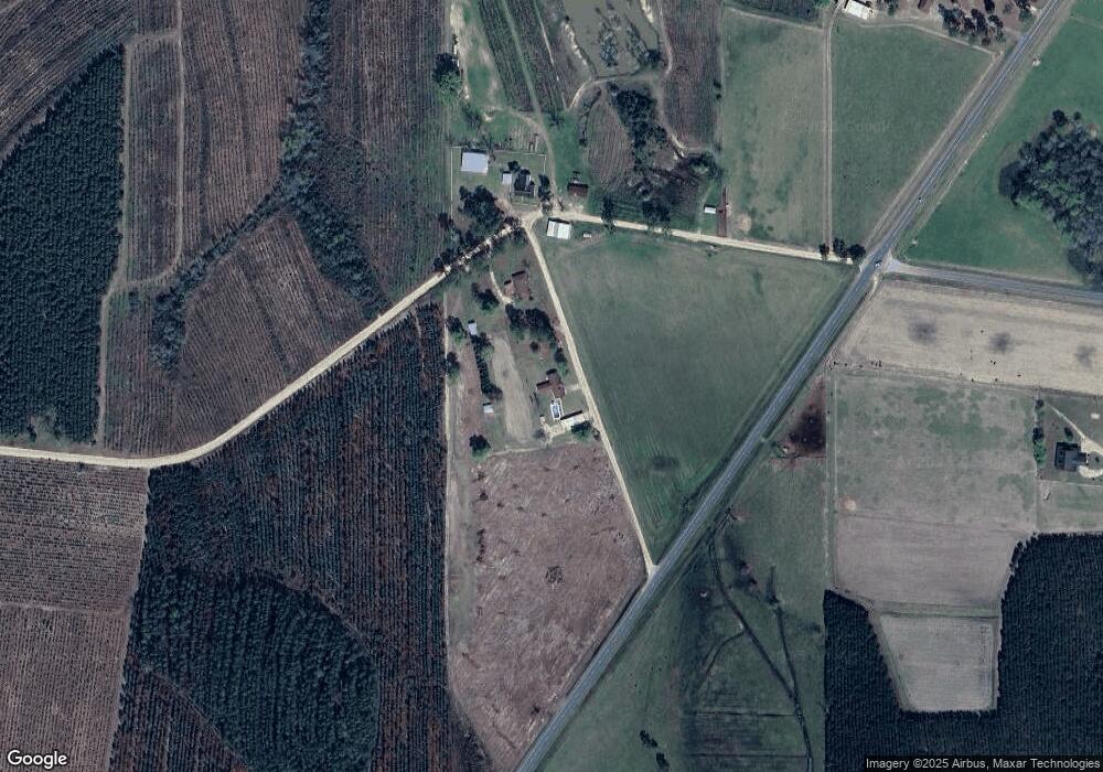
Map
Nearby Homes
- Tract 4 Brentwood Rd
- 286 Carter Bight Landing Rd
- 2286 Carter Bight Landing Rd
- 315 Getaway Ln
- 965 Oquinn Loop
- 0 O'Quinn Loop
- TRACT 5 Morris Break Rd
- 0 Eagles Point (Lot 12) Unit 23776
- 0 Eagles Point (Lot 11) Unit 23775
- 0 Eagles Point (Lot 8) Unit 23774
- 0 Eagles Point Unit LOT 8
- 0 Eagles Point Unit LOT 12
- 0 Eagles Point Unit LOT 11
- 1564 Eagles Point
- 0 Oquinn Loop
- 0 Lee Woods Rd Unit 18062646
- 0 Brentwood Rd
- 3293 Bennett Mill Pond Rd
- 0 Lee Woods Rd Unit 11355226
- Tract 5 Unit Morris Break Road
Your Personal Tour Guide
Ask me questions while you tour the home.