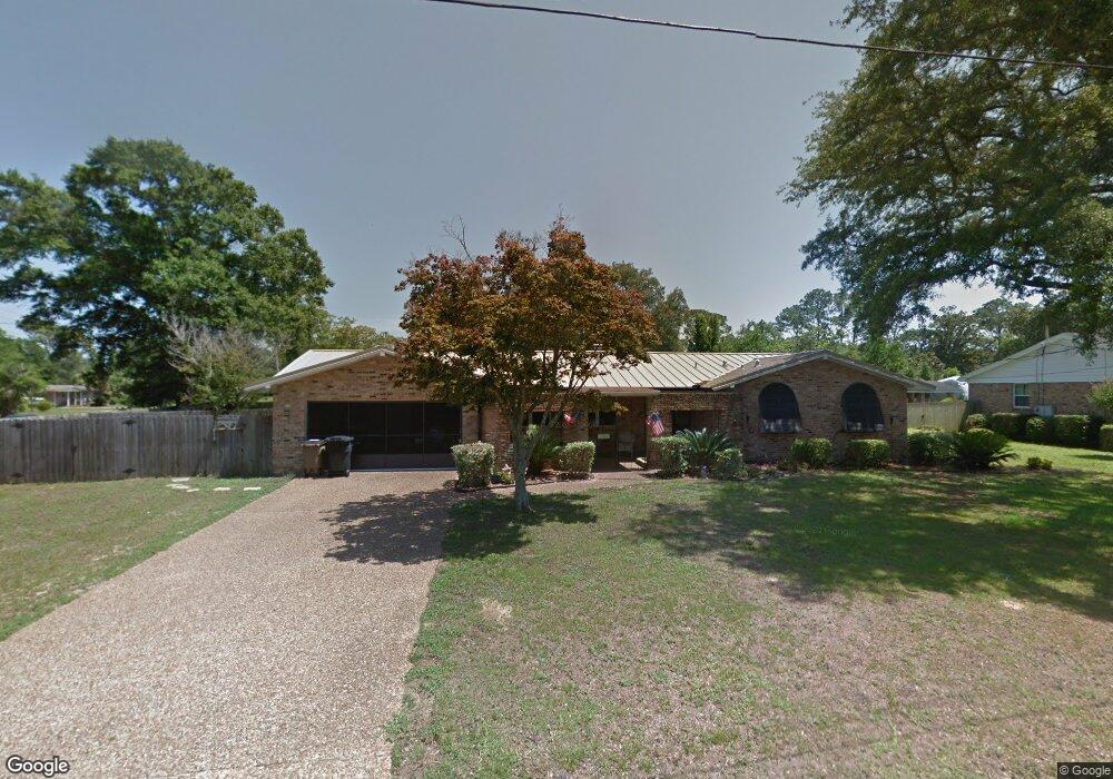
121 Dean Rd Pensacola, FL 32503
Estimated Value: $364,000 - $427,000
--
Bed
2
Baths
1,583
Sq Ft
$257/Sq Ft
Est. Value
About This Home
This home is located at 121 Dean Rd, Pensacola, FL 32503 and is currently estimated at $406,197, approximately $256 per square foot. 121 Dean Rd is a home located in Escambia County with nearby schools including Cordova Park Elementary School, J.H. Workman Middle School, and Booker T. Washington High School.
Ownership History
Date
Name
Owned For
Owner Type
Purchase Details
Closed on
Mar 14, 2006
Sold by
Burns D Sean and Burns Lisa
Bought by
Patterson Brent R and Patterson Constance M
Current Estimated Value
Purchase Details
Closed on
Dec 30, 2004
Sold by
Mcdonald Hazel B
Bought by
Burns D Sean and Burns Lisa
Home Financials for this Owner
Home Financials are based on the most recent Mortgage that was taken out on this home.
Original Mortgage
$137,750
Interest Rate
5.66%
Mortgage Type
Purchase Money Mortgage
Create a Home Valuation Report for This Property
The Home Valuation Report is an in-depth analysis detailing your home's value as well as a comparison with similar homes in the area
Home Values in the Area
Average Home Value in this Area
Purchase History
| Date | Buyer | Sale Price | Title Company |
|---|---|---|---|
| Patterson Brent R | $224,900 | -- | |
| Burns D Sean | $145,000 | -- |
Source: Public Records
Mortgage History
| Date | Status | Borrower | Loan Amount |
|---|---|---|---|
| Previous Owner | Burns D Sean | $137,750 |
Source: Public Records
Tax History Compared to Growth
Tax History
| Year | Tax Paid | Tax Assessment Tax Assessment Total Assessment is a certain percentage of the fair market value that is determined by local assessors to be the total taxable value of land and additions on the property. | Land | Improvement |
|---|---|---|---|---|
| 2024 | $2,084 | $168,567 | -- | -- |
| 2023 | $2,084 | $163,658 | $0 | $0 |
| 2022 | $2,097 | $158,892 | $0 | $0 |
| 2021 | $2,069 | $154,265 | $0 | $0 |
| 2020 | $2,009 | $152,136 | $0 | $0 |
| 2019 | $1,965 | $148,716 | $0 | $0 |
| 2018 | $1,951 | $145,944 | $0 | $0 |
| 2017 | $1,934 | $142,943 | $0 | $0 |
| 2016 | $1,909 | $140,003 | $0 | $0 |
| 2015 | $1,919 | $139,030 | $0 | $0 |
| 2014 | $1,916 | $137,927 | $0 | $0 |
Source: Public Records
Map
Nearby Homes
- 243 Dean Rd
- 1920 Hallmark Dr
- 1072 Gerhardt Dr
- 835 Tanglewood Dr
- 3847 Dunwoody Dr
- 4090 Dunwoody Dr
- 2021 Morningside Dr
- 4160 Piedmont Rd
- 2005 Peyton Dr
- 1826 Peyton Dr
- 1859 Summit Blvd
- 2045 Summit Blvd
- 1280 Stow Ave
- 2145 Summit Blvd
- 4150 Menendez Dr
- 111 Euclid St
- 1008 Stormy Terrace
- 3746 Gerhardt Dr
- 4241 Ellison Place
- 4140 Fern Ct
- 3761 Bayou Blvd
- 151 Dean Rd
- 930 Gerhardt Dr
- 3831 Bayou Blvd
- 180 Dean Rd
- 3745 Bayou Blvd
- 880 Gerhardt Dr
- 3780 Bayou Blvd
- 3760 Bayou Blvd
- 3810 Bayou Blvd
- 221 Dean Rd
- 3851 Bayou Blvd
- 1012 Gerhardt Dr
- 3746 Bayou Blvd
- 931 Gerhardt Dr
- 860 Gerhardt Dr
- 3830 Bayou Blvd
- 220 Dean Rd
- 3731 Bayou Blvd
- 1921 Hallmark Dr