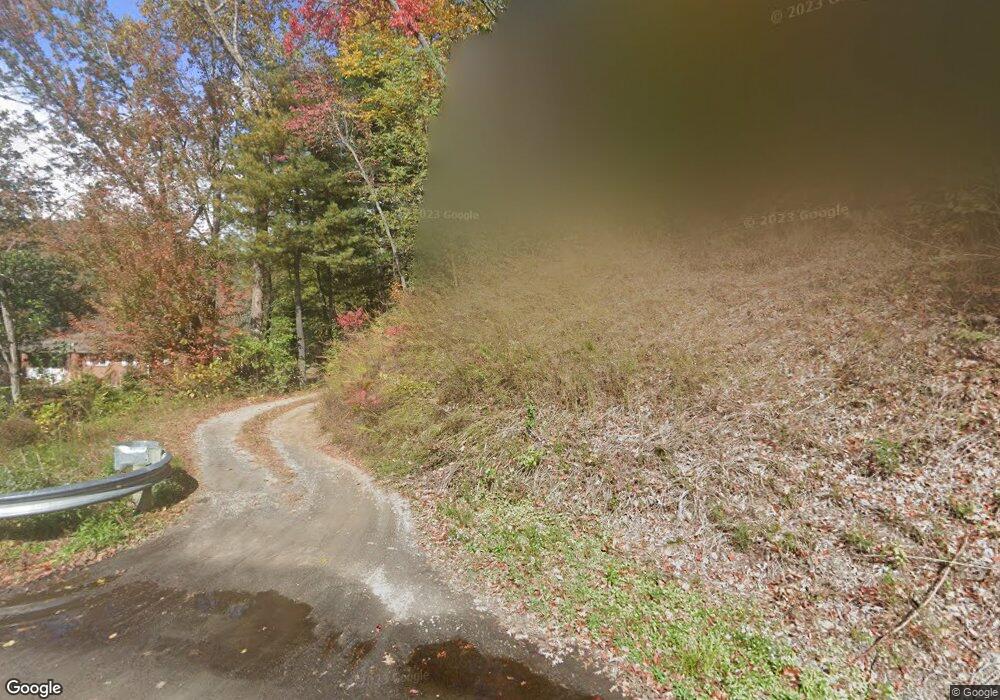
121 Deavor Rd Pisgah Forest, NC 28768
Estimated Value: $326,000 - $425,000
3
Beds
2
Baths
1,620
Sq Ft
$226/Sq Ft
Est. Value
About This Home
This home is located at 121 Deavor Rd, Pisgah Forest, NC 28768 and is currently estimated at $365,735, approximately $225 per square foot. 121 Deavor Rd is a home located in Transylvania County with nearby schools including Brevard Academy and Anchor Baptist Academy.
Ownership History
Date
Name
Owned For
Owner Type
Purchase Details
Closed on
Jul 21, 2021
Sold by
Bowden Barry F and Bowden Diane B
Bought by
Bowden Don Eugene and Bowden Venita Marie
Current Estimated Value
Home Financials for this Owner
Home Financials are based on the most recent Mortgage that was taken out on this home.
Original Mortgage
$200,000
Outstanding Balance
$123,781
Interest Rate
2.96%
Mortgage Type
Seller Take Back
Estimated Equity
$241,954
Create a Home Valuation Report for This Property
The Home Valuation Report is an in-depth analysis detailing your home's value as well as a comparison with similar homes in the area
Home Values in the Area
Average Home Value in this Area
Purchase History
| Date | Buyer | Sale Price | Title Company |
|---|---|---|---|
| Bowden Don Eugene | $200,000 | None Available |
Source: Public Records
Mortgage History
| Date | Status | Borrower | Loan Amount |
|---|---|---|---|
| Open | Bowden Don Eugene | $200,000 |
Source: Public Records
Tax History Compared to Growth
Tax History
| Year | Tax Paid | Tax Assessment Tax Assessment Total Assessment is a certain percentage of the fair market value that is determined by local assessors to be the total taxable value of land and additions on the property. | Land | Improvement |
|---|---|---|---|---|
| 2025 | $1,623 | $337,700 | $87,610 | $250,090 |
| 2024 | $1,473 | $223,770 | $80,750 | $143,020 |
| 2023 | $1,473 | $223,770 | $80,750 | $143,020 |
| 2022 | $1,473 | $225,420 | $82,400 | $143,020 |
| 2021 | $1,473 | $223,770 | $80,750 | $143,020 |
| 2020 | $1,028 | $147,740 | $0 | $0 |
| 2019 | $1,021 | $147,740 | $0 | $0 |
| 2018 | $836 | $147,740 | $0 | $0 |
| 2017 | $838 | $147,740 | $0 | $0 |
| 2016 | $815 | $147,740 | $0 | $0 |
| 2015 | -- | $155,750 | $59,600 | $96,150 |
| 2014 | -- | $155,750 | $59,600 | $96,150 |
Source: Public Records
Map
Nearby Homes
- 200 Riley Ln
- ACROSS 675 Kayla West Dr W Unit MHP, 9 UNITS
- 35&61 Ahava Rd
- 71 Laurel Mountain Rd
- 54 Hillside Heights
- 1019 Hudlin Gap Rd
- 15 1st St
- 57 Big Branch Rd
- TBD NorMcOl Rd
- 160 Tanglewood Heights
- 398 NorMcOl Dr
- 226 Pisgah Dr
- 4040 Asheville Hwy
- 788 Old Nc 280
- 176 Pisgah Dr
- TBD Asheville Hwy
- 55 Locust Ln
- SH11 Springhouse Trail
- Upper Camptown Rd Unit M106
- Upper Camptown Rd Unit M110
- TBD Deavor Rd
- 183 E Edwards Rd
- TDB N Carolina 280
- 0 N Carolina 280
- 9999 Asheville Hwy
- 99999 Asheville Hwy
- 2803 N Carolina 280
- 2786 Asheville Hwy
- 2738 Asheville Hwy
- 2820 Asheville Hwy
- 2840 Asheville Hwy
- 2766 Asheville Hwy
- 2686 Asheville Hwy
- 2730 Asheville Hwy
- 81 Azalea Hillside Cir
- 2856 Asheville Hwy
- 2861 Asheville Hwy
- 3144 Asheville Hwy
- 198 Deavor Rd
- 2726 Asheville Hwy