Estimated Value: $458,462 - $500,000
3
Beds
2
Baths
1,641
Sq Ft
$292/Sq Ft
Est. Value
About This Home
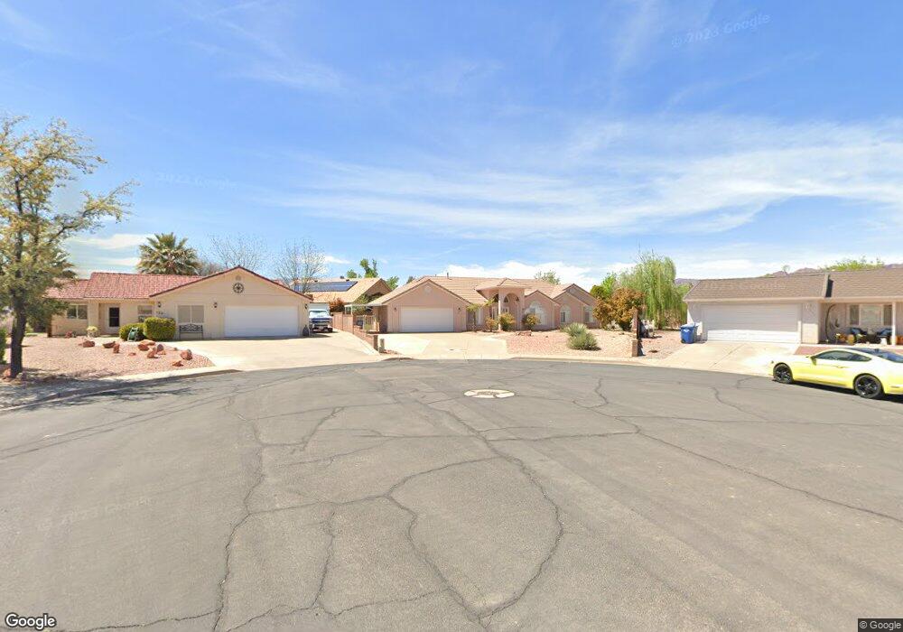
This home is located at 121 E 670 South Cir, Ivins, UT 84738 and is currently estimated at $478,866, approximately $291 per square foot. 121 E 670 South Cir is a home located in Washington County with nearby schools including Snow Canyon Middle School, Lava Ridge Intermediate School, and Snow Canyon High School.
Ownership History
Date
Name
Owned For
Owner Type
Purchase Details
Closed on
Dec 2, 2024
Sold by
Daniel D Rockvam Living Trust and Arthur Van Beuning Living Trust
Bought by
Daniel Rockvam Revocable Trust and Rockvam
Current Estimated Value
Purchase Details
Closed on
Oct 10, 2024
Sold by
Daniel D Rockvam Living Trust and Rockvam Daniel D
Bought by
Daniel Rockvam Revocable Trust and Rockvam
Create a Home Valuation Report for This Property
The Home Valuation Report is an in-depth analysis detailing your home's value as well as a comparison with similar homes in the area
Home Values in the Area
Average Home Value in this Area
Purchase History
| Date | Buyer | Sale Price | Title Company |
|---|---|---|---|
| Daniel Rockvam Revocable Trust | -- | None Listed On Document | |
| Daniel Rockvam Revocable Trust | -- | None Listed On Document |
Source: Public Records
Tax History Compared to Growth
Tax History
| Year | Tax Paid | Tax Assessment Tax Assessment Total Assessment is a certain percentage of the fair market value that is determined by local assessors to be the total taxable value of land and additions on the property. | Land | Improvement |
|---|---|---|---|---|
| 2025 | $1,686 | $248,985 | $74,250 | $174,735 |
| 2023 | $1,758 | $257,565 | $63,250 | $194,315 |
| 2022 | $1,786 | $246,400 | $57,750 | $188,650 |
| 2021 | $1,651 | $338,300 | $70,000 | $268,300 |
| 2020 | $1,425 | $276,400 | $65,000 | $211,400 |
| 2019 | $1,458 | $276,600 | $50,000 | $226,600 |
| 2018 | $1,372 | $130,295 | $0 | $0 |
| 2017 | $1,278 | $121,330 | $0 | $0 |
| 2016 | $1,358 | $119,075 | $0 | $0 |
| 2015 | $1,351 | $114,070 | $0 | $0 |
| 2014 | $1,221 | $103,565 | $0 | $0 |
Source: Public Records
Map
Nearby Homes
- 699 S 160 E
- 76 E 725 S
- 29 W Serenity Cir
- 37 W Serenity Cir
- 562 S Harmony Cir
- 668 S 315 E Unit 45
- 305 E 650 S
- 319 E 710 S
- 515 S 250 E
- 270 E 855 S
- 927 S 170 E
- 191 W 685 S
- 343 E 500 S
- 576 S Fiesta Dr
- 544 S Fiesta Dr
- 133 E Terrace
- 133 Terrace Ln
- 147 Terrace Ln
- 712 S 230 W Unit 15
- 690 S 230 W Unit (lot 18)
- 125 E 670 South Cir
- 95 E 675 S
- 125 E 670 Cir S
- 122 E 670 South Cir
- 128 E 625 South Cir
- 91 E 675 S
- 128 E 625 South Cir
- 126 E 670 South Cir
- 137 E 670 South Cir
- 94 E 675 S
- 643 S 75 E
- 124 E 625 South Cir
- 72 E 640 S
- 138 E 670 South Cir
- 138 E 670 Cir S
- 136 E 625 South Cir
- 136 E 625 Cir S
- 83 E 675 S
- 123 E 710 Cir S
- 123 E 710 South Cir