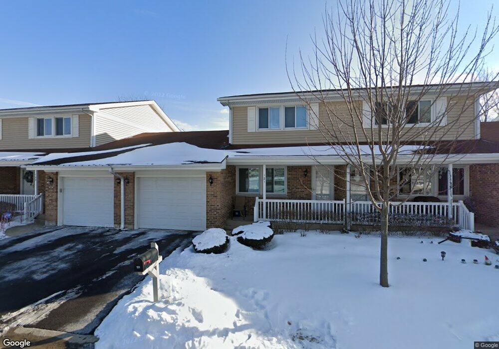
121 E Beech Dr Schaumburg, IL 60193
East Schaumburg NeighborhoodEstimated Value: $306,000 - $333,000
2
Beds
2
Baths
1,324
Sq Ft
$241/Sq Ft
Est. Value
About This Home
This home is located at 121 E Beech Dr, Schaumburg, IL 60193 and is currently estimated at $318,755, approximately $240 per square foot. 121 E Beech Dr is a home located in Cook County with nearby schools including Michael Collins Elementary School, Robert Frost Junior High School, and J B Conant High School.
Ownership History
Date
Name
Owned For
Owner Type
Purchase Details
Closed on
Jun 22, 2005
Sold by
Vinson Kathleen A
Bought by
Anguelov Parvan and Dimova Irena
Current Estimated Value
Home Financials for this Owner
Home Financials are based on the most recent Mortgage that was taken out on this home.
Original Mortgage
$175,000
Outstanding Balance
$89,190
Interest Rate
5.69%
Mortgage Type
Fannie Mae Freddie Mac
Estimated Equity
$229,565
Create a Home Valuation Report for This Property
The Home Valuation Report is an in-depth analysis detailing your home's value as well as a comparison with similar homes in the area
Home Values in the Area
Average Home Value in this Area
Purchase History
| Date | Buyer | Sale Price | Title Company |
|---|---|---|---|
| Anguelov Parvan | $255,000 | Multiple |
Source: Public Records
Mortgage History
| Date | Status | Borrower | Loan Amount |
|---|---|---|---|
| Open | Anguelov Parvan | $175,000 |
Source: Public Records
Tax History
| Year | Tax Paid | Tax Assessment Tax Assessment Total Assessment is a certain percentage of the fair market value that is determined by local assessors to be the total taxable value of land and additions on the property. | Land | Improvement |
|---|---|---|---|---|
| 2025 | $6,119 | $27,000 | $3,715 | $23,285 |
| 2024 | $6,119 | $21,846 | $4,001 | $17,845 |
| 2023 | $5,005 | $21,846 | $4,001 | $17,845 |
| 2022 | $5,005 | $21,846 | $4,001 | $17,845 |
| 2021 | $4,762 | $19,041 | $1,335 | $17,706 |
| 2020 | $4,748 | $19,041 | $1,335 | $17,706 |
| 2019 | $4,752 | $21,157 | $1,335 | $19,822 |
| 2018 | $4,114 | $17,142 | $1,102 | $16,040 |
| 2017 | $4,066 | $17,142 | $1,102 | $16,040 |
| 2016 | $4,045 | $17,142 | $1,102 | $16,040 |
| 2015 | $4,779 | $18,599 | $928 | $17,671 |
| 2014 | $4,743 | $18,599 | $928 | $17,671 |
| 2013 | $4,604 | $18,599 | $928 | $17,671 |
Source: Public Records
Map
Nearby Homes
- 98 Wiltshire Ct
- 168 Farmgate Dr
- 220 S Roselle Rd Unit 224
- 21 Superior Ct Unit N2
- 25 Superior Ct Unit L2
- 125 Cleveland Ct Unit M2
- 5 Illinois Ave
- 552 Stone Gate Cir
- 321 Carmelhead Ln
- 605 Limerick Ln Unit 2B
- 614 Tralee Ct Unit 2-C
- 26 Waterbury Ln Unit N2
- 631 Derry Ct Unit 1B
- 631 Derry Ct Unit 3C
- 631 Derry Ct Unit 2C
- 10 Waterbury Ln Unit M2
- 132 Wolcott Ct Unit M1
- 733 Limerick Ln Unit 7333D
- 635 Limerick Ln Unit 2B
- 701 Limerick Ln Unit 3B
Your Personal Tour Guide
Ask me questions while you tour the home.