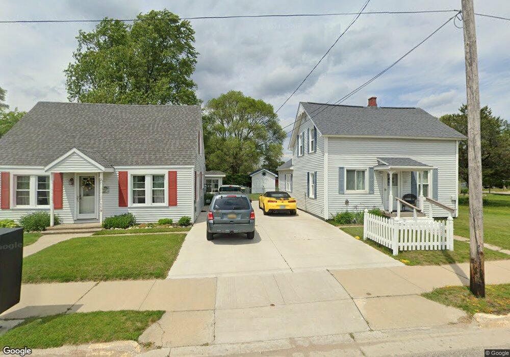
121 E Michigan Ave Oscoda, MI 48750
Estimated Value: $144,760 - $197,000
4
Beds
1
Bath
1,271
Sq Ft
$139/Sq Ft
Est. Value
About This Home
This home is located at 121 E Michigan Ave, Oscoda, MI 48750 and is currently estimated at $176,940, approximately $139 per square foot. 121 E Michigan Ave is a home located in Iosco County with nearby schools including Richardson Elementary School and Oscoda Area High School.
Ownership History
Date
Name
Owned For
Owner Type
Purchase Details
Closed on
Aug 7, 2018
Sold by
Thompson Kathleen M and Thompson Michael K
Bought by
Rader Cheryl L
Current Estimated Value
Home Financials for this Owner
Home Financials are based on the most recent Mortgage that was taken out on this home.
Original Mortgage
$88,350
Outstanding Balance
$76,728
Interest Rate
4.5%
Mortgage Type
Unknown
Estimated Equity
$100,212
Purchase Details
Closed on
Mar 28, 2008
Sold by
Thompson Kathleen M
Bought by
Thompspn Kathleen M and Thompson Michael K
Purchase Details
Closed on
Oct 3, 2007
Sold by
Beck Larry and Beck Larry A
Bought by
Thompson Kathleen M
Home Financials for this Owner
Home Financials are based on the most recent Mortgage that was taken out on this home.
Original Mortgage
$86,150
Interest Rate
6.5%
Create a Home Valuation Report for This Property
The Home Valuation Report is an in-depth analysis detailing your home's value as well as a comparison with similar homes in the area
Home Values in the Area
Average Home Value in this Area
Purchase History
| Date | Buyer | Sale Price | Title Company |
|---|---|---|---|
| Rader Cheryl L | $93,000 | -- | |
| Thompspn Kathleen M | -- | -- | |
| Thompson Kathleen M | $90,700 | -- |
Source: Public Records
Mortgage History
| Date | Status | Borrower | Loan Amount |
|---|---|---|---|
| Open | Rader Cheryl L | $88,350 | |
| Previous Owner | Thompson Kathleen M | $86,150 |
Source: Public Records
Tax History
| Year | Tax Paid | Tax Assessment Tax Assessment Total Assessment is a certain percentage of the fair market value that is determined by local assessors to be the total taxable value of land and additions on the property. | Land | Improvement |
|---|---|---|---|---|
| 2025 | $503 | $58,000 | $58,000 | $0 |
| 2024 | $858 | $50,900 | $0 | $0 |
| 2023 | $419 | $41,500 | $41,500 | $0 |
| 2022 | $792 | $33,000 | $33,000 | $0 |
| 2021 | $766 | $31,900 | $31,900 | $0 |
| 2020 | $738 | $30,200 | $30,200 | $0 |
| 2019 | $732 | $29,500 | $29,500 | $0 |
| 2018 | $1,268 | $31,700 | $31,700 | $0 |
| 2017 | $1,119 | $33,700 | $33,700 | $0 |
| 2016 | $1,091 | $33,700 | $0 | $0 |
| 2015 | -- | $31,800 | $0 | $0 |
| 2014 | -- | $26,800 | $0 | $0 |
| 2013 | -- | $28,100 | $0 | $0 |
Source: Public Records
Map
Nearby Homes
- 411 Ottawa Dr
- 134 Harbor St
- 891 S State St
- #26 Appletree Trail
- #49 Appletree Trail
- #21 Meadow Ln
- #25 Appletree Trail
- Vl Vaughan Trail
- #46 Vaughan Trail
- #48 Vaughan Trail
- #3 Vaughan Trail
- #20 Vaughan Trail
- VL Vaughan Trail
- #18 Vaughan Trail
- #1 Vaughan Trail
- #16 Vaughan Trail
- #13 Vaughan Trail
- #17 Vaughan Trail
- #47 Vaughan Trail
- 0 Vl Vaughn Trail
- 119 E Michigan Ave
- 209 N Lake St
- 115 E Michigan Ave
- 111 E Michigan Ave
- 120 E Bank Ave
- 215 N Lake St
- 118 E Bank Ave
- 208 N Lake St
- 208 N Lake St
- 214 N Lake St
- 210 N Lake St
- 200 N State St
- 217 E Michigan Ave
- 216 S U S 23
- 200 N State Street Us-23 Unit 5&6
- 214 E Bank Ave
- 114 N Lake St
- 219 E Michigan Ave
- 430 N State St
- 216 E Bank Ave
Your Personal Tour Guide
Ask me questions while you tour the home.