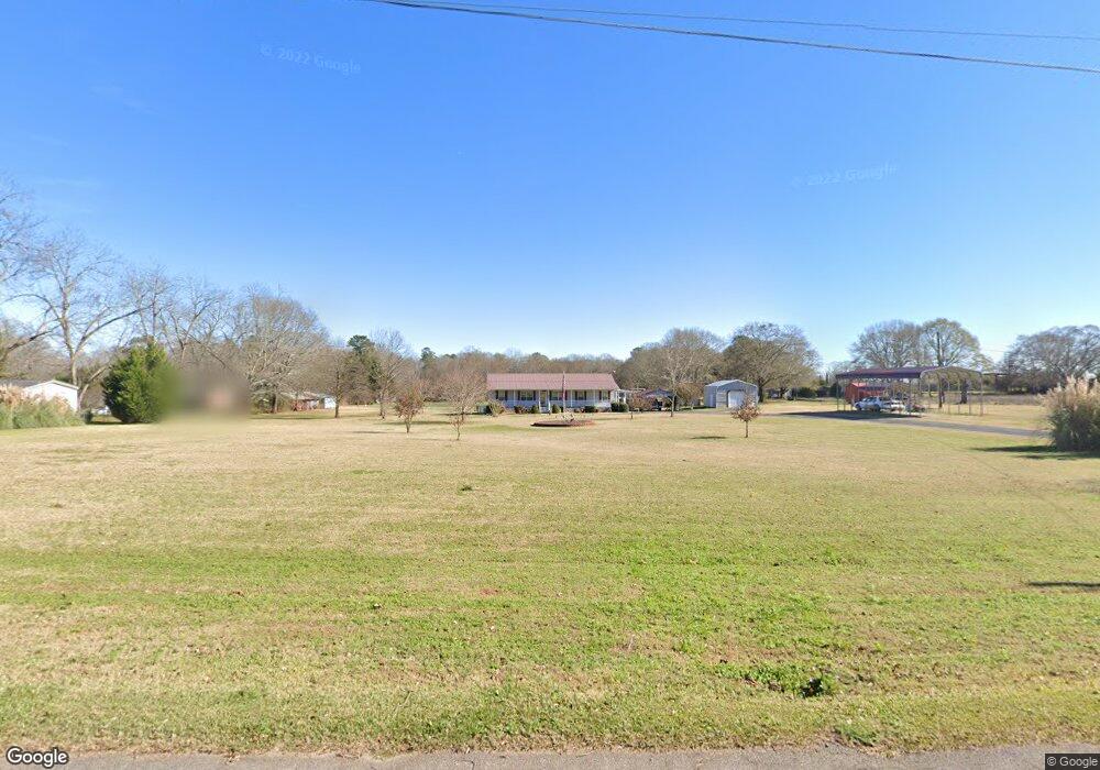
121 Edwards Rd Yatesville, GA 31097
Estimated Value: $288,000 - $304,000
3
Beds
2
Baths
1,708
Sq Ft
$174/Sq Ft
Est. Value
About This Home
This home is located at 121 Edwards Rd, Yatesville, GA 31097 and is currently estimated at $296,451, approximately $173 per square foot. 121 Edwards Rd is a home located in Upson County with nearby schools including Upson-Lee South Elementary School, Upson-Lee North Elementary School, and Upson-Lee Middle School.
Ownership History
Date
Name
Owned For
Owner Type
Purchase Details
Closed on
Sep 28, 2017
Sold by
Long Sheila W
Bought by
Long Joe D
Current Estimated Value
Purchase Details
Closed on
Apr 20, 2016
Sold by
Long Joe D
Bought by
Long Joe D and Long Shelia W
Home Financials for this Owner
Home Financials are based on the most recent Mortgage that was taken out on this home.
Original Mortgage
$125,681
Interest Rate
3.87%
Mortgage Type
FHA
Purchase Details
Closed on
Jul 8, 2005
Sold by
Wall Erik B
Bought by
Williams Geraldine and Walter Pugh V
Create a Home Valuation Report for This Property
The Home Valuation Report is an in-depth analysis detailing your home's value as well as a comparison with similar homes in the area
Home Values in the Area
Average Home Value in this Area
Purchase History
| Date | Buyer | Sale Price | Title Company |
|---|---|---|---|
| Long Joe D | -- | -- | |
| Long Joe D | -- | -- | |
| Long Joe D | $128,000 | -- | |
| Williams Geraldine | $31,000 | -- |
Source: Public Records
Mortgage History
| Date | Status | Borrower | Loan Amount |
|---|---|---|---|
| Previous Owner | Long Joe D | $125,681 |
Source: Public Records
Tax History Compared to Growth
Tax History
| Year | Tax Paid | Tax Assessment Tax Assessment Total Assessment is a certain percentage of the fair market value that is determined by local assessors to be the total taxable value of land and additions on the property. | Land | Improvement |
|---|---|---|---|---|
| 2024 | $1,726 | $76,904 | $5,688 | $71,216 |
| 2023 | $1,691 | $73,863 | $5,688 | $68,175 |
| 2022 | $1,419 | $59,727 | $5,688 | $54,039 |
| 2021 | $1,167 | $52,808 | $5,688 | $47,120 |
| 2020 | $1,186 | $50,353 | $5,688 | $44,665 |
| 2019 | $1,184 | $46,707 | $5,688 | $41,019 |
| 2018 | $1,184 | $46,707 | $5,688 | $41,019 |
| 2017 | $1,596 | $47,463 | $5,688 | $41,775 |
| 2016 | $1,114 | $41,567 | $5,688 | $35,879 |
| 2015 | $1,113 | $41,567 | $5,688 | $35,879 |
| 2014 | $1,117 | $41,679 | $5,688 | $35,991 |
Source: Public Records
Map
Nearby Homes
- 1338 Edwards Rd
- 351 Main St
- 305 Zellner Rd
- 0 Rest Haven Rd Unit 10652109
- 2200 Rest Haven Rd
- 0 Ramah Church Rd Unit 10480661
- 0 Ramah Church Rd Unit 7542675
- 832 Jackson Dr
- 1505 Willis Rd
- 1972 Rest Haven Rd
- 3487 Yatesville Hwy
- 1570 the Rock Rd
- 1518 the Rock Rd
- 144 Means Rd
- 235 Rocky Branch Rd
- 1031 the Rock Rd
- 1904 U S 341
- 0 Jordan Bottoms Rd Unit 25051630
- 500 Askin Place
- 202 Community House Rd