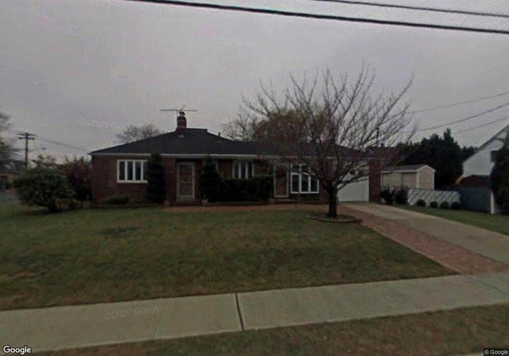
121 Front St Freeport, NY 11520
Estimated Value: $596,000 - $600,502
2
Beds
1
Bath
1,100
Sq Ft
$544/Sq Ft
Est. Value
About This Home
This home is located at 121 Front St, Freeport, NY 11520 and is currently estimated at $598,251, approximately $543 per square foot. 121 Front St is a home located in Nassau County with nearby schools including Columbus Avenue School, Caroline G. Atkinson Intermediate School, and John W Dodd Middle School.
Ownership History
Date
Name
Owned For
Owner Type
Purchase Details
Closed on
Mar 31, 2017
Sold by
Moliterno Philip A and Moliterno Marie E
Bought by
Becker Lori Anne
Current Estimated Value
Home Financials for this Owner
Home Financials are based on the most recent Mortgage that was taken out on this home.
Original Mortgage
$270,000
Outstanding Balance
$180,259
Interest Rate
3.75%
Mortgage Type
Purchase Money Mortgage
Estimated Equity
$417,992
Purchase Details
Closed on
Oct 26, 2009
Sold by
Carruba Paul
Bought by
Moliterno Philip A and Moliterno Maria E
Purchase Details
Closed on
Aug 19, 2003
Sold by
Roberts Benjamin
Bought by
Curruba Paul
Purchase Details
Closed on
May 29, 1998
Sold by
Nicolisch Michael A and Lee Laura
Bought by
Roberts Benjamin
Create a Home Valuation Report for This Property
The Home Valuation Report is an in-depth analysis detailing your home's value as well as a comparison with similar homes in the area
Home Values in the Area
Average Home Value in this Area
Purchase History
| Date | Buyer | Sale Price | Title Company |
|---|---|---|---|
| Becker Lori Anne | $300,370 | Chicago Title Insurance Comp | |
| Moliterno Philip A | $282,500 | -- | |
| Curruba Paul | $295,500 | -- | |
| Roberts Benjamin | $155,000 | -- |
Source: Public Records
Mortgage History
| Date | Status | Borrower | Loan Amount |
|---|---|---|---|
| Open | Becker Lori Anne | $270,000 |
Source: Public Records
Tax History
| Year | Tax Paid | Tax Assessment Tax Assessment Total Assessment is a certain percentage of the fair market value that is determined by local assessors to be the total taxable value of land and additions on the property. | Land | Improvement |
|---|---|---|---|---|
| 2025 | $7,676 | $360 | $188 | $172 |
| 2024 | $790 | $365 | $191 | $174 |
Source: Public Records
Map
Nearby Homes
- 322 Miller Ave
- 310 Miller Ave
- 267 Roosevelt Ave
- 265 Roosevelt Ave
- 494 S Ocean Ave Unit 1M
- 494 S Ocean Ave Unit 1H
- 494 S Ocean Ave Unit 3A
- 160 Saint Marks Ave
- 226 Westside Ave Unit B
- 173 Cedar St
- 119 S Bay Ave
- 470 Miller Ave
- 587 S Bayview Ave
- 292 Westside Ave
- 572 S Bayview Ave
- 463 S Bayview Ave
- 208 Sportsmans Ave
- 48 Saint Marks Ave
- 16 Layton St
- 403 S Bayview Ave
- 534 S Long Beach Ave
- 129 Front St
- 341 Roosevelt Ave
- 514 S Long Beach Ave
- 329 Roosevelt Ave
- 111 Front St
- 345 Roosevelt Ave
- 544 S Long Beach Ave
- 533 S Long Beach Ave
- 112 Front St
- 365 Roosevelt Ave
- 340 Roosevelt Ave
- 543 S Long Beach Ave
- 342 Roosevelt Ave
- 334 Roosevelt Ave
- 319 Roosevelt Ave
- 357 Roosevelt Ave
- 344 Roosevelt Ave
- 502 S Long Beach Ave
- 552 S Long Beach Ave
Your Personal Tour Guide
Ask me questions while you tour the home.