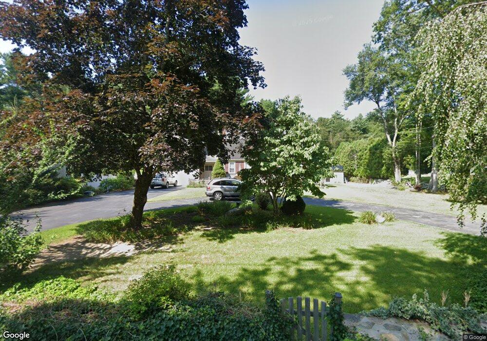
121 Gammons Rd Acushnet, MA 02743
Upper Acushnet NeighborhoodEstimated Value: $571,285 - $680,000
Studio
2
Baths
2,261
Sq Ft
$276/Sq Ft
Est. Value
About This Home
This home is located at 121 Gammons Rd, Acushnet, MA 02743 and is currently estimated at $623,821, approximately $275 per square foot. 121 Gammons Rd is a home located in Bristol County with nearby schools including Acushnet Elementary School, Albert F Ford Middle School, and St Francis Xavier Elementary School.
Ownership History
Date
Name
Owned For
Owner Type
Purchase Details
Closed on
May 14, 1973
Bought by
Monte Barry W and Monte Linda A
Current Estimated Value
Create a Home Valuation Report for This Property
The Home Valuation Report is an in-depth analysis detailing your home's value as well as a comparison with similar homes in the area
Home Values in the Area
Average Home Value in this Area
Purchase History
| Date | Buyer | Sale Price | Title Company |
|---|---|---|---|
| Monte Barry W | -- | -- |
Source: Public Records
Mortgage History
| Date | Status | Borrower | Loan Amount |
|---|---|---|---|
| Open | Monte Barry W | $20,000 | |
| Closed | Monte Barry W | $7,500 |
Source: Public Records
Tax History
| Year | Tax Paid | Tax Assessment Tax Assessment Total Assessment is a certain percentage of the fair market value that is determined by local assessors to be the total taxable value of land and additions on the property. | Land | Improvement |
|---|---|---|---|---|
| 2025 | $51 | $471,700 | $114,900 | $356,800 |
| 2024 | $4,860 | $425,900 | $109,900 | $316,000 |
| 2023 | $4,938 | $411,500 | $99,900 | $311,600 |
| 2022 | $4,890 | $368,500 | $94,900 | $273,600 |
| 2021 | $4,513 | $326,300 | $94,900 | $231,400 |
| 2020 | $4,549 | $326,300 | $94,900 | $231,400 |
| 2019 | $4,384 | $309,200 | $94,900 | $214,300 |
| 2018 | $4,247 | $294,500 | $94,900 | $199,600 |
| 2017 | $4,126 | $285,700 | $94,900 | $190,800 |
| 2016 | $4,179 | $287,600 | $94,900 | $192,700 |
| 2015 | $3,833 | $268,400 | $94,900 | $173,500 |
Source: Public Records
Map
Nearby Homes
- 489 Main St
- 224 North St
- 7 Laura Ln
- 363 Main St
- 0 Land Way Unit 73479153
- 25 Pershing Ave
- 0 Hathaway Rd Unit 73469544
- 23 Oliveira Ave
- 12 White St
- 41 Chershire Ave
- 1 Rounseville Rd
- 11 Boylston St
- 14 Hayes St Unit 1
- 12 Hayes St Unit 1
- 329 Middle Rd
- 7 Hamlin St
- 91 S Main St
- 9 Monmouth St
- 23 Coury Dr
- 134 Nyes Ln
Your Personal Tour Guide
Ask me questions while you tour the home.