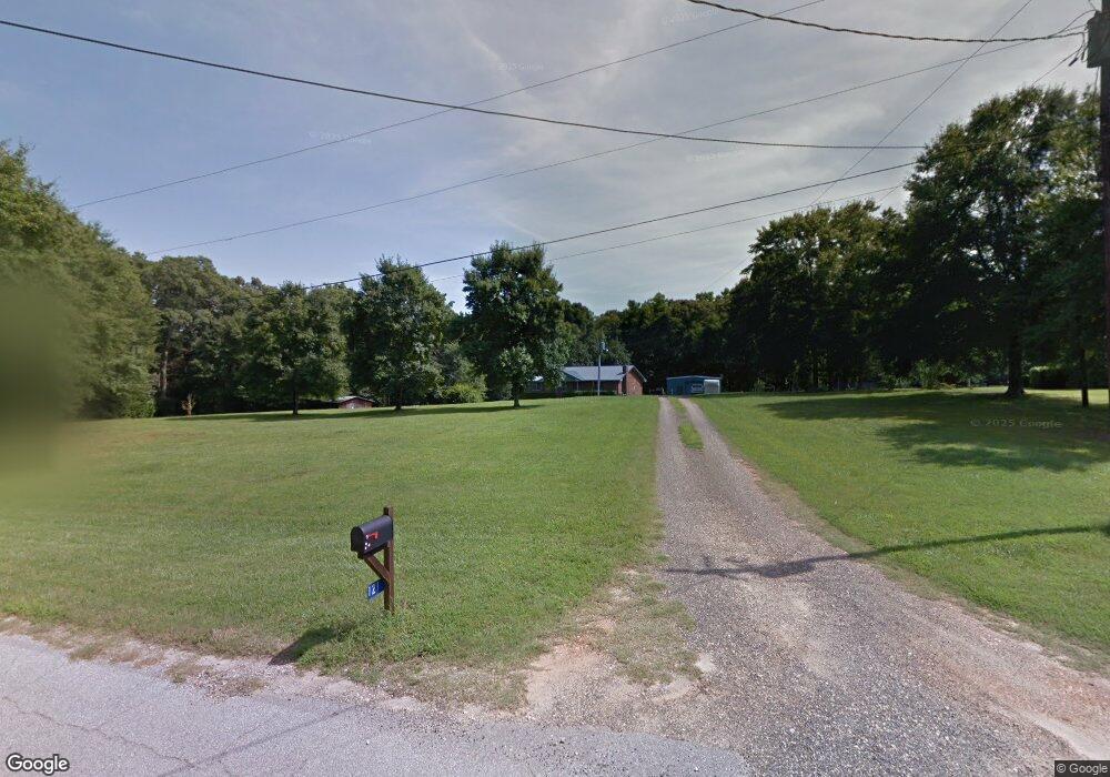
121 Gifton Thomas Rd Bethlehem, GA 30620
Estimated Value: $299,000 - $369,000
2
Beds
1
Bath
1,736
Sq Ft
$195/Sq Ft
Est. Value
About This Home
This home is located at 121 Gifton Thomas Rd, Bethlehem, GA 30620 and is currently estimated at $337,969, approximately $194 per square foot. 121 Gifton Thomas Rd is a home located in Barrow County with nearby schools including Bethlehem Elementary School, Haymon-Morris Middle School, and Apalachee High School.
Ownership History
Date
Name
Owned For
Owner Type
Purchase Details
Closed on
Jun 30, 2021
Sold by
Mcnab Joyce Fortner
Bought by
Mcnab Sandy S
Current Estimated Value
Purchase Details
Closed on
May 9, 2017
Sold by
Mcnab Sandy S
Bought by
Mcnab Sandy S and Mcnab Joyce
Home Financials for this Owner
Home Financials are based on the most recent Mortgage that was taken out on this home.
Original Mortgage
$121,600
Interest Rate
4.08%
Mortgage Type
New Conventional
Purchase Details
Closed on
Jan 22, 1991
Bought by
Mcnab Sandy S And
Create a Home Valuation Report for This Property
The Home Valuation Report is an in-depth analysis detailing your home's value as well as a comparison with similar homes in the area
Home Values in the Area
Average Home Value in this Area
Purchase History
| Date | Buyer | Sale Price | Title Company |
|---|---|---|---|
| Mcnab Sandy S | -- | -- | |
| Mcnab Sandy S | -- | -- | |
| Mcnab Sandy S And | $57,500 | -- |
Source: Public Records
Mortgage History
| Date | Status | Borrower | Loan Amount |
|---|---|---|---|
| Previous Owner | Mcnab Sandy S | $121,600 |
Source: Public Records
Tax History Compared to Growth
Tax History
| Year | Tax Paid | Tax Assessment Tax Assessment Total Assessment is a certain percentage of the fair market value that is determined by local assessors to be the total taxable value of land and additions on the property. | Land | Improvement |
|---|---|---|---|---|
| 2024 | $2,378 | $112,560 | $27,896 | $84,664 |
| 2023 | $1,921 | $112,560 | $27,896 | $84,664 |
| 2022 | $1,966 | $79,393 | $27,896 | $51,497 |
| 2021 | $1,852 | $70,002 | $22,316 | $47,686 |
| 2020 | $1,688 | $63,120 | $25,344 | $37,776 |
| 2019 | $1,575 | $57,301 | $21,050 | $36,251 |
| 2018 | $1,561 | $57,301 | $21,050 | $36,251 |
| 2017 | $1,528 | $52,468 | $21,050 | $31,418 |
| 2016 | $1,406 | $52,467 | $21,050 | $31,418 |
| 2015 | $1,408 | $52,467 | $21,050 | $31,418 |
| 2014 | $1,128 | $41,732 | $10,314 | $31,418 |
| 2013 | -- | $39,936 | $10,314 | $29,621 |
Source: Public Records
Map
Nearby Homes
- 898 Harrison Mill Rd
- 966 David Ave
- 724 Manger Ave
- 182 Nativity Cove
- 328 Advent Dr
- 0 Manger Ave E Unit 20154677
- 0 Manger Ave E Unit 20127001
- 0 Monroe Hwy Unit 10466108
- 0 Monroe Hwy Unit 7530054
- 784 Manger Ave
- 0 Harrison Mill Rd Unit 10522698
- 1050 Bethlehem Church Rd
- 528 Harris Dr
- 164 Manning Gin Rd
- 449 & 455 Carl-Bethlehem Rd
- 259 Dunagan Ct
- 378 Dunagan Ct
- 303 Carly Ct
- 551 Corinth Dr
- 0 McElhannon Rd SW Unit 10581793
- 117 Gifton Thomas Rd
- 278 Thorn Brook Cir
- 113 Gifton Thomas Rd
- 131 Gifton Thomas Rd
- 118 Gifton Thomas Rd
- 897 Harrison Mill Rd
- 105 Gifton Thomas Rd
- 124 Gifton Thomas Rd
- 274 Thorn Brook Cir
- 139 Gifton Thomas Rd
- 280 Thorn Brook Cir
- 128 Gifton Thomas Rd
- 272 Thorn Brook Cir
- 110 Gifton Thomas Rd
- 907 Harrison Mill Rd
- 279 Thorn Brook Cir
- 892 Harrison Mill Rd
- 266 Thorn Brook Cir
- 78 Gifton Thomas Rd
- 275 Thorn Brook Cir