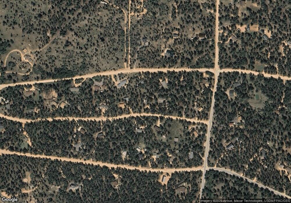
121 Gunsmoke Dr Unit 2 Bailey, CO 80421
Estimated Value: $423,822 - $550,000
2
Beds
1
Bath
976
Sq Ft
$490/Sq Ft
Est. Value
About This Home
This home is located at 121 Gunsmoke Dr Unit 2, Bailey, CO 80421 and is currently estimated at $478,206, approximately $489 per square foot. 121 Gunsmoke Dr Unit 2 is a home located in Park County with nearby schools including Deer Creek Elementary School, Fitzsimmons Middle School, and Platte Canyon High School.
Ownership History
Date
Name
Owned For
Owner Type
Purchase Details
Closed on
Sep 27, 2013
Sold by
The Dana Schrock Trust
Bought by
Pavel Bryan
Current Estimated Value
Home Financials for this Owner
Home Financials are based on the most recent Mortgage that was taken out on this home.
Original Mortgage
$141,300
Outstanding Balance
$106,669
Interest Rate
4.62%
Mortgage Type
New Conventional
Estimated Equity
$371,537
Purchase Details
Closed on
Mar 25, 2011
Sold by
White Richard
Bought by
The Dana Schrock Trust
Purchase Details
Closed on
Jun 30, 2010
Sold by
Hager Nolan Jane A and Hager Joseph Shannon E
Bought by
White Richard
Create a Home Valuation Report for This Property
The Home Valuation Report is an in-depth analysis detailing your home's value as well as a comparison with similar homes in the area
Home Values in the Area
Average Home Value in this Area
Purchase History
| Date | Buyer | Sale Price | Title Company |
|---|---|---|---|
| Pavel Bryan | $157,000 | Land Title Guarantee Company | |
| The Dana Schrock Trust | $134,900 | Land Title Guarantee Company | |
| White Richard | $80,000 | Guardian Title Agency Llc |
Source: Public Records
Mortgage History
| Date | Status | Borrower | Loan Amount |
|---|---|---|---|
| Open | Pavel Bryan | $141,300 |
Source: Public Records
Tax History Compared to Growth
Tax History
| Year | Tax Paid | Tax Assessment Tax Assessment Total Assessment is a certain percentage of the fair market value that is determined by local assessors to be the total taxable value of land and additions on the property. | Land | Improvement |
|---|---|---|---|---|
| 2024 | $1,018 | $17,210 | $5,530 | $11,680 |
| 2023 | $1,018 | $17,210 | $5,530 | $11,680 |
| 2022 | $1,087 | $17,171 | $4,098 | $13,073 |
| 2021 | $1,079 | $17,670 | $4,220 | $13,450 |
| 2020 | $946 | $14,880 | $2,360 | $12,520 |
| 2019 | $933 | $14,880 | $2,360 | $12,520 |
| 2018 | $774 | $14,880 | $2,360 | $12,520 |
| 2017 | $773 | $11,970 | $2,260 | $9,710 |
| 2016 | $693 | $10,680 | $2,620 | $8,060 |
| 2015 | $699 | $10,680 | $2,620 | $8,060 |
| 2014 | $610 | $0 | $0 | $0 |
Source: Public Records
Map
Nearby Homes
- 194 Tincup Terrace
- 56 Bounty Hunter Ln
- 1525 Vigilante Ave
- 131 Hitchrack Rd
- 680 Gunsmoke Dr
- 199 Elk Horn Ct
- 64 Elk Horn Ct
- 50 Ridge Ln
- 104 Six Bits St
- 72 Ridge Ln
- 2169 Vigilante Ave
- 3763 County Road 43
- 567 Forest Dr
- 148 Ridge Ln
- 52 Branding Iron Ln
- 700 Old Sawmill Rd
- 84 Marys Ln
- 188 Brown St
- 342 & 366 Brown Rd Unit 70,71,72,73
- 67 Holdup St
- 95 Gunsmoke Dr
- 282 Tincup Terrace
- 167 Gunsmoke Dr
- 332 Tincup Terrace
- 240 Tincup Terrace
- 96 Gunsmoke Dr
- 134 Gunsmoke Dr
- 63 Gunsmoke Dr
- 378 Tincup Terrace
- 174 Gunsmoke Dr
- 209 Gunsmoke Dr
- 339 Tincup Terrace
- 1067 Vigilante Ave
- 31 Gunsmoke Dr Unit 2
- 214 Gunsmoke Dr
- 283 Tincup Terrace
- 1113 Vigilante Ave
- 1037 Vigilante Ave
- 1135 Vigilante Ave
- 695 Hangman Rd
