121 Hawkins Rd Haddock, GA 31033
Estimated Value: $430,641 - $574,000
--
Bed
3
Baths
980
Sq Ft
$513/Sq Ft
Est. Value
About This Home
This home is located at 121 Hawkins Rd, Haddock, GA 31033 and is currently estimated at $502,321, approximately $512 per square foot. 121 Hawkins Rd is a home located in Jones County with nearby schools including Gray Elementary School, Gray Station Middle School, and Jones County High School.
Ownership History
Date
Name
Owned For
Owner Type
Purchase Details
Closed on
Apr 12, 2022
Sold by
Smith Melanie H
Bought by
Annis Jesse Walker
Current Estimated Value
Purchase Details
Closed on
Nov 29, 2012
Sold by
Hawkins Franklin M
Bought by
Smith Melanie H
Purchase Details
Closed on
Oct 31, 2012
Sold by
Lightwood Farms 3 Llc
Bought by
Lightwood Farms 4 Llc
Purchase Details
Closed on
Apr 29, 2011
Sold by
Hawkins Franklin M
Bought by
Lightwood Farms 3 Llc
Purchase Details
Closed on
Dec 31, 2009
Sold by
Hawkins Franklin M
Bought by
Hawkins Frank Millard
Create a Home Valuation Report for This Property
The Home Valuation Report is an in-depth analysis detailing your home's value as well as a comparison with similar homes in the area
Home Values in the Area
Average Home Value in this Area
Purchase History
| Date | Buyer | Sale Price | Title Company |
|---|---|---|---|
| Annis Jesse Walker | $397,098 | -- | |
| Smith Melanie H | -- | -- | |
| Hawkins Franklin M | -- | -- | |
| Lightwood Farms 4 Llc | -- | -- | |
| Lightwood Farms 3 Llc | -- | -- | |
| Lightwood Farms 3 Llc | $28,603 | -- | |
| Hawkins Frank Millard | -- | -- |
Source: Public Records
Tax History Compared to Growth
Tax History
| Year | Tax Paid | Tax Assessment Tax Assessment Total Assessment is a certain percentage of the fair market value that is determined by local assessors to be the total taxable value of land and additions on the property. | Land | Improvement |
|---|---|---|---|---|
| 2023 | $734 | $129,290 | $129,290 | $0 |
| 2022 | $713 | $122,826 | $122,826 | $0 |
| 2021 | $694 | $122,826 | $122,826 | $0 |
| 2020 | $675 | $113,851 | $113,851 | $0 |
| 2019 | $689 | $130,384 | $130,384 | $0 |
| 2018 | $669 | $130,384 | $130,384 | $0 |
| 2017 | $649 | $130,384 | $130,384 | $0 |
| 2016 | $649 | $130,384 | $130,384 | $0 |
| 2015 | $597 | $130,384 | $130,384 | $0 |
| 2014 | $534 | $130,384 | $130,384 | $0 |
Source: Public Records
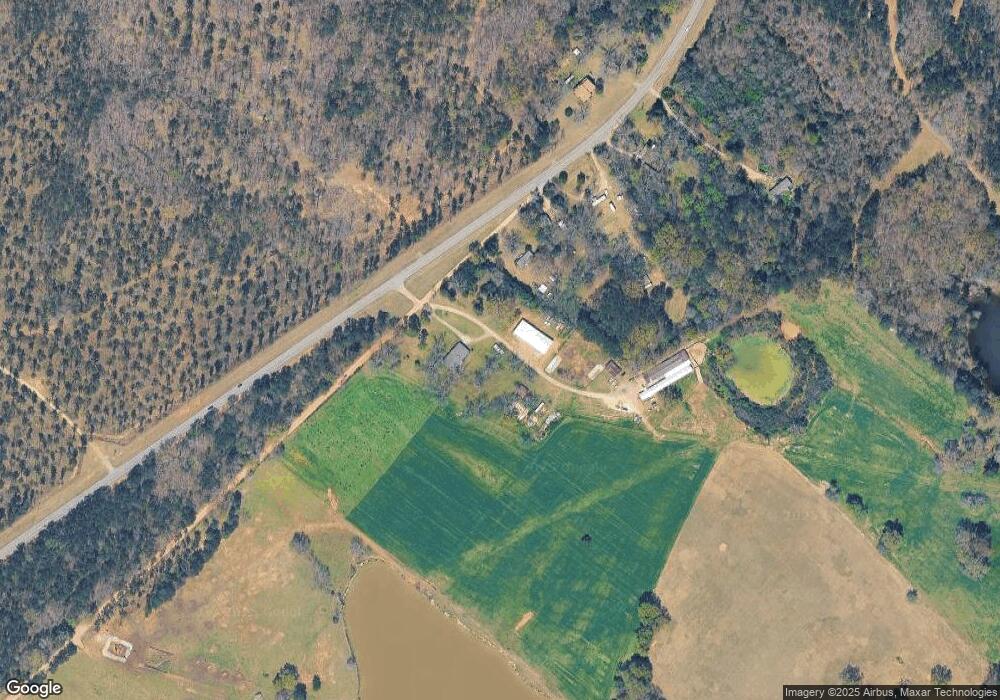
Map
Nearby Homes
- 185 Old Eatonton Rd
- 114 Allens Aly
- 0 Stallings Rd Unit 10492745
- 653 Parham Rd NW
- 673 Parham Rd NW
- 777 Parham Rd NW
- 642 Parham Rd NW
- 0 Phillips Rd Unit 10307410
- 708 Parham Rd NW
- 125 Bentley Dr NW
- 148 Bentley Dr NW
- 162 Bentley Dr NW
- 121 E Montego Ct NW
- 0 Mcdade Rd Unit 10545336
- 0 Mcdade Rd Unit 23668135
- 0 Mcdade Rd Unit 10545325
- 0 Mcdade Rd Unit 10545345
- 0 Mcdade Rd Unit 23668134
- 106 Horseshoe Bend Rd SW
- 143 Napier Dr
- 101 Hawkins Rd
- 2543 Eatonton Hwy
- 0 Mathis Rd Unit 7526180
- 0 Mathis Rd Unit 7526146
- 0 Mathis Rd Unit 7527900
- 0 Mathis Rd Unit 7555793
- 0 Mathis Rd Unit 7173517
- 0 Mathis Rd Unit 7159974
- 0 Mathis Rd Unit 8076340
- 0 Mathis Rd Unit 8076314
- 0 Mathis Rd Unit 8165420
- 0 Mathis Rd Unit 8732354
- 0 Mathis Rd Unit 8732636
- 121 Mathis Rd
- 104 Mathis Rd
- 2590 Eatonton Hwy
- 129 Mathis Rd
- 139 Mathis Rd
- 215 Mathis Rd
- 169 Mathis Rd