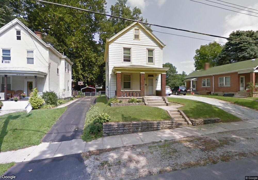
121 Huey Ave Cincinnati, OH 45233
Estimated Value: $186,596 - $200,000
3
Beds
2
Baths
1,408
Sq Ft
$136/Sq Ft
Est. Value
About This Home
This home is located at 121 Huey Ave, Cincinnati, OH 45233 and is currently estimated at $191,899, approximately $136 per square foot. 121 Huey Ave is a home located in Hamilton County with nearby schools including Sayler Park Elementary School, Gilbert A. Dater High School, and Western Hills High School.
Ownership History
Date
Name
Owned For
Owner Type
Purchase Details
Closed on
Mar 13, 2025
Sold by
Byrd Nancy L
Bought by
Burt Megan Leigh
Current Estimated Value
Home Financials for this Owner
Home Financials are based on the most recent Mortgage that was taken out on this home.
Original Mortgage
$163,000
Outstanding Balance
$162,169
Interest Rate
6.89%
Mortgage Type
Credit Line Revolving
Estimated Equity
$29,730
Purchase Details
Closed on
Oct 25, 2012
Sold by
Byrd Ellery D and Byrd Ellery
Bought by
Byrd Ellery D and Byrd Nancy L
Create a Home Valuation Report for This Property
The Home Valuation Report is an in-depth analysis detailing your home's value as well as a comparison with similar homes in the area
Home Values in the Area
Average Home Value in this Area
Purchase History
| Date | Buyer | Sale Price | Title Company |
|---|---|---|---|
| Burt Megan Leigh | $188,000 | None Listed On Document | |
| Burt Megan Leigh | $188,000 | None Listed On Document | |
| Byrd Ellery D | -- | Attorney |
Source: Public Records
Mortgage History
| Date | Status | Borrower | Loan Amount |
|---|---|---|---|
| Open | Burt Megan Leigh | $163,000 | |
| Closed | Burt Megan Leigh | $163,000 |
Source: Public Records
Tax History Compared to Growth
Tax History
| Year | Tax Paid | Tax Assessment Tax Assessment Total Assessment is a certain percentage of the fair market value that is determined by local assessors to be the total taxable value of land and additions on the property. | Land | Improvement |
|---|---|---|---|---|
| 2024 | $1,743 | $29,092 | $4,732 | $24,360 |
| 2023 | $1,782 | $29,092 | $4,732 | $24,360 |
| 2022 | $1,179 | $17,220 | $3,871 | $13,349 |
| 2021 | $1,133 | $17,220 | $3,871 | $13,349 |
| 2020 | $1,166 | $17,220 | $3,871 | $13,349 |
| 2019 | $1,119 | $15,106 | $3,395 | $11,711 |
| 2018 | $1,120 | $15,106 | $3,395 | $11,711 |
| 2017 | $1,064 | $15,106 | $3,395 | $11,711 |
| 2016 | $1,362 | $19,096 | $3,325 | $15,771 |
| 2015 | $1,229 | $19,096 | $3,325 | $15,771 |
| 2014 | $1,237 | $19,096 | $3,325 | $15,771 |
| 2013 | $1,245 | $18,908 | $3,294 | $15,614 |
Source: Public Records
Map
Nearby Homes
- 127 Meridian St
- 133 Meridian St
- 6164 Hillside Ave
- 6516 Parkland Ave
- 174 Twain Ave
- 6604 River Rd
- 241 Monitor Ave
- 6631 Home City Ave
- 837 Martini Rd
- 6735 Home City Ave
- 665 Fox Trails Way
- 6770 River Rd
- 6723 Daniels Walk
- 400 Parkview Cir
- 6713 Daniels Walk
- 6725 Daniels Walk
- 6811 Parkland Ave
- 6337 River Rd
- 6730 Daniels Walk
- 6815 Gracely Dr