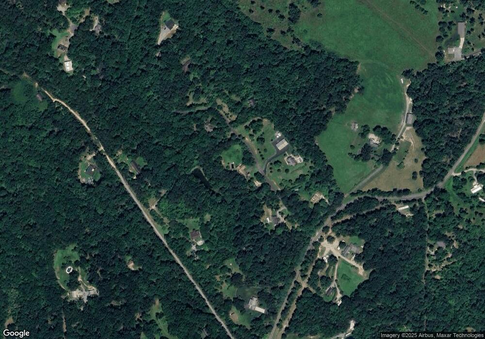
121 Huntview Ln Columbus, NC 28722
Estimated Value: $303,000 - $556,000
3
Beds
2
Baths
1,780
Sq Ft
$237/Sq Ft
Est. Value
About This Home
This home is located at 121 Huntview Ln, Columbus, NC 28722 and is currently estimated at $422,108, approximately $237 per square foot. 121 Huntview Ln is a home located in Polk County.
Ownership History
Date
Name
Owned For
Owner Type
Purchase Details
Closed on
Feb 19, 2013
Sold by
Harrison James S and Harrison Kay Condrey
Bought by
Caballero Emilio Trejo and Trejo Carmen Trejo
Current Estimated Value
Purchase Details
Closed on
Dec 23, 2003
Bought by
Wright Timothy L
Purchase Details
Closed on
Jan 2, 2003
Bought by
Wright Timothy L
Purchase Details
Closed on
Nov 2, 2001
Bought by
Wright Timothy L
Purchase Details
Closed on
May 13, 2000
Bought by
Wright Timothy L
Create a Home Valuation Report for This Property
The Home Valuation Report is an in-depth analysis detailing your home's value as well as a comparison with similar homes in the area
Home Values in the Area
Average Home Value in this Area
Purchase History
| Date | Buyer | Sale Price | Title Company |
|---|---|---|---|
| Caballero Emilio Trejo | $25,000 | None Available | |
| Wright Timothy L | -- | -- | |
| Wright Timothy L | -- | -- | |
| Wright Timothy L | -- | -- | |
| Wright Timothy L | $153,500 | -- |
Source: Public Records
Tax History Compared to Growth
Tax History
| Year | Tax Paid | Tax Assessment Tax Assessment Total Assessment is a certain percentage of the fair market value that is determined by local assessors to be the total taxable value of land and additions on the property. | Land | Improvement |
|---|---|---|---|---|
| 2025 | $1,958 | $374,539 | $76,140 | $298,399 |
| 2024 | $1,527 | $234,285 | $47,240 | $187,045 |
| 2023 | $1,492 | $234,285 | $47,240 | $187,045 |
| 2022 | $1,462 | $234,285 | $47,240 | $187,045 |
| 2021 | $1,462 | $234,285 | $47,240 | $187,045 |
| 2020 | $1,225 | $181,998 | $47,240 | $134,758 |
| 2019 | $1,225 | $181,998 | $47,240 | $134,758 |
| 2018 | $1,134 | $181,998 | $47,240 | $134,758 |
| 2017 | $1,110 | $190,719 | $47,240 | $143,479 |
| 2016 | $1,147 | $190,719 | $47,240 | $143,479 |
| 2015 | $1,123 | $0 | $0 | $0 |
| 2014 | $1,123 | $0 | $0 | $0 |
| 2013 | -- | $0 | $0 | $0 |
Source: Public Records
Map
Nearby Homes
- 000 Levi Rd
- 3100 Peniel Rd
- Lot 1 Mountain Meadows Ln
- 178 Levi Rd
- TBD Blue Horse Ln
- 297 Mountain Meadows Ln Unit 7
- 282 Hamilton Dr
- Lot 7A Springbrook Ct
- 755 Hamilton Dr
- 1020 Blanton St
- 0 Woody Cir Unit 11
- 383 Woody Cir
- 0 Fox Mountain Rd Unit 5 CAR4066094
- 0 Fox Mountain Rd Unit 2 CAR4066028
- 0 Fox Mountain Rd Unit 1 CAR4066020
- 0 Fox Mountain Rd Unit 9 CAR4068729
- 1280 Henderson Rd
- 872 Hayes Rd
- 583 Dublin Ln
- 000 Golf Course Rd
- 126 Huntview Ln
- 1 Laurel Cir
- 195 Huntview Ln
- 2000 Smith Dairy Rd
- 143 Tally Ho Ln
- 21 Huntview Ln
- 21 Huntview Ln Unit 21
- 120 Tally Ho Ln
- 212 Huntview Ln
- 1962 Smith Dairy Rd
- 59 Penny Ln
- 2110 Smith Dairy Rd
- 2300 Smith Dairy Rd
- 2196 Smith Dairy Rd
- 1871 Smith Dairy Rd
- 0 Laurel Cir
- 2194 Smith Dairy Rd
- 10 Winding Creek Ln
- 67 Amy Ln
- 34 Winding Creek Ln
