121 Knights Bridge Way Mays Landing, NJ 08330
Estimated Value: $385,244 - $523,000
--
Bed
--
Bath
2,263
Sq Ft
$204/Sq Ft
Est. Value
About This Home
This home is located at 121 Knights Bridge Way, Mays Landing, NJ 08330 and is currently estimated at $462,061, approximately $204 per square foot. 121 Knights Bridge Way is a home located in Atlantic County with nearby schools including George L. Hess Educational Complex, Joseph Shaner School, and William Davies Middle School.
Ownership History
Date
Name
Owned For
Owner Type
Purchase Details
Closed on
Oct 28, 2004
Sold by
Us Home Corp
Bought by
Leszcynski Edward and Leszynski Bernadette
Current Estimated Value
Purchase Details
Closed on
Jun 26, 2003
Sold by
Chancellor Place Llc
Bought by
U S Home Corp
Create a Home Valuation Report for This Property
The Home Valuation Report is an in-depth analysis detailing your home's value as well as a comparison with similar homes in the area
Home Values in the Area
Average Home Value in this Area
Purchase History
| Date | Buyer | Sale Price | Title Company |
|---|---|---|---|
| Leszcynski Edward | $282,925 | -- | |
| Leszcynski Edward | $282,925 | -- | |
| Leszcynski Edward | $282,925 | -- | |
| U S Home Corp | -- | -- |
Source: Public Records
Tax History Compared to Growth
Tax History
| Year | Tax Paid | Tax Assessment Tax Assessment Total Assessment is a certain percentage of the fair market value that is determined by local assessors to be the total taxable value of land and additions on the property. | Land | Improvement |
|---|---|---|---|---|
| 2025 | $7,281 | $212,200 | $43,600 | $168,600 |
| 2024 | $7,281 | $212,200 | $43,600 | $168,600 |
| 2023 | $6,846 | $212,200 | $43,600 | $168,600 |
| 2022 | $6,846 | $212,200 | $43,600 | $168,600 |
| 2021 | $6,831 | $212,200 | $43,600 | $168,600 |
| 2020 | $6,831 | $212,200 | $43,600 | $168,600 |
| 2019 | $6,848 | $212,200 | $43,600 | $168,600 |
| 2018 | $6,608 | $212,200 | $43,600 | $168,600 |
| 2017 | $6,504 | $212,200 | $43,600 | $168,600 |
| 2016 | $6,321 | $212,200 | $43,600 | $168,600 |
| 2015 | $6,107 | $212,200 | $43,600 | $168,600 |
| 2014 | $5,987 | $227,900 | $48,600 | $179,300 |
Source: Public Records
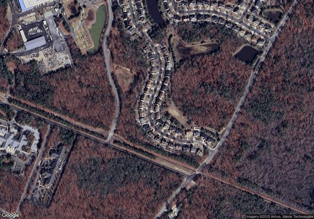
Map
Nearby Homes
- 105 Knights Bridge Way
- 144 Knights Bridge Way
- 1553 John Adams Ct Unit 653
- 1574 John Adams Ct Unit 1574
- 1556 Benjamin Franklin Ct
- 112 Giunta Walk
- 109 Deal Ln
- 156 Marucci Place
- 62 Gasko Rd
- 182 Giordano Mews
- 76 Gasko Rd
- 98 Gasko Rd
- 118 Gasko Rd
- 1410 Cantillon Blvd
- 4902 Winterbury Dr
- 4930 Denbigh Ct
- 4944 Flintshire Ct
- 4772 Summersweet Dr
- 4913 Tulip Tree Place Unit J93
- 5022 Laydon Ct
- 123 Knights Bridge Way
- 119 Knights Bridge Way
- 125 Knights Bridge Way
- 117 Knights Bridge Way
- 122 Knights Bridge Way
- 124 Knights Bridge Way
- 120 Knights Bridge Way
- 127 Knights Bridge Way
- 126 Knights Bridge Way
- 115 Knights Bridge Way
- 118 Knights Bridge Way
- 128 Knights Bridge Way
- 129 Knights Bridge Way
- 116 Knights Bridge Way
- 130 Knights Bridge Way
- 113 Knights Bridge Way
- 132 Knights Bridge Way
- 131 Knights Bridge Way
- 114 Knights Bridge Way
- 134 Knights Bridge Way