121 Latimer Point Rd Stonington, CT 06378
Estimated Value: $717,000 - $1,055,000
3
Beds
2
Baths
1,691
Sq Ft
$507/Sq Ft
Est. Value
About This Home
This home is located at 121 Latimer Point Rd, Stonington, CT 06378 and is currently estimated at $857,637, approximately $507 per square foot. 121 Latimer Point Rd is a home located in New London County with nearby schools including Stonington Middle School and Stonington High School.
Ownership History
Date
Name
Owned For
Owner Type
Purchase Details
Closed on
Nov 1, 2022
Sold by
Bochain Elizabeth W
Bought by
Bochain Elizabeth W and Feinstein Andrew A
Current Estimated Value
Purchase Details
Closed on
Jul 14, 1998
Sold by
Latimer P & Assoc Inc
Bought by
Bouchaine Deborah C and Bouchaine Theodore E
Create a Home Valuation Report for This Property
The Home Valuation Report is an in-depth analysis detailing your home's value as well as a comparison with similar homes in the area
Home Values in the Area
Average Home Value in this Area
Purchase History
| Date | Buyer | Sale Price | Title Company |
|---|---|---|---|
| Bochain Elizabeth W | -- | None Available | |
| Bochain Elizabeth W | -- | None Available | |
| Bouchaine Deborah C | $62,781 | -- | |
| Bouchaine Deborah C | $62,781 | -- |
Source: Public Records
Mortgage History
| Date | Status | Borrower | Loan Amount |
|---|---|---|---|
| Previous Owner | Bouchaine Deborah C | $75,000 | |
| Previous Owner | Bouchaine Deborah C | $75,000 | |
| Previous Owner | Bouchaine Deborah C | $60,000 |
Source: Public Records
Tax History Compared to Growth
Tax History
| Year | Tax Paid | Tax Assessment Tax Assessment Total Assessment is a certain percentage of the fair market value that is determined by local assessors to be the total taxable value of land and additions on the property. | Land | Improvement |
|---|---|---|---|---|
| 2025 | $10,024 | $551,400 | $259,100 | $292,300 |
| 2024 | $9,622 | $551,400 | $259,100 | $292,300 |
| 2023 | $9,622 | $551,400 | $259,100 | $292,300 |
| 2022 | $7,716 | $326,100 | $197,800 | $128,300 |
| 2021 | $7,777 | $326,100 | $197,800 | $128,300 |
| 2020 | $7,618 | $326,100 | $197,800 | $128,300 |
| 2019 | $7,618 | $326,100 | $197,800 | $128,300 |
| 2018 | $7,396 | $326,100 | $197,800 | $128,300 |
| 2017 | $8,174 | $355,700 | $227,400 | $128,300 |
| 2016 | $7,936 | $355,700 | $227,400 | $128,300 |
| 2015 | $7,584 | $355,700 | $227,400 | $128,300 |
| 2014 | $7,267 | $355,700 | $227,400 | $128,300 |
Source: Public Records
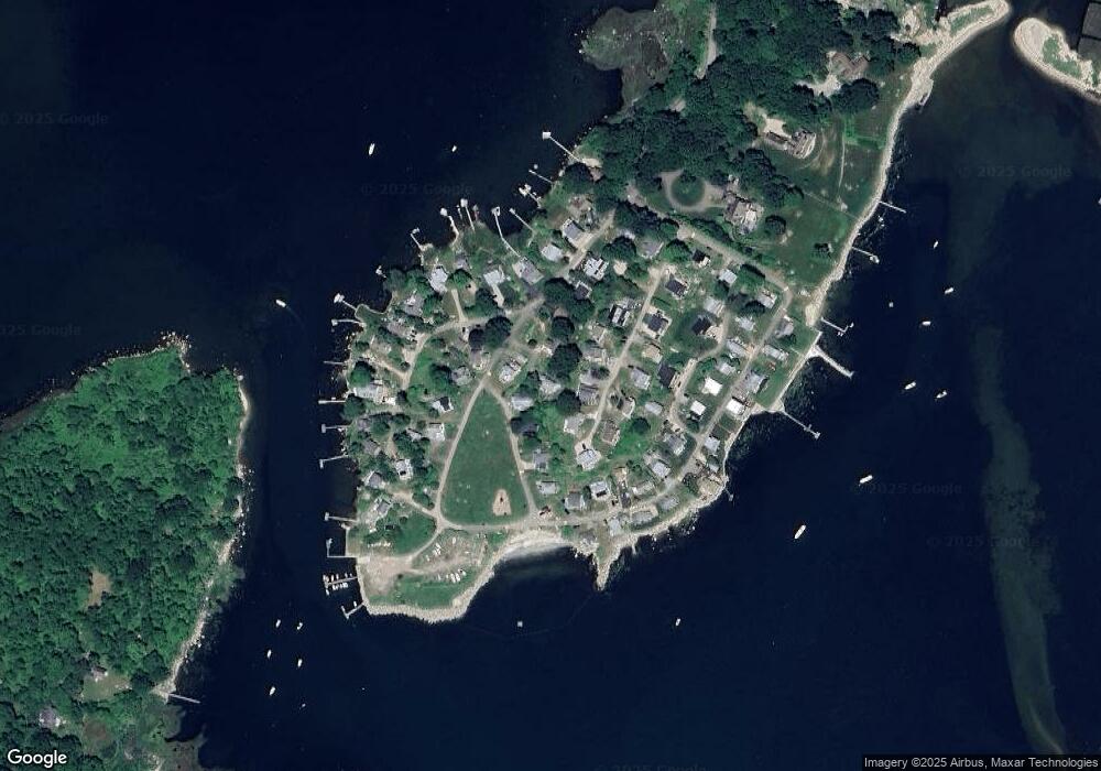
Map
Nearby Homes
- 39 Gledhill Ave
- 6 Rogers Dr
- 8 Osprey Ln
- 17 Old Stonington Rd
- 8 Joyce St
- 1 Egret Rd
- 20 Lambs Way
- 9 Kingfisher Way
- 6 Kingfisher Way
- 30 Cove Rd
- 0 Smail St Unit 24066473
- 44 Williams Ave
- 17 Langworthy Ave
- 50 Ashworth Ave
- 17 Roosevelt Ave
- 71 Wolcott Ave
- 60 Willow St Unit 305
- 60 Willow St Unit 205
- 32 E Main St
- 3 Stanton Place