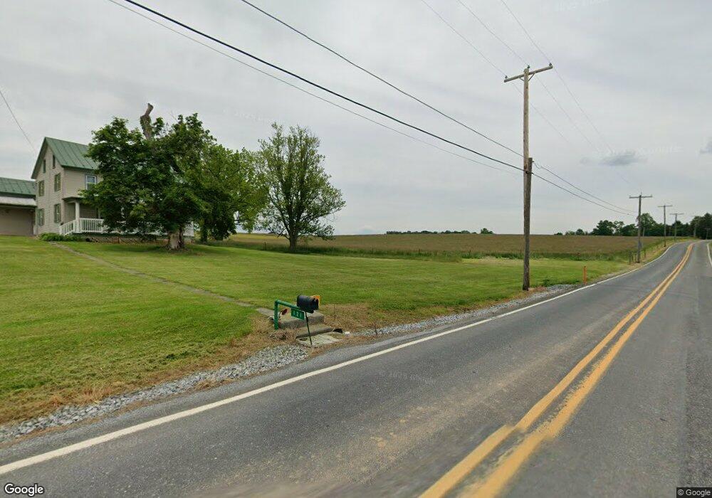
121 Long Rd Myerstown, PA 17067
Estimated Value: $362,000 - $778,000
4
Beds
1
Bath
1,500
Sq Ft
$340/Sq Ft
Est. Value
About This Home
This home is located at 121 Long Rd, Myerstown, PA 17067 and is currently estimated at $509,364, approximately $339 per square foot. 121 Long Rd is a home located in Lebanon County with nearby schools including Northern Lebanon Senior High School, Lebanon Christian Academy, and Nacetown Mennonite School.
Ownership History
Date
Name
Owned For
Owner Type
Purchase Details
Closed on
Mar 27, 2024
Sold by
Grumbine Pauline E and Blecker Michael R
Bought by
Blecker Michael R
Current Estimated Value
Purchase Details
Closed on
Apr 9, 2006
Sold by
Grumbine Kenneth G and Grumbine Pauline E
Bought by
Blecker Michael R
Create a Home Valuation Report for This Property
The Home Valuation Report is an in-depth analysis detailing your home's value as well as a comparison with similar homes in the area
Home Values in the Area
Average Home Value in this Area
Purchase History
| Date | Buyer | Sale Price | Title Company |
|---|---|---|---|
| Blecker Michael R | $350,000 | None Listed On Document | |
| Blecker Michael R | -- | None Available |
Source: Public Records
Tax History Compared to Growth
Tax History
| Year | Tax Paid | Tax Assessment Tax Assessment Total Assessment is a certain percentage of the fair market value that is determined by local assessors to be the total taxable value of land and additions on the property. | Land | Improvement |
|---|---|---|---|---|
| 2025 | $5,800 | $258,600 | $115,600 | $143,000 |
| 2024 | $20,330 | $1,022,900 | $879,900 | $143,000 |
| 2023 | $20,330 | $1,022,900 | $879,900 | $143,000 |
| 2022 | $19,653 | $1,021,200 | $878,200 | $143,000 |
| 2021 | $18,400 | $1,021,200 | $878,200 | $143,000 |
| 2020 | $18,048 | $1,021,200 | $878,200 | $143,000 |
| 2019 | $17,772 | $1,021,200 | $878,200 | $143,000 |
| 2018 | $17,371 | $1,021,200 | $878,200 | $143,000 |
| 2017 | $898 | $1,021,200 | $878,200 | $143,000 |
| 2016 | $16,871 | $1,021,600 | $878,600 | $143,000 |
| 2015 | -- | $1,021,600 | $878,600 | $143,000 |
| 2014 | -- | $1,021,600 | $878,600 | $143,000 |
Source: Public Records
Map
Nearby Homes
- 483 Beagle Rd
- 31 E Rosebud Rd
- 12 Lebanon Valley Ct
- 31 W Strack Dr
- 147 Oaken Way
- 26 Beverly Dr
- 38 Beverly Dr
- 360 Woleber Rd
- 955 Narrows Dr
- 41 Garloff Rd
- 559 Bella May Cir
- 111 N Ramona Rd Unit 19
- 46 Carol Ann Dr
- 00 Bella May Cir
- 01 Bella May Cir
- 604 Liliana Dr
- 604 Lilliana Dr
- 609 Lilliana Dr
- 473 Greble Rd
- 21 Mount Lebanon Dr
- 109 Long Rd
- 1728 Mount Zion Rd
- 1707 Mount Zion Rd
- 1680 Mount Zion Rd
- 1740 Mount Zion Rd
- 1668 Mount Zion Rd
- 1751 Mount Zion Rd
- 1750 Mount Zion Rd
- 164 Long Rd
- 160 Long Rd
- 1760 Mount Zion Rd
- 176 Long Rd
- 0 Mount Zion Rd Unit 1008341744
- 1772 Mount Zion Rd
- 1640 Mount Zion Rd
- ES Mount Zion Rd
- 1632 Mount Zion Rd
- 1604 Mount Zion Rd
- 551 Beagle Rd
- 1804 Mount Zion Rd