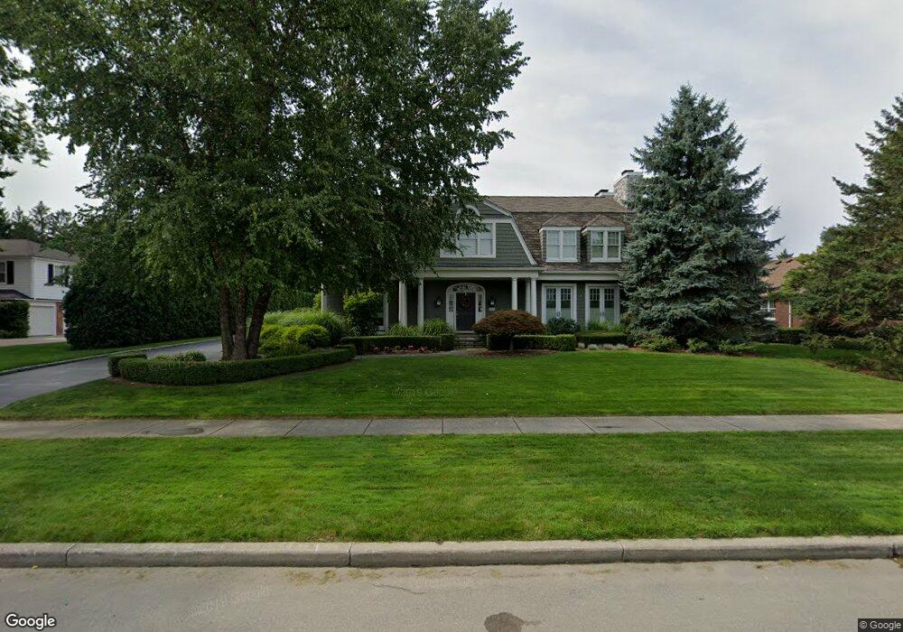
121 Lothrop Rd Grosse Pointe Farms, MI 48236
Estimated Value: $1,275,000 - $2,179,000
5
Beds
5
Baths
5,350
Sq Ft
$349/Sq Ft
Est. Value
About This Home
This home is located at 121 Lothrop Rd, Grosse Pointe Farms, MI 48236 and is currently estimated at $1,868,097, approximately $349 per square foot. 121 Lothrop Rd is a home located in Wayne County with nearby schools including Kerby Elementary School, Brownell Middle School, and Grosse Pointe South High School.
Ownership History
Date
Name
Owned For
Owner Type
Purchase Details
Closed on
Jan 23, 2024
Sold by
Martin Michael J and Martin Elizabeth L
Bought by
Michael J Martin Revocable Trust and Elizabeth L Martin Revocable Trust
Current Estimated Value
Purchase Details
Closed on
Aug 31, 2010
Sold by
Borden Silver Cary A and Borden Silver Anne
Bought by
Martin Michael J and Martin Elizabeth L
Purchase Details
Closed on
Nov 7, 1997
Sold by
France Eva L and France Robert J
Bought by
Silver Anne B
Create a Home Valuation Report for This Property
The Home Valuation Report is an in-depth analysis detailing your home's value as well as a comparison with similar homes in the area
Home Values in the Area
Average Home Value in this Area
Purchase History
| Date | Buyer | Sale Price | Title Company |
|---|---|---|---|
| Michael J Martin Revocable Trust | -- | Land Title | |
| Martin Michael J | -- | Capital Title Ins Agency | |
| Silver Anne B | $425,000 | -- |
Source: Public Records
Tax History Compared to Growth
Tax History
| Year | Tax Paid | Tax Assessment Tax Assessment Total Assessment is a certain percentage of the fair market value that is determined by local assessors to be the total taxable value of land and additions on the property. | Land | Improvement |
|---|---|---|---|---|
| 2025 | $15,981 | $1,155,000 | $0 | $0 |
| 2024 | $15,981 | $1,078,700 | $0 | $0 |
| 2023 | $14,640 | $1,029,200 | $0 | $0 |
| 2022 | $14,640 | $924,500 | $0 | $0 |
| 2021 | $26,865 | $897,200 | $0 | $0 |
| 2019 | $26,416 | $862,500 | $0 | $0 |
| 2018 | $13,519 | $752,100 | $0 | $0 |
| 2017 | $23,456 | $636,600 | $0 | $0 |
| 2016 | $24,588 | $590,400 | $0 | $0 |
| 2015 | $48,702 | $529,500 | $0 | $0 |
| 2013 | $47,180 | $471,800 | $0 | $0 |
| 2012 | $12,300 | $462,500 | $92,300 | $370,200 |
Source: Public Records
Map
Nearby Homes
- 130 Merriweather Rd
- 93 Merriweather Rd
- 216 Ridge Rd
- 189 Cloverly Rd
- 218 Merriweather Rd
- 166 Lewiston Rd
- 257 Ridge Rd
- 194 Charlevoix Ave
- 259 Mount Vernon Ave
- 273 Ridge Rd
- 159 Grosse Pointe Blvd
- 65 Mapleton Rd
- 286 Grosse Pointe Blvd
- 213 Muir Rd
- 302 Mount Vernon Ave
- 233 Mcmillan Rd
- 276 Lewiston Rd
- 201 Mcmillan Rd
- 240 Mckinley Ave
- 314 Mount Vernon Ave
- 131 Lothrop Rd
- 115 Lothrop Rd
- 134 Merriweather Rd
- 130 Lothrop Rd
- 118 Merriweather Rd
- 124 Merriweather Rd
- 124 Merriweather Rd
- 124 Merriweather Rd
- 114 Lothrop Rd
- 114 Merriweather Rd
- 152 Merriweather Rd
- 110 Merriweather Rd
- 100 Lothrop Rd
- 155 Lothrop Rd
- 99 Lothrop Rd
- 154 Lothrop Rd
- 158 Merriweather Rd
- 102 Merriweather Rd
- 96 Lothrop Rd
- 165 Lothrop Rd