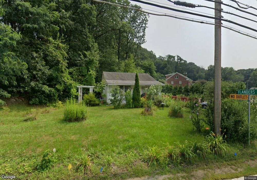
121 Main St Netcong, NJ 07857
Estimated Value: $252,551 - $479,000
--
Bed
--
Bath
750
Sq Ft
$441/Sq Ft
Est. Value
About This Home
This home is located at 121 Main St, Netcong, NJ 07857 and is currently estimated at $330,388, approximately $440 per square foot. 121 Main St is a home located in Morris County with nearby schools including Netcong Elementary School, Lenape Val Regional High School, and St. Therese School.
Ownership History
Date
Name
Owned For
Owner Type
Purchase Details
Closed on
Jul 9, 2025
Sold by
Wheeler Lynne
Bought by
Ray Properties Limited Liability Company
Current Estimated Value
Purchase Details
Closed on
Jan 24, 2025
Sold by
Compagnone Nicholas J and Anita Compagnone Family Trust
Bought by
Wheeler Lynne
Purchase Details
Closed on
Feb 8, 2017
Sold by
Township Of Roxbury
Bought by
Ransegnola Debra
Create a Home Valuation Report for This Property
The Home Valuation Report is an in-depth analysis detailing your home's value as well as a comparison with similar homes in the area
Home Values in the Area
Average Home Value in this Area
Purchase History
| Date | Buyer | Sale Price | Title Company |
|---|---|---|---|
| Ray Properties Limited Liability Company | $50,000 | Reliant Title Agency | |
| Ray Properties Limited Liability Company | $50,000 | Reliant Title Agency | |
| Wheeler Lynne | -- | None Listed On Document | |
| Ransegnola Debra | -- | None Available |
Source: Public Records
Tax History Compared to Growth
Tax History
| Year | Tax Paid | Tax Assessment Tax Assessment Total Assessment is a certain percentage of the fair market value that is determined by local assessors to be the total taxable value of land and additions on the property. | Land | Improvement |
|---|---|---|---|---|
| 2025 | $5,549 | $162,400 | $95,700 | $66,700 |
| 2024 | $5,598 | $162,400 | $95,700 | $66,700 |
| 2023 | $5,598 | $162,400 | $95,700 | $66,700 |
| 2022 | $4,822 | $162,400 | $95,700 | $66,700 |
| 2021 | $4,822 | $162,400 | $95,700 | $66,700 |
| 2020 | $6,616 | $215,100 | $174,800 | $40,300 |
| 2019 | $6,298 | $215,100 | $174,800 | $40,300 |
| 2018 | $5,922 | $215,100 | $174,800 | $40,300 |
| 2017 | $5,689 | $215,100 | $174,800 | $40,300 |
| 2016 | $5,535 | $215,100 | $174,800 | $40,300 |
| 2015 | $5,082 | $215,100 | $174,800 | $40,300 |
| 2014 | $4,850 | $215,100 | $174,800 | $40,300 |
Source: Public Records
Map
Nearby Homes
- 17 Church St
- 98 Main St
- 45 Terrace St
- 4 Ikes Ln
- 43 Terrace St
- 16 Old Ledgewood Rd
- 26 Maple Ave
- 5 Dogwood Rd
- 23 Amendola Dr
- 8 Oak St
- 23 Ledgewood Ave
- 74 Main St
- 79 Main St
- 81 Main St
- 18 Dell Ave
- 5 Mcmullen St
- 16-18 King St
- 60 Silas Rd Unit H
- Lehigh Plan at Mount Olive Grove - Singles
- Columbia Plan at Mount Olive Grove - Singles
- 3 Flanders Rd
- 126 Main St
- 5 Flanders Rd
- 7 Flanders Rd
- 7 Flanders Rd
- 125 Main St
- 128 Main St
- 130 Main St
- 134 Main St Unit B
- 134 Main St Unit 3
- 134 Main St Unit C
- 134 Main St Unit 1
- 134 Main St Unit 1B
- 134 Main St Unit B
- 134 Main St Unit C/B
- 134 Main St Unit 9999
- 134 Main St
- 134 Main St Unit 134
- 3 Old Budd Lake Rd
- 11 Flanders Dr