121 Meadow Ln Boxborough, MA 01719
Estimated Value: $981,105 - $1,234,000
4
Beds
3
Baths
3,020
Sq Ft
$364/Sq Ft
Est. Value
About This Home
This home is located at 121 Meadow Ln, Boxborough, MA 01719 and is currently estimated at $1,098,276, approximately $363 per square foot. 121 Meadow Ln is a home located in Middlesex County with nearby schools including Acton-Boxborough Regional High School.
Ownership History
Date
Name
Owned For
Owner Type
Purchase Details
Closed on
Feb 20, 2024
Sold by
Masciola John A and Masciola Maureen M
Bought by
121 Meadow Lane Nt and Masciola
Current Estimated Value
Purchase Details
Closed on
Jun 19, 1991
Sold by
John J Flannery Inc
Bought by
Masciola John A and Masciola Maureen M
Home Financials for this Owner
Home Financials are based on the most recent Mortgage that was taken out on this home.
Original Mortgage
$95,000
Interest Rate
9.37%
Mortgage Type
Purchase Money Mortgage
Create a Home Valuation Report for This Property
The Home Valuation Report is an in-depth analysis detailing your home's value as well as a comparison with similar homes in the area
Home Values in the Area
Average Home Value in this Area
Purchase History
| Date | Buyer | Sale Price | Title Company |
|---|---|---|---|
| 121 Meadow Lane Nt | -- | None Available | |
| Masciola John A | $285,000 | -- |
Source: Public Records
Mortgage History
| Date | Status | Borrower | Loan Amount |
|---|---|---|---|
| Previous Owner | Masciola John A | $95,000 | |
| Closed | Masciola John A | $90,000 |
Source: Public Records
Tax History
| Year | Tax Paid | Tax Assessment Tax Assessment Total Assessment is a certain percentage of the fair market value that is determined by local assessors to be the total taxable value of land and additions on the property. | Land | Improvement |
|---|---|---|---|---|
| 2025 | $14,263 | $942,100 | $293,600 | $648,500 |
| 2024 | $13,176 | $879,000 | $282,200 | $596,800 |
| 2023 | $12,737 | $820,700 | $254,300 | $566,400 |
| 2022 | $12,314 | $706,900 | $254,300 | $452,600 |
| 2020 | $11,120 | $665,100 | $254,300 | $410,800 |
| 2019 | $10,921 | $665,100 | $254,300 | $410,800 |
| 2018 | $14,889 | $630,200 | $242,300 | $387,900 |
| 2017 | $10,400 | $618,700 | $242,300 | $376,400 |
| 2016 | $9,890 | $604,500 | $242,300 | $362,200 |
| 2015 | $9,975 | $599,100 | $241,800 | $357,300 |
| 2014 | $10,067 | $569,100 | $239,400 | $329,700 |
Source: Public Records
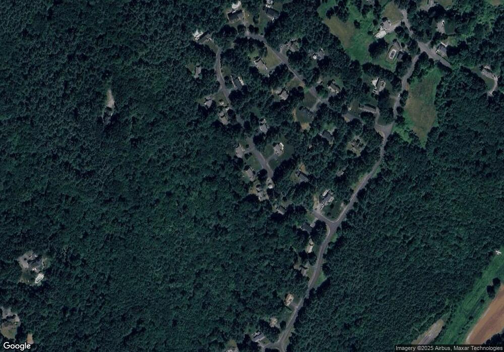
Map
Nearby Homes
- 40 Fifers Ln
- 77 Wheeler Dr Unit 77
- 20 Lyons Ln Unit 20
- 39 Ridgewood Dr Unit 39
- 17 W View Ln Unit 17
- 79 Old Orchard Ln
- 280 W Acton Rd
- 53 Sylvan Dr
- 30-6 Taylor Rd
- 247 W Acton Rd
- 276 Codman Hill Rd Unit 36A
- 310 Codman Hill Rd Unit 35D
- 50 Spencer Rd Unit 12L
- 15 Spencer Rd Unit 12E
- 12 S Acton Rd
- 13 Pine Hill Way
- 92 Willow St Unit 3
- 92 Willow St Unit 2
- 90 Willow St Unit 1
- 220 Swanson Rd Unit 605
Your Personal Tour Guide
Ask me questions while you tour the home.