Estimated Value: $354,242 - $745,000
2
Beds
1
Bath
864
Sq Ft
$614/Sq Ft
Est. Value
About This Home
This home is located at 121 Meadow Rd, Lyons, CO 80540 and is currently estimated at $530,811, approximately $614 per square foot. 121 Meadow Rd is a home located in Larimer County with nearby schools including Estes Park K-5 School, Estes Park Middle School, and Estes Park High School.
Ownership History
Date
Name
Owned For
Owner Type
Purchase Details
Closed on
Jan 19, 1994
Sold by
Gray George L and Gray Barbara J
Bought by
Ferruggia Robin F
Current Estimated Value
Purchase Details
Closed on
Dec 6, 1980
Sold by
Vinzenz Richard H and Vinzenz Mary L
Bought by
Gray George L and Gray Barbara J
Purchase Details
Closed on
Jul 23, 1979
Sold by
Sharpe Andrew B and Sharpe Marguerite E
Bought by
Vinzenz Richard H and Vinzenz Mary L
Purchase Details
Closed on
Jul 15, 1967
Sold by
Anderson Sarah Helen
Bought by
Sharpe Andrew B and Sharpe Marguerite E
Purchase Details
Closed on
Aug 31, 1964
Sold by
Monninger Mary V
Bought by
Anderson Sarah Helen
Purchase Details
Closed on
Sep 2, 1959
Sold by
Webster May Charles Everett and Webster May Dwight
Bought by
Anderson Sarah Helen and Monninger Mary V
Create a Home Valuation Report for This Property
The Home Valuation Report is an in-depth analysis detailing your home's value as well as a comparison with similar homes in the area
Purchase History
| Date | Buyer | Sale Price | Title Company |
|---|---|---|---|
| Ferruggia Robin F | $18,000 | -- | |
| Gray George L | $19,000 | -- | |
| Vinzenz Richard H | $14,000 | -- | |
| Sharpe Andrew B | $1,500 | -- | |
| Anderson Sarah Helen | -- | -- | |
| Anderson Sarah Helen | $2,000 | -- |
Source: Public Records
Tax History
| Year | Tax Paid | Tax Assessment Tax Assessment Total Assessment is a certain percentage of the fair market value that is determined by local assessors to be the total taxable value of land and additions on the property. | Land | Improvement |
|---|---|---|---|---|
| 2025 | $1,160 | $24,375 | $7,000 | $17,375 |
| 2024 | $1,155 | $22,559 | $7,504 | $15,055 |
| 2022 | $1,495 | $21,058 | $5,671 | $15,387 |
| 2021 | $1,532 | $21,664 | $5,834 | $15,830 |
| 2020 | $1,212 | $18,318 | $5,148 | $13,170 |
| 2019 | $1,206 | $18,318 | $5,148 | $13,170 |
| 2018 | $927 | $15,192 | $3,960 | $11,232 |
| 2017 | $931 | $15,192 | $3,960 | $11,232 |
| 2016 | $830 | $13,611 | $3,502 | $10,109 |
| 2015 | $1,654 | $15,470 | $3,500 | $11,970 |
| 2014 | $1,548 | $12,340 | $3,580 | $8,760 |
Source: Public Records
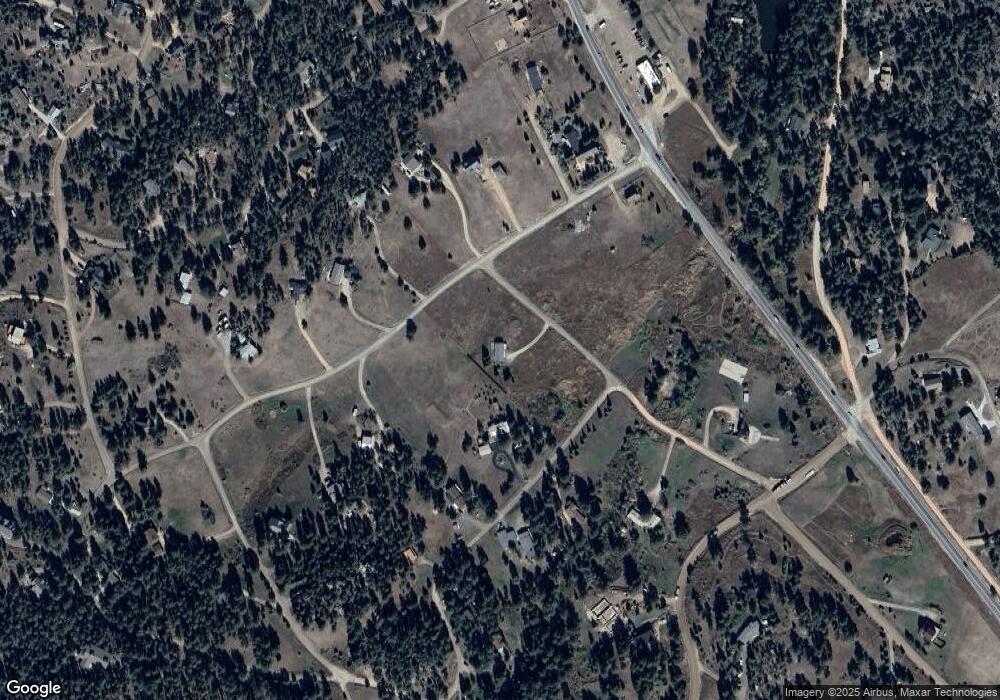
Map
Nearby Homes
- 234 Deer Ln
- 96 Moose Rd
- 123 Mohawk Rd
- 270 Choctaw Rd
- 321 May Ave
- 35 Cody Ct
- 1005 Estes Park Estates Dr
- 1289 Kiowa Rd
- 1477 Kiowa Rd
- 3665 Colard Ln
- 1960 Colard Ln
- 1893 Colard Ln
- 134 Aspen Dr
- 0 Longmont Dam Rd Unit 1
- 0 Longmont Dam Rd Unit 2
- 0 Longmont Dam Rd Unit 3
- 434 Aspen Dr
- 745 Hickory Dr
- 0 Cedar Dr Unit 1032063
- 972 Aspen Dr
- 54 Pinewood Dr
- 0 Pinewood Dr
- 108 Pinewood Dr
- 534 Pinewood Dr
- 63 Pinewood Dr
- 101 Pinewood Dr
- 563 Pinewood Dr
- 685 Pinewood Dr
- 508 Pinewood Dr
- 142 Pinewood Dr
- 45 Meadow Rd
- 728 Pinewood Dr
- 591 Pinewood Dr
- 545 Pinewood Dr
- 633 Pinewood Dr
- 729 Pinewood Dr
- 159 Pinewood Dr
- 150 Deer Ln
- 40 Meadow Rd
- 475 Pinewood Dr
Your Personal Tour Guide
Ask me questions while you tour the home.