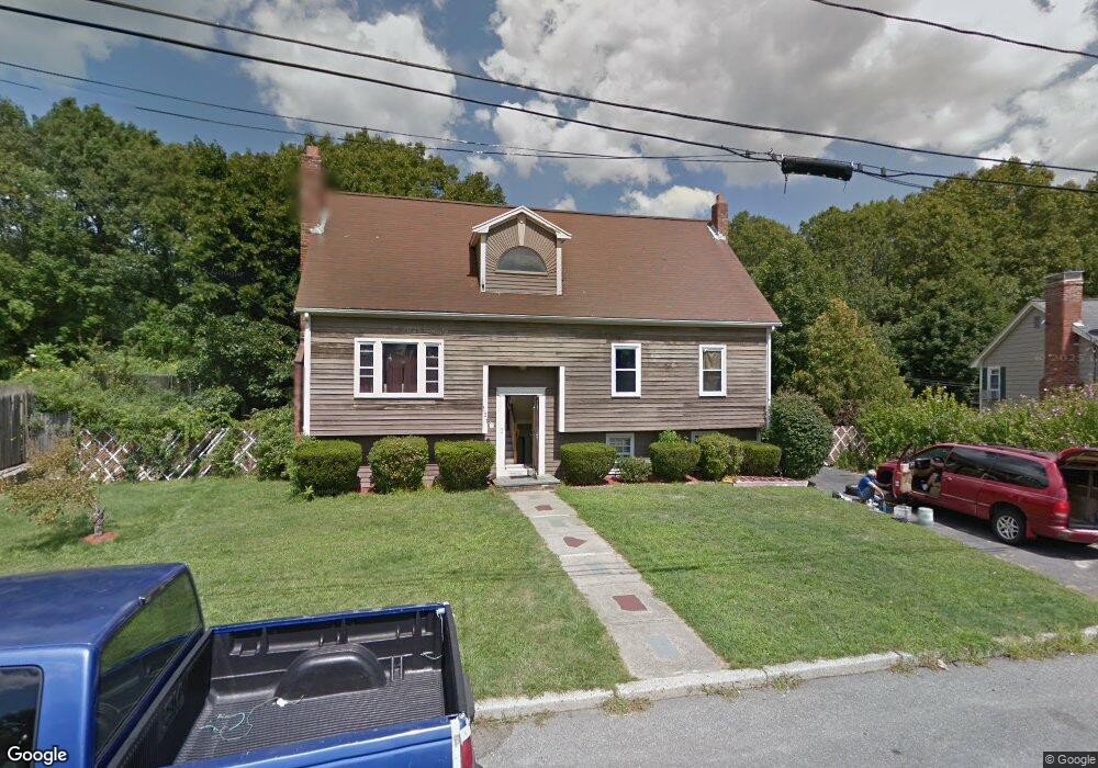
121 Merryknoll Rd North Weymouth, MA 02191
North Weymouth NeighborhoodEstimated Value: $770,000 - $954,000
5
Beds
3
Baths
2,184
Sq Ft
$380/Sq Ft
Est. Value
About This Home
This home is located at 121 Merryknoll Rd, North Weymouth, MA 02191 and is currently estimated at $829,828, approximately $379 per square foot. 121 Merryknoll Rd is a home with nearby schools including Wessagusset Elementary School, Abigail Adams Middle School, and Weymouth Middle School Chapman.
Ownership History
Date
Name
Owned For
Owner Type
Purchase Details
Closed on
Jan 14, 2005
Sold by
Pecoraro Paul E and Pecoraro Susan A
Bought by
Mckinnon Francis
Current Estimated Value
Home Financials for this Owner
Home Financials are based on the most recent Mortgage that was taken out on this home.
Original Mortgage
$200,000
Outstanding Balance
$101,377
Interest Rate
5.81%
Mortgage Type
Purchase Money Mortgage
Estimated Equity
$728,451
Create a Home Valuation Report for This Property
The Home Valuation Report is an in-depth analysis detailing your home's value as well as a comparison with similar homes in the area
Home Values in the Area
Average Home Value in this Area
Purchase History
| Date | Buyer | Sale Price | Title Company |
|---|---|---|---|
| Mckinnon Francis | $416,000 | -- |
Source: Public Records
Mortgage History
| Date | Status | Borrower | Loan Amount |
|---|---|---|---|
| Open | Mckinnon Francis | $200,000 |
Source: Public Records
Tax History Compared to Growth
Tax History
| Year | Tax Paid | Tax Assessment Tax Assessment Total Assessment is a certain percentage of the fair market value that is determined by local assessors to be the total taxable value of land and additions on the property. | Land | Improvement |
|---|---|---|---|---|
| 2025 | $7,088 | $701,800 | $247,600 | $454,200 |
| 2024 | $6,867 | $668,600 | $235,800 | $432,800 |
| 2023 | $6,738 | $644,800 | $218,400 | $426,400 |
| 2022 | $6,598 | $575,700 | $202,200 | $373,500 |
| 2021 | $6,377 | $543,200 | $202,200 | $341,000 |
| 2020 | $6,245 | $523,900 | $202,200 | $321,700 |
| 2019 | $6,141 | $506,700 | $194,400 | $312,300 |
| 2018 | $5,935 | $474,800 | $185,200 | $289,600 |
| 2017 | $5,795 | $452,400 | $176,400 | $276,000 |
| 2016 | $5,617 | $438,800 | $169,600 | $269,200 |
| 2015 | $5,351 | $414,800 | $169,600 | $245,200 |
| 2014 | $4,897 | $368,200 | $151,300 | $216,900 |
Source: Public Records
Map
Nearby Homes
- 109 Merryknoll Rd
- 95 Fuller Rd
- 59 Katherine St
- 320 Green St
- 2 Winstead Rd
- 43 Flint Locke Dr
- 16 Howard St
- 6 Beal's Cove Rd Unit G
- 17 Beals Cove Rd Unit A
- 5 Beals Cove Rd Unit E
- 4 Beals Cove Rd Unit F
- 16 Beal's Cove Rd Unit E
- 21 Athens St Unit 11
- 65 Saning Rd
- 504 Tuckers Ln
- 88 Saning Rd
- 14 Crescent Rd
- 51 Beals St Unit 53
- 69 Great Hill Dr
- 10 Shipyard Dr Unit 313
- 129 Merryknoll Rd
- 117 Merryknoll Rd
- 122 Merryknoll Rd
- 108 Merryknoll Rd
- 132 Merryknoll Rd
- 135 Merryknoll Rd
- 113 Merryknoll Rd
- 96 Merryknoll Rd
- 142 Merryknoll Rd
- 139 Merryknoll Rd
- 88 Merryknoll Rd
- 105 Merryknoll Rd
- 99 Merryknoll Rd
- 143 Merryknoll Rd
- 91 Merryknoll Rd
- 80 Merryknoll Rd
- 48 Fairfax St
- 48 Fairfax St Unit Garden Lev.
- 102 Sunrise Dr
- 96 Sunrise Dr