121 Mossy Rock Trail Iron Station, NC 28080
Estimated Value: $687,000 - $748,555
3
Beds
3
Baths
2,931
Sq Ft
$247/Sq Ft
Est. Value
About This Home
This home is located at 121 Mossy Rock Trail, Iron Station, NC 28080 and is currently estimated at $724,518, approximately $247 per square foot. 121 Mossy Rock Trail is a home located in Lincoln County with nearby schools including Iron Station Elementary School, East Lincoln Middle School, and East Lincoln High School.
Ownership History
Date
Name
Owned For
Owner Type
Purchase Details
Closed on
Mar 1, 2016
Sold by
Rumple Richard G and Rumple Barbara B
Bought by
Burns Patricia Ann Rumple and Beatty Sharon Elizabeth Rumple
Current Estimated Value
Purchase Details
Closed on
Nov 7, 2005
Sold by
Holbrooks Christian Jon and Holbrooks Chandra Beal
Bought by
Rumple Richard G and Rumple Barbara B
Purchase Details
Closed on
Sep 21, 2000
Bought by
Holbrooks Christian Jon and Holbrooks Chandra
Purchase Details
Closed on
Mar 23, 1959
Sold by
Shrum Gordon L and Shrum Lorene S
Bought by
Shrum W T and Shrum Elizabeth G
Create a Home Valuation Report for This Property
The Home Valuation Report is an in-depth analysis detailing your home's value as well as a comparison with similar homes in the area
Home Values in the Area
Average Home Value in this Area
Purchase History
| Date | Buyer | Sale Price | Title Company |
|---|---|---|---|
| Burns Patricia Ann Rumple | -- | None Available | |
| Rumple Richard G | $53,500 | None Available | |
| Holbrooks Christian Jon | $33,200 | -- | |
| Shrum W T | -- | None Available |
Source: Public Records
Tax History Compared to Growth
Tax History
| Year | Tax Paid | Tax Assessment Tax Assessment Total Assessment is a certain percentage of the fair market value that is determined by local assessors to be the total taxable value of land and additions on the property. | Land | Improvement |
|---|---|---|---|---|
| 2025 | $4,083 | $631,918 | $83,892 | $548,026 |
| 2024 | $4,069 | $632,852 | $84,826 | $548,026 |
| 2023 | $4,064 | $632,852 | $84,826 | $548,026 |
| 2022 | $2,928 | $378,025 | $57,309 | $320,716 |
| 2021 | $2,928 | $378,025 | $57,309 | $320,716 |
| 2020 | $2,737 | $378,025 | $57,309 | $320,716 |
| 2019 | $2,661 | $378,025 | $57,309 | $320,716 |
| 2018 | $2,547 | $341,604 | $72,119 | $269,485 |
| 2017 | $2,428 | $341,604 | $72,119 | $269,485 |
| 2016 | $2,428 | $341,604 | $72,119 | $269,485 |
| 2015 | $2,466 | $341,604 | $72,119 | $269,485 |
| 2014 | $2,567 | $359,807 | $75,016 | $284,791 |
Source: Public Records
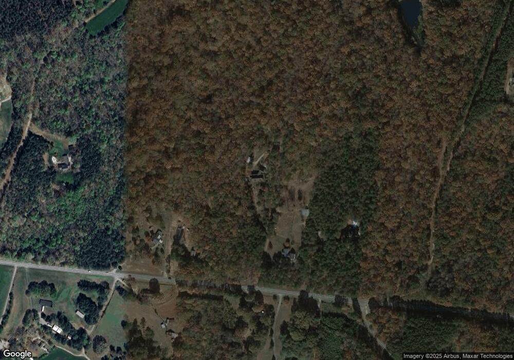
Map
Nearby Homes
- 000 N Carolina 73
- Lot 6 Walnut Ridge Rd Unit 6
- 341 Camp Creek Rd
- 00 Timber Rd
- 375 Timber Rd
- 1894 N Carolina 73
- 132 Huncoat Hollow Ln
- 5045 Amity Ln Unit 12
- 1011 Lester Trail
- 429 Link Dr
- 1076 Furnace Rd
- 812 Trinity Ln
- 1279 Craig Dr
- 3960 Orchard Rd
- 3132 Fox Den Cir
- Lot #42 Sardis Ct
- 1481 Depot St
- 0 Great Dane Ave Unit CAR4157929
- 5039 Penn Rd
- 1554 Forum Ln
- 2633 Highway 73
- 2551 Nc 73 Hwy
- 2590 Nc 73 Hwy
- 2626 Highway 73
- 2524 Highway 73
- 148 Rudisill Ln
- 4654 Reinhardt Cir
- 2462 Highway 73
- 4605 Rye Ct
- 346 Rudisill Ln
- 1002 Secretariat Ct
- 302 Mossy Rock Trail
- 4600 Rye Ct
- 196 Fea Ln
- #6 Woodward Way
- 4623 Rye Ct
- 151 Guy Perkins Trail
- 230 Destiny Way
- Lot 6 Woodward Way
- 146 Woodward Way