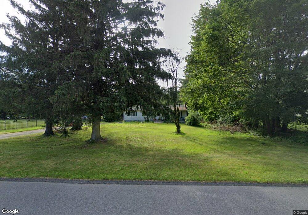
121 Mountain Rd Seymour, CT 06483
Estimated Value: $371,000 - $440,000
3
Beds
2
Baths
1,272
Sq Ft
$318/Sq Ft
Est. Value
About This Home
This home is located at 121 Mountain Rd, Seymour, CT 06483 and is currently estimated at $404,509, approximately $318 per square foot. 121 Mountain Rd is a home located in New Haven County with nearby schools including Bungay Elementary School, Seymour Middle School, and Seymour High School.
Ownership History
Date
Name
Owned For
Owner Type
Purchase Details
Closed on
Nov 19, 2015
Sold by
Blondeau Deborah and Blondeau Jeffrey
Bought by
Niedzwecki Jessica
Current Estimated Value
Home Financials for this Owner
Home Financials are based on the most recent Mortgage that was taken out on this home.
Original Mortgage
$114,800
Outstanding Balance
$90,296
Interest Rate
3.79%
Estimated Equity
$314,213
Create a Home Valuation Report for This Property
The Home Valuation Report is an in-depth analysis detailing your home's value as well as a comparison with similar homes in the area
Home Values in the Area
Average Home Value in this Area
Purchase History
| Date | Buyer | Sale Price | Title Company |
|---|---|---|---|
| Niedzwecki Jessica | $143,560 | -- |
Source: Public Records
Mortgage History
| Date | Status | Borrower | Loan Amount |
|---|---|---|---|
| Open | Niedzwecki Jessica | $114,800 |
Source: Public Records
Tax History Compared to Growth
Tax History
| Year | Tax Paid | Tax Assessment Tax Assessment Total Assessment is a certain percentage of the fair market value that is determined by local assessors to be the total taxable value of land and additions on the property. | Land | Improvement |
|---|---|---|---|---|
| 2025 | $6,180 | $222,950 | $54,950 | $168,000 |
| 2024 | $5,666 | $153,790 | $56,560 | $97,230 |
| 2023 | $5,533 | $153,790 | $56,560 | $97,230 |
| 2022 | $5,473 | $153,790 | $56,560 | $97,230 |
| 2021 | $5,338 | $153,790 | $56,560 | $97,230 |
| 2020 | $5,476 | $152,110 | $66,500 | $85,610 |
| 2019 | $5,476 | $152,110 | $66,500 | $85,610 |
| 2018 | $5,476 | $152,110 | $66,500 | $85,610 |
| 2017 | $5,476 | $152,110 | $66,500 | $85,610 |
| 2016 | $5,476 | $152,110 | $66,500 | $85,610 |
| 2015 | $5,528 | $159,810 | $69,580 | $90,230 |
| 2014 | $5,440 | $159,810 | $69,580 | $90,230 |
Source: Public Records
Map
Nearby Homes
- 9 Stanley Dr
- 43 Balance Rock Rd Unit 9
- 41 Balance Rock Rd Unit 16
- 114 Balance Rock Rd Unit 12
- 37-14, 49-1, 79-2, 7 Balance Rock Rd
- 22 Frances Dr
- 28 Brook St
- 4 Brook St
- 73 Botsford Rd
- 4 Mead Farm Rd
- 3 Deer Run Dr
- 4 Nickel Mine Dr
- 12 Deerfield Dr
- 36 Bungay Terrace
- 202 W Church St
- 11 Oxford Rd
- 25 Davis Rd
- 19 Davis Rd
- 50 Bissell Place
- 88 Brookfield Rd