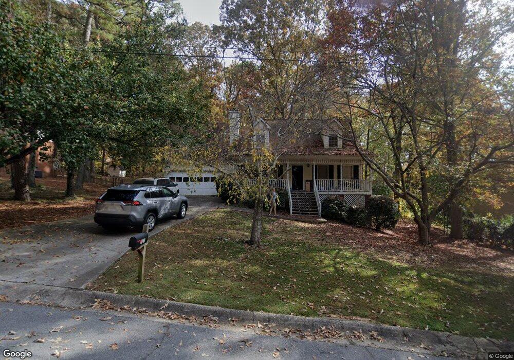
121 Muddy River Rd Unit 3 Lawrenceville, GA 30043
Estimated Value: $302,000 - $338,000
3
Beds
2
Baths
1,214
Sq Ft
$266/Sq Ft
Est. Value
About This Home
This home is located at 121 Muddy River Rd Unit 3, Lawrenceville, GA 30043 and is currently estimated at $322,824, approximately $265 per square foot. 121 Muddy River Rd Unit 3 is a home located in Gwinnett County with nearby schools including Taylor Elementary School, Creekland Middle School, and Collins Hill High School.
Ownership History
Date
Name
Owned For
Owner Type
Purchase Details
Closed on
Jan 14, 2004
Sold by
Moore Robert A and Moore Vicki L
Bought by
Robinson Douglas J
Current Estimated Value
Home Financials for this Owner
Home Financials are based on the most recent Mortgage that was taken out on this home.
Original Mortgage
$31,080
Interest Rate
5.81%
Mortgage Type
Unknown
Create a Home Valuation Report for This Property
The Home Valuation Report is an in-depth analysis detailing your home's value as well as a comparison with similar homes in the area
Home Values in the Area
Average Home Value in this Area
Purchase History
| Date | Buyer | Sale Price | Title Company |
|---|---|---|---|
| Robinson Douglas J | $155,400 | -- |
Source: Public Records
Mortgage History
| Date | Status | Borrower | Loan Amount |
|---|---|---|---|
| Closed | Robinson Douglas J | $31,080 | |
| Open | Robinson Douglas J | $124,320 |
Source: Public Records
Tax History Compared to Growth
Tax History
| Year | Tax Paid | Tax Assessment Tax Assessment Total Assessment is a certain percentage of the fair market value that is determined by local assessors to be the total taxable value of land and additions on the property. | Land | Improvement |
|---|---|---|---|---|
| 2024 | $3,646 | $123,440 | $26,000 | $97,440 |
| 2023 | $3,646 | $123,440 | $26,000 | $97,440 |
| 2022 | $3,220 | $104,640 | $23,680 | $80,960 |
| 2021 | $2,668 | $76,480 | $18,000 | $58,480 |
| 2020 | $2,483 | $67,160 | $14,880 | $52,280 |
| 2019 | $2,310 | $62,920 | $14,880 | $48,040 |
| 2018 | $2,517 | $62,920 | $14,880 | $48,040 |
| 2016 | $2,154 | $52,040 | $12,000 | $40,040 |
| 2015 | $1,998 | $47,040 | $10,400 | $36,640 |
| 2014 | $1,274 | $26,480 | $6,000 | $20,480 |
Source: Public Records
Map
Nearby Homes
- 937 Sonny Boy Ln Unit 1
- 1825 Villageside Ct
- 1201 Brook Knoll Place
- 134 Waterloch Ct
- 221 Larkshyre Trail
- 154 Waterloch Ct
- 531 Shyrewood Dr
- 662 Sunstone Ln
- 660 Sunstone Ln
- 664 Sunstone Ln
- 658 Sunstone Ln
- Bryson Plan at River Walk Place
- Brooks Plan at River Walk Place
- 1230 Rivershyre Pkwy
- 687 Sunstone Ln
- 693 Sunstone Ln
- 689 Sunstone Ln
- 695 Sunstone Ln
- 699 Sunstone Ln
- 1244 Riverloch Way
- 131 Muddy River Rd Unit 3
- 111 Muddy River Rd Unit 3
- 141 Muddy River Rd
- 154 Lendon Ln
- 122 Muddy River Rd
- 101 Muddy River Rd
- 132 Muddy River Rd
- 112 Muddy River Rd
- 151 Muddy River Rd
- 91 Muddy River Rd Unit 3
- 924 Pop Laurin Ln
- 92 Muddy River Rd
- 102 Muddy River Rd Unit 3
- 934 Pop Laurin Ln Unit 3
- 135 Eric Run Ct
- 161 Muddy River Rd
- 125 Eric Run Ct
- 162 Lendon Ln
- 115 Eric Run Ct
- 115 Eric Run Ct