Estimated Value: $199,000 - $408,908
Studio
--
Bath
--
Sq Ft
10.6
Acres
About This Home
This home is located at 121 Mullen Rd, Wayne, ME 04284 and is currently estimated at $322,227. 121 Mullen Rd is a home.
Ownership History
Date
Name
Owned For
Owner Type
Purchase Details
Closed on
Aug 30, 2019
Sold by
Mullen Sherwood W Est
Bought by
Beaudoin Adrian L and Beaudoin Keltie L
Current Estimated Value
Home Financials for this Owner
Home Financials are based on the most recent Mortgage that was taken out on this home.
Original Mortgage
$161,500
Outstanding Balance
$141,750
Interest Rate
3.7%
Mortgage Type
New Conventional
Estimated Equity
$180,477
Purchase Details
Closed on
Sep 11, 2015
Sold by
Mullen Nancy W and Mullen Sherwood W
Bought by
Mullen Sherwood W
Create a Home Valuation Report for This Property
The Home Valuation Report is an in-depth analysis detailing your home's value as well as a comparison with similar homes in the area
Home Values in the Area
Average Home Value in this Area
Purchase History
| Date | Buyer | Sale Price | Title Company |
|---|---|---|---|
| Beaudoin Adrian L | -- | -- | |
| Mullen Sherwood W | -- | -- |
Source: Public Records
Mortgage History
| Date | Status | Borrower | Loan Amount |
|---|---|---|---|
| Open | Beaudoin Adrian L | $161,500 |
Source: Public Records
Tax History
| Year | Tax Paid | Tax Assessment Tax Assessment Total Assessment is a certain percentage of the fair market value that is determined by local assessors to be the total taxable value of land and additions on the property. | Land | Improvement |
|---|---|---|---|---|
| 2024 | $4,610 | $389,700 | $104,200 | $285,500 |
| 2023 | $3,994 | $193,900 | $37,700 | $156,200 |
| 2022 | $3,659 | $193,900 | $37,700 | $156,200 |
| 2021 | $3,482 | $193,900 | $37,700 | $156,200 |
| 2020 | $3,482 | $193,900 | $37,700 | $156,200 |
| 2019 | $3,482 | $193,900 | $37,700 | $156,200 |
| 2017 | $3,139 | $193,900 | $37,700 | $156,200 |
| 2016 | $2,876 | $193,900 | $37,700 | $156,200 |
| 2015 | $2,825 | $193,900 | $37,700 | $156,200 |
| 2014 | $2,786 | $193,900 | $37,700 | $156,200 |
| 2013 | $2,753 | $193,900 | $37,700 | $156,200 |
Source: Public Records
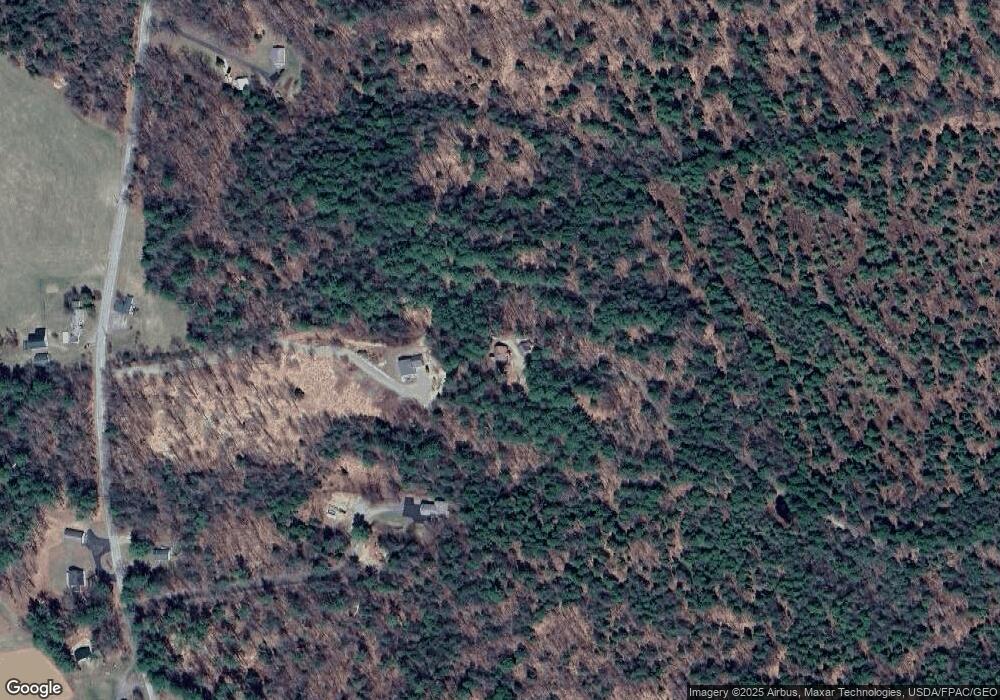
Map
Nearby Homes
- 286 Pond Rd
- 132 Hunton Loop
- 506 Main St
- 156 Lakeshore Dr
- 232 Campground Rd
- M 6, L 32 Main St
- Lot 39 Main St
- 309 Strickland Ferry Rd
- 29 Kents Hill Rd
- Lot 0 Strickland Ferry Rd
- 27 Mountain View Rd
- 57 Deer Hill Rd
- Lot 42C Baldwin Hill Rd
- Lot 48-4 Baldwin Hill Rd
- 881 River Rd
- 75 Lovejoy Shores Dr
- 0 Baldwin Hill Rd Unit 1624053
- 1835 Main St
- 591 North Rd
- 735 River Rd
Your Personal Tour Guide
Ask me questions while you tour the home.