121 N 2nd St Ostrander, OH 43061
Scioto NeighborhoodEstimated Value: $205,000 - $314,000
3
Beds
1
Bath
1,134
Sq Ft
$227/Sq Ft
Est. Value
About This Home
This home is located at 121 N 2nd St, Ostrander, OH 43061 and is currently estimated at $257,592, approximately $227 per square foot. 121 N 2nd St is a home located in Delaware County with nearby schools including Buckeye Valley High School.
Ownership History
Date
Name
Owned For
Owner Type
Purchase Details
Closed on
Oct 20, 2010
Sold by
Allen Samuel D and Allen Cris Anne
Bought by
Sletten Tom
Current Estimated Value
Purchase Details
Closed on
Apr 21, 2003
Sold by
Looney Delmon L and Looney Kerry L
Bought by
Allen Samuel D and Allen Cris Anne
Home Financials for this Owner
Home Financials are based on the most recent Mortgage that was taken out on this home.
Original Mortgage
$91,950
Interest Rate
5.48%
Mortgage Type
FHA
Create a Home Valuation Report for This Property
The Home Valuation Report is an in-depth analysis detailing your home's value as well as a comparison with similar homes in the area
Home Values in the Area
Average Home Value in this Area
Purchase History
| Date | Buyer | Sale Price | Title Company |
|---|---|---|---|
| Sletten Tom | -- | First American Title Ins Co | |
| Allen Samuel D | $92,700 | -- |
Source: Public Records
Mortgage History
| Date | Status | Borrower | Loan Amount |
|---|---|---|---|
| Previous Owner | Allen Samuel D | $91,950 |
Source: Public Records
Tax History
| Year | Tax Paid | Tax Assessment Tax Assessment Total Assessment is a certain percentage of the fair market value that is determined by local assessors to be the total taxable value of land and additions on the property. | Land | Improvement |
|---|---|---|---|---|
| 2024 | $1,978 | $57,300 | $18,800 | $38,500 |
| 2023 | $1,978 | $57,300 | $18,800 | $38,500 |
| 2022 | $1,468 | $38,020 | $13,060 | $24,960 |
| 2021 | $1,432 | $38,020 | $13,060 | $24,960 |
| 2020 | $1,441 | $38,020 | $13,060 | $24,960 |
| 2019 | $1,321 | $31,860 | $10,890 | $20,970 |
| 2018 | $1,345 | $31,860 | $10,890 | $20,970 |
| 2017 | $1,244 | $31,360 | $8,330 | $23,030 |
| 2016 | $1,248 | $31,360 | $8,330 | $23,030 |
| 2015 | $1,316 | $31,360 | $8,330 | $23,030 |
| 2014 | $1,240 | $31,360 | $8,330 | $23,030 |
| 2013 | $1,290 | $31,360 | $8,330 | $23,030 |
Source: Public Records
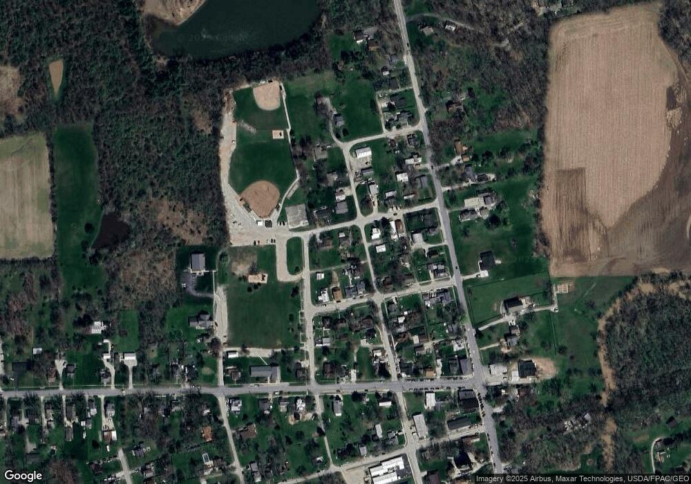
Map
Nearby Homes
- 101 S Main St
- 0 E High St Unit Tract 1 225034753
- 0 E High St Unit Tract 4 225034758
- 0 E High St Unit Tract 3 225034757
- 187 Long Trail
- 0 Dean Rd Unit 225032132
- 0 Dean Rd Unit 225032131
- 3480 Ostrander Rd
- 311 Ben Curtis Dr
- 231 Bluegrass Way
- 535 Brayshaw Dr
- 10156 Marysville Rd
- 5586 Taylor Rd
- 0 Carr Rd Unit 225016840
- 0 Burnt Pond Rd Unit Tract 2
- 0 Burnt Pond Rd Unit Tract 4
- 0 Burnt Pond Rd Unit Tract 5
- 15319 Fish Rd
- 0 Delaware County Line Rd
- 20478 Delaware County Line Rd
Your Personal Tour Guide
Ask me questions while you tour the home.