121 N Farms Rd Middlebury, CT 06762
Estimated Value: $707,009 - $788,000
4
Beds
3
Baths
3,301
Sq Ft
$228/Sq Ft
Est. Value
About This Home
This home is located at 121 N Farms Rd, Middlebury, CT 06762 and is currently estimated at $751,002, approximately $227 per square foot. 121 N Farms Rd is a home located in New Haven County with nearby schools including Long Meadow Elementary School, Memorial Middle School, and Pomperaug Regional High School.
Ownership History
Date
Name
Owned For
Owner Type
Purchase Details
Closed on
Jul 7, 2020
Sold by
Barnett Clare and Barnett John
Bought by
Krauchick Mark
Current Estimated Value
Home Financials for this Owner
Home Financials are based on the most recent Mortgage that was taken out on this home.
Original Mortgage
$306,400
Outstanding Balance
$271,695
Interest Rate
3.1%
Mortgage Type
New Conventional
Estimated Equity
$479,307
Purchase Details
Closed on
Mar 13, 1998
Sold by
Leber Abe
Bought by
Barnett John and Barnett Clare
Home Financials for this Owner
Home Financials are based on the most recent Mortgage that was taken out on this home.
Original Mortgage
$210,000
Interest Rate
6.5%
Mortgage Type
Purchase Money Mortgage
Create a Home Valuation Report for This Property
The Home Valuation Report is an in-depth analysis detailing your home's value as well as a comparison with similar homes in the area
Home Values in the Area
Average Home Value in this Area
Purchase History
| Date | Buyer | Sale Price | Title Company |
|---|---|---|---|
| Krauchick Mark | $383,000 | None Available | |
| Krauchick Mark | $383,000 | None Available | |
| Barnett John | $290,000 | -- | |
| Barnett John | $290,000 | -- |
Source: Public Records
Mortgage History
| Date | Status | Borrower | Loan Amount |
|---|---|---|---|
| Open | Krauchick Mark | $306,400 | |
| Closed | Krauchick Mark | $306,400 | |
| Previous Owner | Barnett John | $210,000 |
Source: Public Records
Tax History Compared to Growth
Tax History
| Year | Tax Paid | Tax Assessment Tax Assessment Total Assessment is a certain percentage of the fair market value that is determined by local assessors to be the total taxable value of land and additions on the property. | Land | Improvement |
|---|---|---|---|---|
| 2025 | $11,044 | $339,600 | $88,200 | $251,400 |
| 2024 | $11,071 | $339,600 | $88,200 | $251,400 |
| 2023 | $10,955 | $339,600 | $88,200 | $251,400 |
| 2022 | $10,616 | $339,600 | $88,200 | $251,400 |
| 2021 | $10,484 | $301,000 | $97,800 | $203,200 |
| 2020 | $10,565 | $301,000 | $97,800 | $203,200 |
| 2019 | $10,053 | $301,000 | $97,800 | $203,200 |
| 2018 | $9,786 | $301,000 | $97,800 | $203,200 |
| 2017 | $9,478 | $301,000 | $97,800 | $203,200 |
| 2016 | $9,635 | $310,700 | $114,700 | $196,000 |
| 2015 | $9,358 | $310,700 | $114,700 | $196,000 |
| 2014 | $9,116 | $310,700 | $114,700 | $196,000 |
Source: Public Records
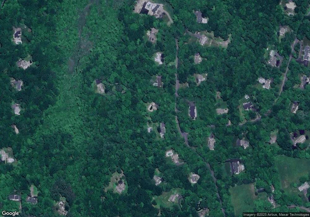
Map
Nearby Homes
- 200 N Farm Rd
- 80 Pine Hollow Dr
- 7 Sandy Beach Rd
- 288 Watertown Rd Unit Lot 5
- 66 Artillery Rd
- 72 Carriage Dr
- 225 Crest Rd
- 1461 Bunker Hill Rd
- 126 Colonial Ave
- 11 Upper Whittemore Rd
- 105 Jericho Rd
- 432 Quassapaug Rd
- 182 Bayberry Terrace
- 71 Concord Dr
- 111 Dwyer Rd
- 3 Pine Ridge Unit 23
- 10 Lake Rd
- 32 Yale Ave
- 51 Cross Rd
- 2 Dogwood Ct