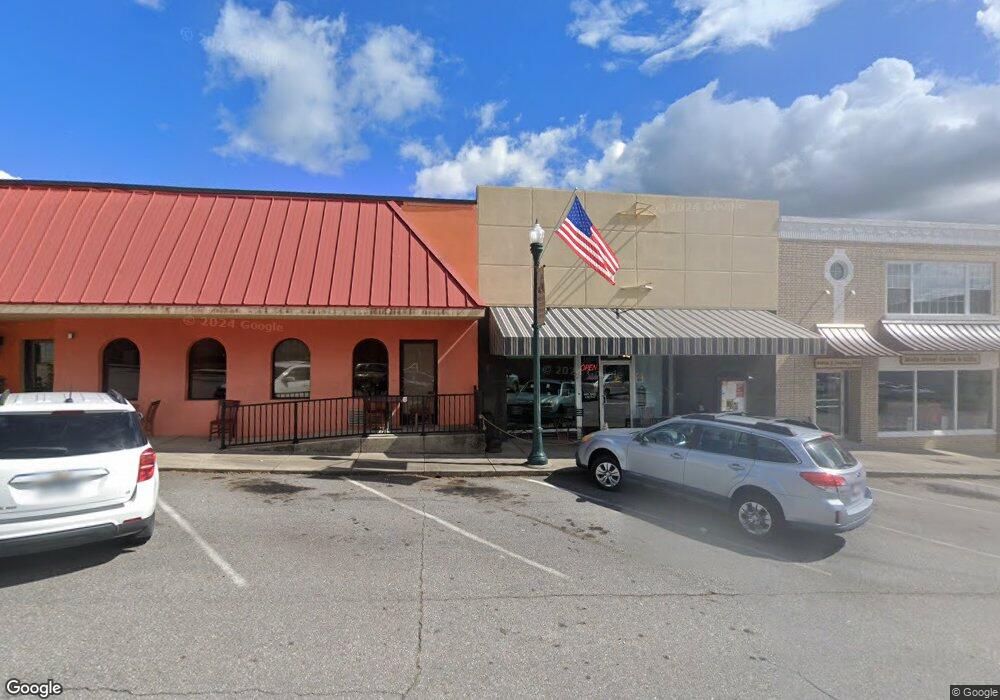
121 N Main St Stuart, VA 24171
Estimated Value: $198,089
Studio
2
Baths
2,662
Sq Ft
$74/Sq Ft
Est. Value
About This Home
This home is located at 121 N Main St, Stuart, VA 24171 and is currently estimated at $198,089, approximately $74 per square foot. 121 N Main St is a home located in Patrick County with nearby schools including Patrick County High School.
Ownership History
Date
Name
Owned For
Owner Type
Purchase Details
Closed on
Jan 14, 2022
Sold by
Puckett Properties Llc
Bought by
Lonely Mountain Limited Liabil
Current Estimated Value
Purchase Details
Closed on
Apr 24, 2015
Sold by
Kipreos Properties Llc
Bought by
Puckett Properties Llc
Home Financials for this Owner
Home Financials are based on the most recent Mortgage that was taken out on this home.
Original Mortgage
$72,000
Interest Rate
3.86%
Mortgage Type
Land Contract Argmt. Of Sale
Purchase Details
Closed on
Jun 26, 2012
Sold by
Firebaugh Dale W
Bought by
Kipreos Properties Llc
Home Financials for this Owner
Home Financials are based on the most recent Mortgage that was taken out on this home.
Original Mortgage
$30,000
Interest Rate
3.84%
Mortgage Type
Land Contract Argmt. Of Sale
Create a Home Valuation Report for This Property
The Home Valuation Report is an in-depth analysis detailing your home's value as well as a comparison with similar homes in the area
Purchase History
| Date | Buyer | Sale Price | Title Company |
|---|---|---|---|
| Lonely Mountain Limited Liabil | $163,000 | Ie Chip Slate Ii Pc | |
| Puckett Properties Llc | $96,900 | -- | |
| Kipreos Properties Llc | $111,000 | -- |
Source: Public Records
Mortgage History
| Date | Status | Borrower | Loan Amount |
|---|---|---|---|
| Previous Owner | Kipreos Properties Llc | $72,000 | |
| Previous Owner | Kipreos Properties Llc | $30,000 |
Source: Public Records
Tax History
| Year | Tax Paid | Tax Assessment Tax Assessment Total Assessment is a certain percentage of the fair market value that is determined by local assessors to be the total taxable value of land and additions on the property. | Land | Improvement |
|---|---|---|---|---|
| 2025 | $869 | $119,100 | $25,000 | $94,100 |
| 2024 | $869 | $119,100 | $25,000 | $94,100 |
| 2023 | $869 | $119,100 | $25,000 | $94,100 |
| 2022 | $869 | $119,100 | $25,000 | $94,100 |
| 2021 | $810 | $119,100 | $25,000 | $94,100 |
| 2020 | $666 | $97,900 | $25,000 | $72,900 |
| 2019 | $666 | $97,900 | $25,000 | $72,900 |
| 2018 | $558 | $97,900 | $25,000 | $72,900 |
| 2017 | -- | $97,900 | $25,000 | $72,900 |
| 2016 | $558 | $97,900 | $25,000 | $72,900 |
| 2015 | -- | $96,900 | $25,000 | $71,900 |
| 2014 | -- | $106,100 | $25,000 | $81,100 |
Source: Public Records
Map
Nearby Homes
- 0 Buena Vista Ave
- 208 Buena Vista Ave
- 201 W Blue Ridge St
- 318 W Blue Ridge St
- 113 Sunset Dr
- 209 Pine St
- 174 Developmental Rd
- 0 Ashby Dr
- 8153 Salem Hwy
- 107 Carters View Ct
- 358 Twin Ford Loop
- Lot 33 Pine Knoll Farms Loop
- lot 31 Pine Knoll Farms Loop
- lot 39 Pine Knoll Farms Loop
- Lot 38 Pine Knoll Farms Loop
- 0 Pine Knoll Farms Unit 104183
- 0 Pine Knoll Farms Unit 145572
- 0 Pine Knoll Farms Unit 104190
- 0 Pine Knoll Farms Unit 145573
- 970 Dobyns Church Rd
Your Personal Tour Guide
Ask me questions while you tour the home.