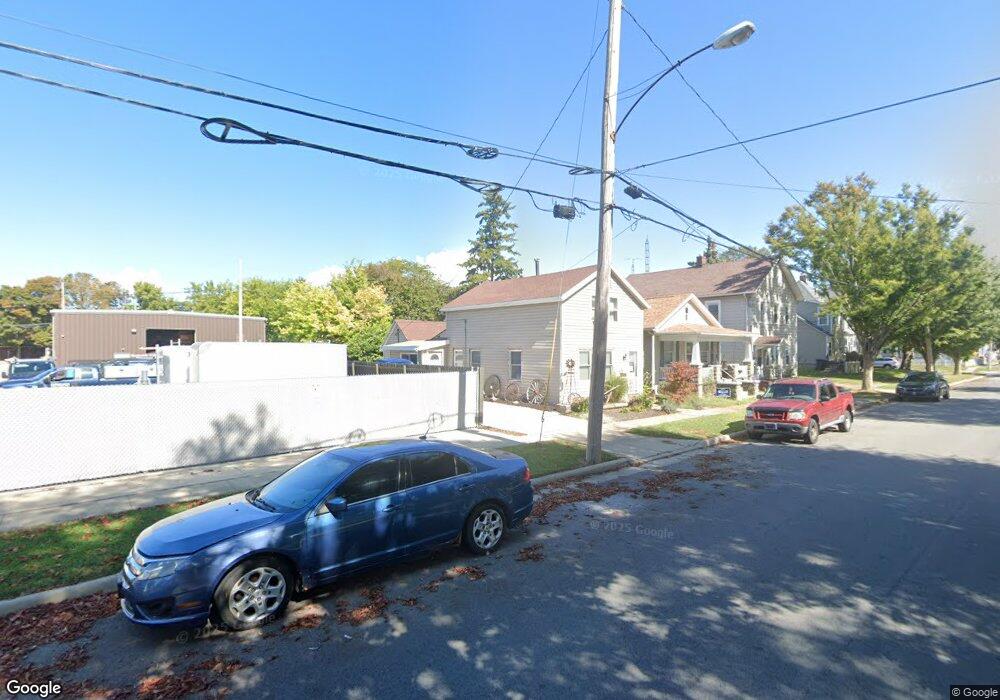
121 Neil St Sandusky, OH 44870
Estimated Value: $107,969 - $134,000
3
Beds
1
Bath
1,425
Sq Ft
$85/Sq Ft
Est. Value
About This Home
This home is located at 121 Neil St, Sandusky, OH 44870 and is currently estimated at $121,492, approximately $85 per square foot. 121 Neil St is a home located in Erie County with nearby schools including Sandusky High School, Monroe Preparatory Academy, and Sandusky Central Catholic School.
Ownership History
Date
Name
Owned For
Owner Type
Purchase Details
Closed on
Apr 24, 2017
Sold by
Brennan Laurie M
Bought by
Brennan Jon A
Current Estimated Value
Purchase Details
Closed on
Nov 26, 1996
Sold by
Thomsen Carolyn
Bought by
Brennan Jon A and Brennan Laurie M
Home Financials for this Owner
Home Financials are based on the most recent Mortgage that was taken out on this home.
Original Mortgage
$21,000
Interest Rate
7.94%
Mortgage Type
New Conventional
Create a Home Valuation Report for This Property
The Home Valuation Report is an in-depth analysis detailing your home's value as well as a comparison with similar homes in the area
Home Values in the Area
Average Home Value in this Area
Purchase History
| Date | Buyer | Sale Price | Title Company |
|---|---|---|---|
| Brennan Jon A | -- | None Available | |
| Brennan Jon A | $18,516 | -- |
Source: Public Records
Mortgage History
| Date | Status | Borrower | Loan Amount |
|---|---|---|---|
| Closed | Brennan Jon A | $21,000 |
Source: Public Records
Tax History Compared to Growth
Tax History
| Year | Tax Paid | Tax Assessment Tax Assessment Total Assessment is a certain percentage of the fair market value that is determined by local assessors to be the total taxable value of land and additions on the property. | Land | Improvement |
|---|---|---|---|---|
| 2024 | $811 | $21,090 | $3,356 | $17,734 |
| 2023 | $811 | $18,920 | $2,621 | $16,299 |
| 2022 | $983 | $18,920 | $2,621 | $16,299 |
| 2021 | $945 | $18,920 | $2,620 | $16,300 |
| 2020 | $1,000 | $18,410 | $2,620 | $15,790 |
| 2019 | $1,028 | $18,410 | $2,620 | $15,790 |
| 2018 | $1,030 | $18,410 | $2,620 | $15,790 |
| 2017 | $1,333 | $18,030 | $2,730 | $15,300 |
| 2016 | $1,011 | $18,030 | $2,730 | $15,300 |
| 2015 | $958 | $18,030 | $2,730 | $15,300 |
| 2014 | $907 | $18,030 | $2,730 | $15,300 |
| 2013 | $898 | $18,030 | $2,730 | $15,300 |
Source: Public Records
Map
Nearby Homes
- 801 Hayes Ave
- 817 Hayes Ave
- 919 Hancock St
- 1031 Columbus Ave
- 1035 Campbell St
- 0 Milan Rd Unit 3997231
- 0 Milan Rd Unit 3805445
- 0 Milan Rd Unit 20182198
- 221 Scott St
- 221 Reese St
- 206 Townsend St
- 404 Reese St
- 318 W Monroe St
- 831 Decatur St
- 823 Decatur St
- 510 Reese St
- 1311 Franklin St
- 517 Polk St
- 516 Franklin St
- 514 Franklin St
- 123 Neil St
- 117 Neil St
- 125 Neil St
- 125 Neil St Unit 125 Neil Street Upper
- 913 Wayne St
- 921 Wayne St
- 917 Wayne St
- 917 Wayne St Unit 1 First Floor
- 919 Wayne St
- 120 Neil St
- 122 Neil St
- 911 Wayne St
- 907 Wayne St
- 118 Division St
- 116 Neil St
- 1001 Wayne St
- 110 Neil St
- 0 Division Unit 4138269
- 905 Wayne St
- 1007 Wayne St