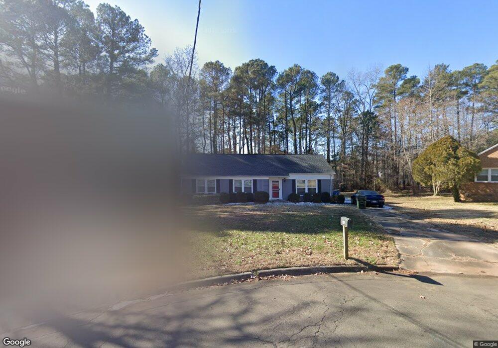
121 Oliver Ln Durham, NC 27713
South Durham NeighborhoodEstimated Value: $373,098 - $498,000
3
Beds
2
Baths
1,597
Sq Ft
$259/Sq Ft
Est. Value
About This Home
This home is located at 121 Oliver Ln, Durham, NC 27713 and is currently estimated at $413,275, approximately $258 per square foot. 121 Oliver Ln is a home located in Durham County with nearby schools including Parkwood Elementary, Lowe's Grove Middle, and Hillside High School.
Ownership History
Date
Name
Owned For
Owner Type
Purchase Details
Closed on
Apr 25, 2014
Sold by
El Bindlestiff Llc
Bought by
Wilson Teresa D and Williams Renee
Current Estimated Value
Home Financials for this Owner
Home Financials are based on the most recent Mortgage that was taken out on this home.
Original Mortgage
$167,902
Outstanding Balance
$127,925
Interest Rate
4.4%
Mortgage Type
FHA
Estimated Equity
$285,350
Purchase Details
Closed on
Jul 19, 2013
Sold by
Spainhour Linda A and Higginbotham Jamie Marie
Bought by
Cl Bindlestiff Llc
Create a Home Valuation Report for This Property
The Home Valuation Report is an in-depth analysis detailing your home's value as well as a comparison with similar homes in the area
Home Values in the Area
Average Home Value in this Area
Purchase History
| Date | Buyer | Sale Price | Title Company |
|---|---|---|---|
| Wilson Teresa D | $171,000 | None Available | |
| Cl Bindlestiff Llc | $60,000 | None Available |
Source: Public Records
Mortgage History
| Date | Status | Borrower | Loan Amount |
|---|---|---|---|
| Open | Wilson Teresa D | $167,902 |
Source: Public Records
Tax History
| Year | Tax Paid | Tax Assessment Tax Assessment Total Assessment is a certain percentage of the fair market value that is determined by local assessors to be the total taxable value of land and additions on the property. | Land | Improvement |
|---|---|---|---|---|
| 2025 | $3,479 | $350,922 | $136,000 | $214,922 |
| 2024 | $2,810 | $201,481 | $40,890 | $160,591 |
| 2023 | $2,639 | $201,481 | $40,890 | $160,591 |
| 2022 | $2,579 | $201,481 | $40,890 | $160,591 |
| 2021 | $2,567 | $201,481 | $40,890 | $160,591 |
| 2020 | $2,506 | $201,481 | $40,890 | $160,591 |
| 2019 | $2,506 | $201,481 | $40,890 | $160,591 |
| 2018 | $2,212 | $163,030 | $30,667 | $132,363 |
| 2017 | $2,195 | $163,030 | $30,667 | $132,363 |
| 2016 | $2,121 | $163,030 | $30,667 | $132,363 |
| 2015 | $1,785 | $128,910 | $33,124 | $95,786 |
| 2014 | $1,785 | $128,910 | $33,124 | $95,786 |
Source: Public Records
Map
Nearby Homes
- 1446 Clermont Rd
- 1621 Clermont Rd
- 1509 Clermont Rd Unit T27
- 1509 Clermont Rd Unit T24
- 123 Montclair Cir
- 1304 Seaton Rd Unit 2
- 1304 Seaton Rd Unit 30
- 124 Wicklow Ln
- 5504 Pelham Rd
- 111 Wenonah Way
- 7 Scenic Ct
- 104 Deblyn Ct
- 6353 Grandale Dr
- 5608 Frenchmans Creek Dr
- 43 Redbud Ct
- 5409 Grandhaven Dr
- 5907 Rustic Wood Ln
- 5308 Mccormick Rd
- 1526 Euclid Rd
- 1510 Haventree Rd
Your Personal Tour Guide
Ask me questions while you tour the home.