121 Osprey Dr Front Royal, VA 22630
Estimated Value: $539,996 - $628,000
3
Beds
4
Baths
2,680
Sq Ft
$217/Sq Ft
Est. Value
About This Home
This home is located at 121 Osprey Dr, Front Royal, VA 22630 and is currently estimated at $581,999, approximately $217 per square foot. 121 Osprey Dr is a home located in Frederick County with nearby schools including Armel Elementary School, Admiral Richard E. Byrd Middle School, and Sherando High School.
Ownership History
Date
Name
Owned For
Owner Type
Purchase Details
Closed on
Jan 28, 2007
Sold by
Cetnex Homes
Bought by
Glowaz Donald J
Current Estimated Value
Home Financials for this Owner
Home Financials are based on the most recent Mortgage that was taken out on this home.
Original Mortgage
$75,000
Outstanding Balance
$45,196
Interest Rate
6.27%
Mortgage Type
New Conventional
Estimated Equity
$536,803
Create a Home Valuation Report for This Property
The Home Valuation Report is an in-depth analysis detailing your home's value as well as a comparison with similar homes in the area
Home Values in the Area
Average Home Value in this Area
Purchase History
| Date | Buyer | Sale Price | Title Company |
|---|---|---|---|
| Glowaz Donald J | $350,000 | -- |
Source: Public Records
Mortgage History
| Date | Status | Borrower | Loan Amount |
|---|---|---|---|
| Open | Glowaz Donald J | $75,000 |
Source: Public Records
Tax History
| Year | Tax Paid | Tax Assessment Tax Assessment Total Assessment is a certain percentage of the fair market value that is determined by local assessors to be the total taxable value of land and additions on the property. | Land | Improvement |
|---|---|---|---|---|
| 2025 | $2,189 | $456,100 | $108,000 | $348,100 |
| 2024 | $1,071 | $420,000 | $92,000 | $328,000 |
| 2023 | $2,142 | $420,000 | $92,000 | $328,000 |
| 2022 | $2,344 | $384,200 | $87,000 | $297,200 |
| 2021 | $2,344 | $384,200 | $87,000 | $297,200 |
| 2020 | $2,313 | $379,200 | $87,000 | $292,200 |
| 2019 | $2,313 | $379,200 | $87,000 | $292,200 |
| 2018 | $2,229 | $365,400 | $87,000 | $278,400 |
| 2017 | $2,192 | $365,400 | $87,000 | $278,400 |
| 2016 | $2,080 | $346,700 | $84,500 | $262,200 |
| 2015 | $1,942 | $346,700 | $84,500 | $262,200 |
| 2014 | $890 | $319,900 | $84,500 | $235,400 |
Source: Public Records
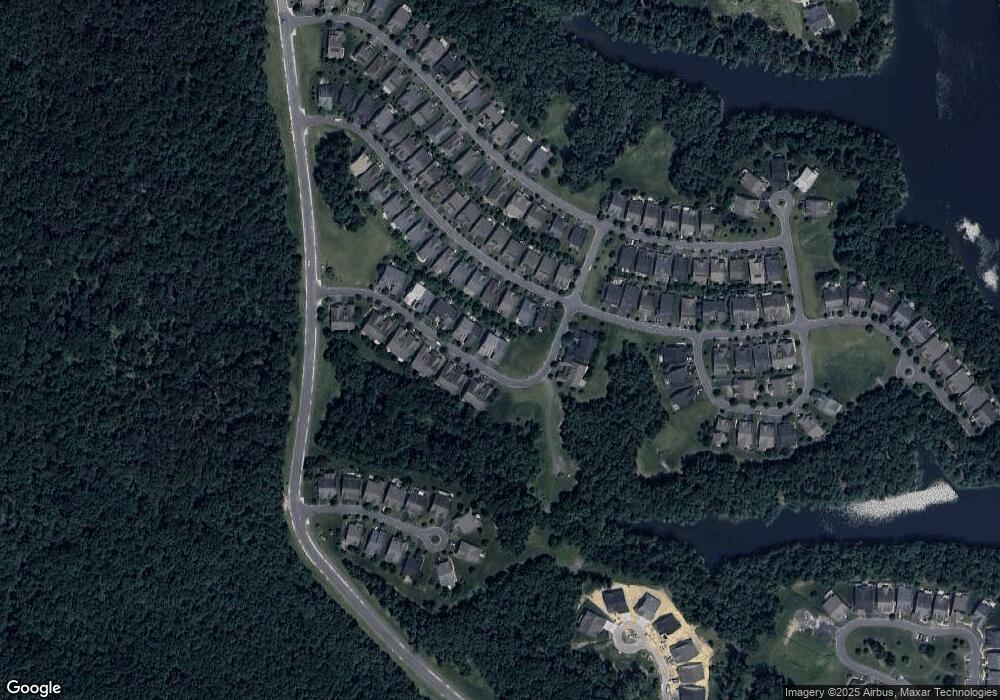
Map
Nearby Homes
- 114 Turnstone Ln
- 105 Turnstone Ln
- 107 Yellow Birch Ct
- 102 Betony Ct
- 109 Song Sparrow Dr
- 118 Viceroy Way
- 109 Wax Wing Ct
- 117 Harvester Dr
- 134 Atlantis Ln
- 117 Pintail Way
- 109 Tutelo Ln
- 103 Cloak Ln
- 124 Checkerspot Way
- 117 Mallard Dr
- 136 Mallard Dr
- 104 Rhododendron Ct
- 108 Rhododendron Ct
- 106 Rhododendron Ct
- 107 Cabbage White Dr
- 109 Bayhill Terrace
Your Personal Tour Guide
Ask me questions while you tour the home.