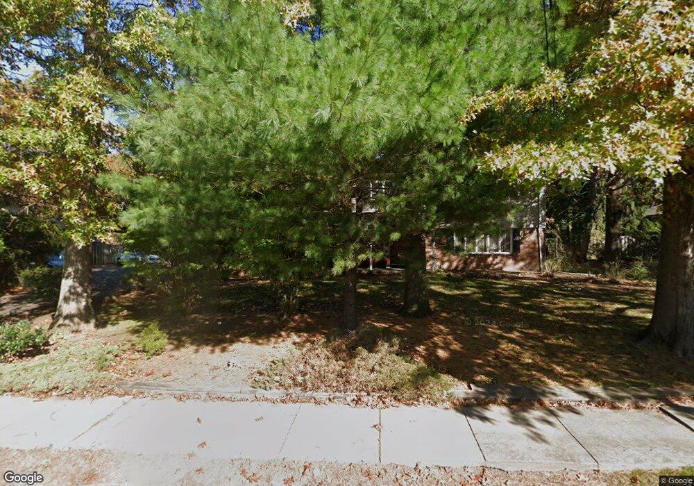
121 Palmer Ave South Plainfield, NJ 07080
Estimated Value: $569,000 - $741,000
--
Bed
--
Bath
--
Sq Ft
0.42
Acres
About This Home
This home is located at 121 Palmer Ave, South Plainfield, NJ 07080 and is currently estimated at $677,762. 121 Palmer Ave is a home located in Middlesex County with nearby schools including South Plainfield High School, The Queen City Academy Charter School, and Koinonia Academy.
Ownership History
Date
Name
Owned For
Owner Type
Purchase Details
Closed on
Dec 19, 2005
Current Estimated Value
Purchase Details
Closed on
May 30, 2002
Sold by
Johnston Michelle
Bought by
Bogden Jeffrey and Bogden Josephine
Home Financials for this Owner
Home Financials are based on the most recent Mortgage that was taken out on this home.
Original Mortgage
$236,000
Interest Rate
6.92%
Purchase Details
Closed on
Nov 22, 1999
Sold by
Rose David
Bought by
Johnston Michelle
Create a Home Valuation Report for This Property
The Home Valuation Report is an in-depth analysis detailing your home's value as well as a comparison with similar homes in the area
Home Values in the Area
Average Home Value in this Area
Purchase History
| Date | Buyer | Sale Price | Title Company |
|---|---|---|---|
| -- | -- | -- | |
| Bogden Jeffrey | $295,000 | -- | |
| Johnston Michelle | $233,500 | -- |
Source: Public Records
Mortgage History
| Date | Status | Borrower | Loan Amount |
|---|---|---|---|
| Previous Owner | Bogden Jeffrey | $236,000 | |
| Closed | Johnston Michelle | $0 |
Source: Public Records
Tax History Compared to Growth
Tax History
| Year | Tax Paid | Tax Assessment Tax Assessment Total Assessment is a certain percentage of the fair market value that is determined by local assessors to be the total taxable value of land and additions on the property. | Land | Improvement |
|---|---|---|---|---|
| 2025 | $13,329 | $190,900 | $38,300 | $152,600 |
| 2024 | $12,748 | $190,900 | $38,300 | $152,600 |
| 2023 | $12,748 | $190,900 | $38,300 | $152,600 |
| 2022 | $12,590 | $190,900 | $38,300 | $152,600 |
| 2021 | $12,294 | $190,900 | $38,300 | $152,600 |
| 2020 | $12,115 | $190,900 | $38,300 | $152,600 |
| 2019 | $11,624 | $190,900 | $38,300 | $152,600 |
| 2018 | $11,324 | $190,900 | $38,300 | $152,600 |
| 2017 | $11,179 | $190,900 | $38,300 | $152,600 |
| 2016 | $11,066 | $190,900 | $38,300 | $152,600 |
| 2015 | $10,876 | $190,900 | $38,300 | $152,600 |
| 2014 | $10,563 | $190,900 | $38,300 | $152,600 |
Source: Public Records
Map
Nearby Homes
- 139 Palmer Ave
- 824 Monroe Ave Unit 26
- 917 Tompkins Ave
- 925 Stelle Ave Unit 27
- 916 Sherman Ave
- 909 Sherman Ave
- 1210 Maltby Ave
- 946 W 7th St Unit 48
- 1221 Grant Ave Unit 23
- 900 06w7th St
- 950 W 6th St Unit 52
- 1154 Foster Ave
- 746 Stelle Ave Unit 50
- 619 Hartridge Place Unit 21
- 954 W 4th St
- 525 Trinity St
- 333 Mcdowell St Unit 35
- 610 Darrow Ave Unit 16
- 325-29 Stebbins Place Unit 4
- 717 W 7th St
- 1027 Sherman Ave
- 125 Palmer Ave
- 116 Palmer Ave
- 131 Palmer Ave
- 1008 Lewis Ave
- 1017 Sherman Ave Unit 19
- 1035 Sherman Ave
- 130 Palmer Ave
- 1013 Sherman Ave Unit 15
- 965 Lewis Ave
- 968 Dumas Ave
- 1004 Lewis Ave
- 1030 Sherman Ave Unit 36
- 966 Dumas Ave
- 1009 Sherman Ave Unit 11
- 1028 Sherman Ave
- 137 Palmer Ave
- 1046 Sherman Ave
- 1063 Sherman Ave
- 1020 Sherman Ave Unit 22