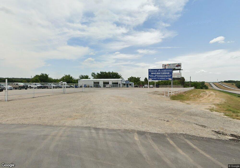
121 Private Road 2651 Decatur, TX 76234
Estimated Value: $673,000
--
Bed
--
Bath
1,632
Sq Ft
$412/Sq Ft
Est. Value
About This Home
This home is located at 121 Private Road 2651, Decatur, TX 76234 and is currently estimated at $673,000, approximately $412 per square foot. 121 Private Road 2651 is a home located in Wise County with nearby schools including Slidell Schools.
Ownership History
Date
Name
Owned For
Owner Type
Purchase Details
Closed on
Dec 4, 2023
Sold by
Middleton Herbert O and Jakubik Melaina A
Bought by
Bert And Melaina Middleton Family Trust and Middleton
Current Estimated Value
Purchase Details
Closed on
Aug 23, 2007
Sold by
Myers Bruce W and Myers Joyce A
Bought by
Middleton Herbert O and Jakubik Melaina A
Home Financials for this Owner
Home Financials are based on the most recent Mortgage that was taken out on this home.
Original Mortgage
$168,000
Interest Rate
6.72%
Mortgage Type
New Conventional
Purchase Details
Closed on
Apr 6, 2004
Bought by
Middleton Herbert and Jakubik Melaina
Create a Home Valuation Report for This Property
The Home Valuation Report is an in-depth analysis detailing your home's value as well as a comparison with similar homes in the area
Home Values in the Area
Average Home Value in this Area
Purchase History
| Date | Buyer | Sale Price | Title Company |
|---|---|---|---|
| Bert And Melaina Middleton Family Trust | -- | None Listed On Document | |
| Middleton Herbert O | -- | -- | |
| Middleton Herbert | -- | -- |
Source: Public Records
Mortgage History
| Date | Status | Borrower | Loan Amount |
|---|---|---|---|
| Previous Owner | Middleton Herbert O | $168,000 |
Source: Public Records
Tax History Compared to Growth
Tax History
| Year | Tax Paid | Tax Assessment Tax Assessment Total Assessment is a certain percentage of the fair market value that is determined by local assessors to be the total taxable value of land and additions on the property. | Land | Improvement |
|---|---|---|---|---|
| 2025 | $3,076 | $366,301 | $50,701 | $315,600 |
| 2024 | $3,076 | $368,806 | $50,653 | $318,153 |
| 2023 | $4,715 | $355,096 | $0 | $0 |
| 2022 | $4,075 | $411,168 | $0 | $0 |
| 2021 | $3,775 | $377,420 | $150,090 | $227,330 |
| 2020 | $3,561 | $337,130 | $120,080 | $217,050 |
| 2019 | $3,548 | $291,650 | $77,560 | $214,090 |
| 2018 | $3,435 | $279,470 | $77,560 | $201,910 |
| 2017 | $2,872 | $234,330 | $65,060 | $169,270 |
| 2016 | $2,647 | $217,030 | $60,050 | $156,980 |
| 2015 | -- | $215,110 | $60,050 | $155,060 |
| 2014 | -- | $157,550 | $11,000 | $146,550 |
Source: Public Records
Map
Nearby Homes
- 850 County Road 2750
- Tract 2 County Rd 2745
- 117 County Road 2646
- TBD 13.7+/- Acres County Road 2560
- 2591 Fm 1204
- 0 Calhoun Dr
- 2454 Private Rd
- 1411 Parker Dairy Rd
- TBD Parker Dairy Rd
- TBD County Road 2740
- TBD Pr 2454
- 1370 Parker Dairy Rd
- 755 County Road 2845
- 200 Pr 2462
- 0 Pr-2777 Unit 21021129
- TBD Lot 7 Parker Dairy Rd
- 174 County Road 2690
- 2080 County Road 2445
- 334 Greanead Rd
- TBD Merritt Rd
- 421 County Road 2650
- 199 Private Road 2655
- 360 Private Road 2651
- 329 County Road 2650
- 1432 County Road 2750
- 1065 County Road 2650
- 240 Pr 2654
- 240 Private Road 2654
- 119 County Road 2755
- 1242 County Road 2750
- 10.01 ac Fm 730 N
- 5812 N Fm 730
- 167 County Road 2755
- 10.01 ac County Road 2648
- 5832 N Fm 730
- 5684 N Fm 730
- 5684 N Fm 730
- 6001 N Fm 730
- 6001 N Fm 730
