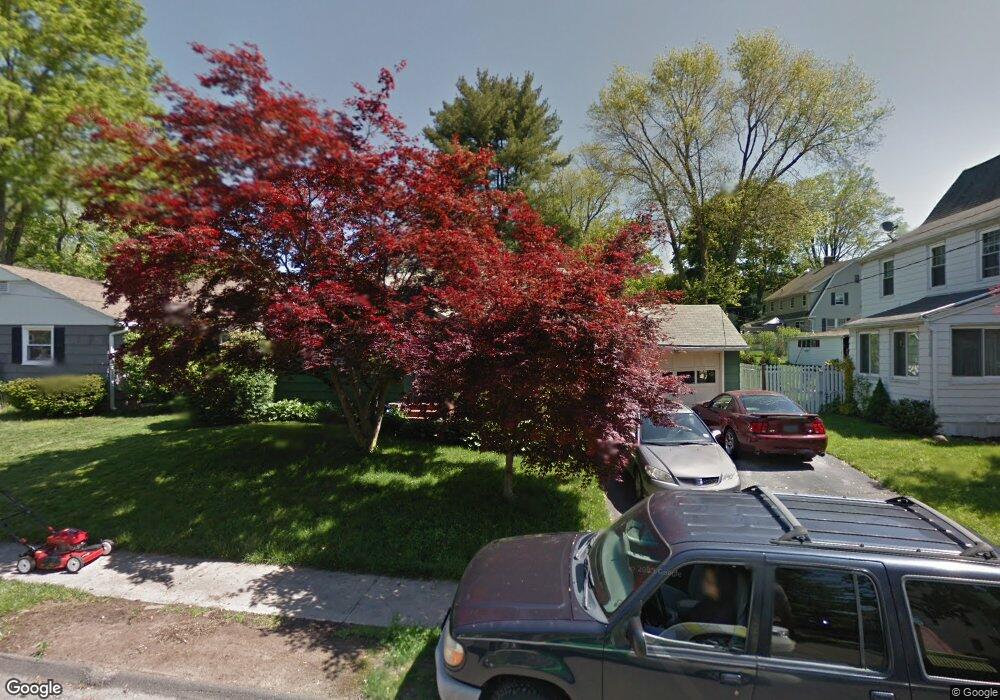
121 Radnor Ave Naugatuck, CT 06770
Estimated Value: $280,000 - $339,172
3
Beds
1
Bath
1,064
Sq Ft
$279/Sq Ft
Est. Value
About This Home
This home is located at 121 Radnor Ave, Naugatuck, CT 06770 and is currently estimated at $297,043, approximately $279 per square foot. 121 Radnor Ave is a home located in New Haven County with nearby schools including City Hill Middle School, Naugatuck High School, and Holy Cross High School.
Ownership History
Date
Name
Owned For
Owner Type
Purchase Details
Closed on
Jun 1, 2007
Sold by
Oettle William F
Bought by
Schuld Peter and Schuld Amaraluck
Current Estimated Value
Home Financials for this Owner
Home Financials are based on the most recent Mortgage that was taken out on this home.
Original Mortgage
$200,000
Interest Rate
6.24%
Mortgage Type
Purchase Money Mortgage
Purchase Details
Closed on
Feb 6, 2002
Sold by
Kielb Stanley R and Braun Kimberly P
Bought by
Oettle William F and Kielb Marie K
Home Financials for this Owner
Home Financials are based on the most recent Mortgage that was taken out on this home.
Original Mortgage
$107,400
Interest Rate
7.13%
Mortgage Type
Purchase Money Mortgage
Create a Home Valuation Report for This Property
The Home Valuation Report is an in-depth analysis detailing your home's value as well as a comparison with similar homes in the area
Home Values in the Area
Average Home Value in this Area
Purchase History
| Date | Buyer | Sale Price | Title Company |
|---|---|---|---|
| Schuld Peter | $200,200 | -- | |
| Oettle William F | $10,000 | -- |
Source: Public Records
Mortgage History
| Date | Status | Borrower | Loan Amount |
|---|---|---|---|
| Open | Oettle William F | $195,050 | |
| Closed | Oettle William F | $200,000 | |
| Previous Owner | Oettle William F | $107,400 |
Source: Public Records
Tax History Compared to Growth
Tax History
| Year | Tax Paid | Tax Assessment Tax Assessment Total Assessment is a certain percentage of the fair market value that is determined by local assessors to be the total taxable value of land and additions on the property. | Land | Improvement |
|---|---|---|---|---|
| 2025 | $5,601 | $140,770 | $25,760 | $115,010 |
| 2024 | $5,883 | $140,770 | $25,760 | $115,010 |
| 2023 | $6,299 | $140,770 | $25,760 | $115,010 |
| 2022 | $4,544 | $95,170 | $27,690 | $67,480 |
| 2021 | $4,544 | $95,170 | $27,690 | $67,480 |
| 2020 | $4,544 | $95,170 | $27,690 | $67,480 |
| 2019 | $4,497 | $95,170 | $27,690 | $67,480 |
| 2018 | $4,310 | $89,140 | $33,320 | $55,820 |
| 2017 | $4,328 | $89,140 | $33,320 | $55,820 |
| 2016 | $4,249 | $89,140 | $33,320 | $55,820 |
| 2015 | $4,062 | $89,140 | $33,320 | $55,820 |
| 2014 | $4,017 | $89,140 | $33,320 | $55,820 |
| 2012 | $4,435 | $132,200 | $42,070 | $90,130 |
Source: Public Records
Map
Nearby Homes
- 125 Thunderbird Dr
- 92A Thunderbird Dr
- 69 Nancy Ln
- 66 Nancy Ln
- 461 Spring St Unit 9E
- 23 Thunderbird Dr
- 29 Gaby Ln
- 31 Gaby Ln
- 111 Mallane Ln Unit 19A
- 6 Peach St
- 1385 Highland Ave Unit 20A
- 135 Elise Dr
- 925 Oronoke Rd Unit 17F
- 925 Oronoke Rd Unit 14B
- 925 Oronoke Rd Unit 14F
- 925 Oronoke Rd Unit 34A
- 925 Oronoke Rd Unit 38F
- 925 Oronoke Rd Unit 29A
- 925 Oronoke Rd Unit 34G
- 0 Silver Ridge Ln Unit 24139632
- 119 Radnor Ave
- 36 Sande Ave
- 101 Radnor Ave
- 0 Sande Ave Unit W1060878
- 0 Sande Ave Unit 98492131
- 118 Radnor Ave
- 46 Sande Ave
- 114 Radnor Ave
- 10 Winthrop Ave
- 10 Winthrop Ave
- 99 Radnor Ave
- 104 Radnor Ave
- 132 Radnor Ave
- 22 Winthrop Ave
- 55 Sande Ave
- 51 Sande Ave
- 26 Winthrop Ave
- 97 Radnor Ave
- 98 Radnor Ave
- 179 Platts Mill Rd